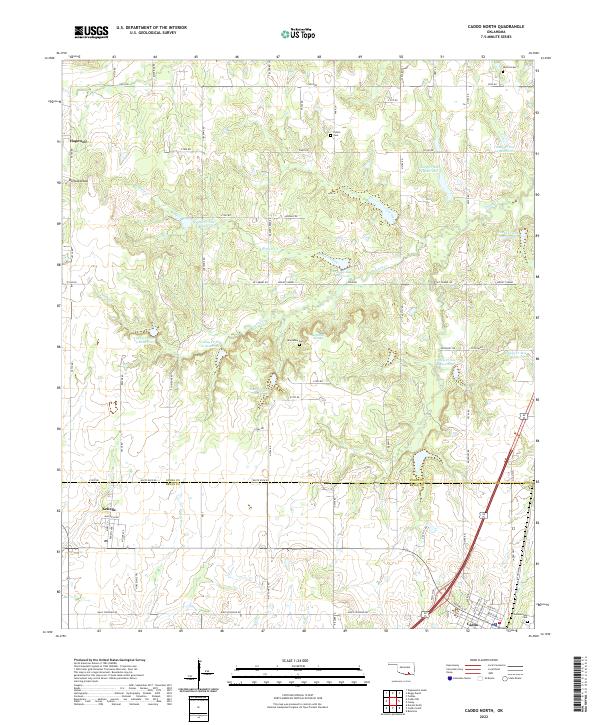
2022 Map of Caddo North
USGS Topo · Published 2022About this map
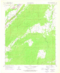
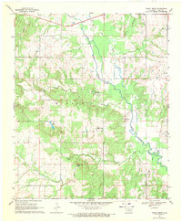
Maytubby Springs and its nearby Maytubby Cem sit at the heart of this landscape, illustrating the deep-rooted family and community history of northern Bryan County. The area is defined by a sophisticated system of flood control, as seen in the numerous basins along Caney Cr, including Caney Cr Site 11 Reservoir and Caney Cr Site 6 Reservoir. These water management features are interspersed with small settlements such as Kenefic and Buffalo Head, which reflect the region's rural character.
Find a feature on this map
53 named features on this map. Tap any name to fly to it.
Don’t see what you’re looking for? This feature index may not catch every label — zoom into the map to look around manually.
Map Details
Editions of this 2022 Caddo North Map
This is the sole edition of this map. No revisions or reprints were ever made.
Historical Maps of Caddo Through Time
24 maps found
1957 Bruno
Atoka County, OK
1957 Coalgate SE
Atoka County, OK
1957 Farris
Atoka County, OK
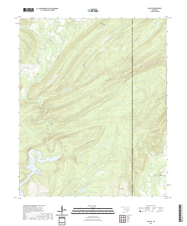
1957 Lane NE
Atoka County, OK
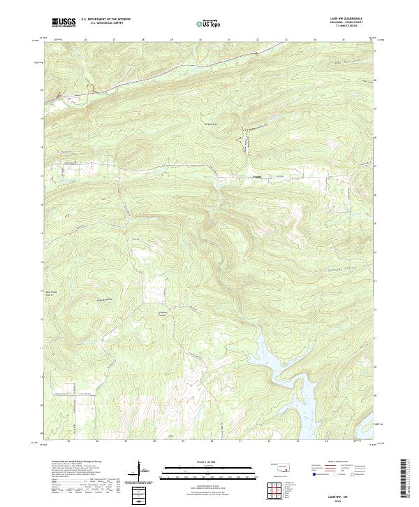
1957 Lane NW
Atoka County, OK
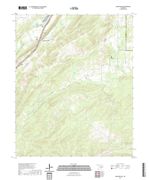
1957 Limestone Gap
Atoka County, OK
1961 Darwin
Atoka County, OK
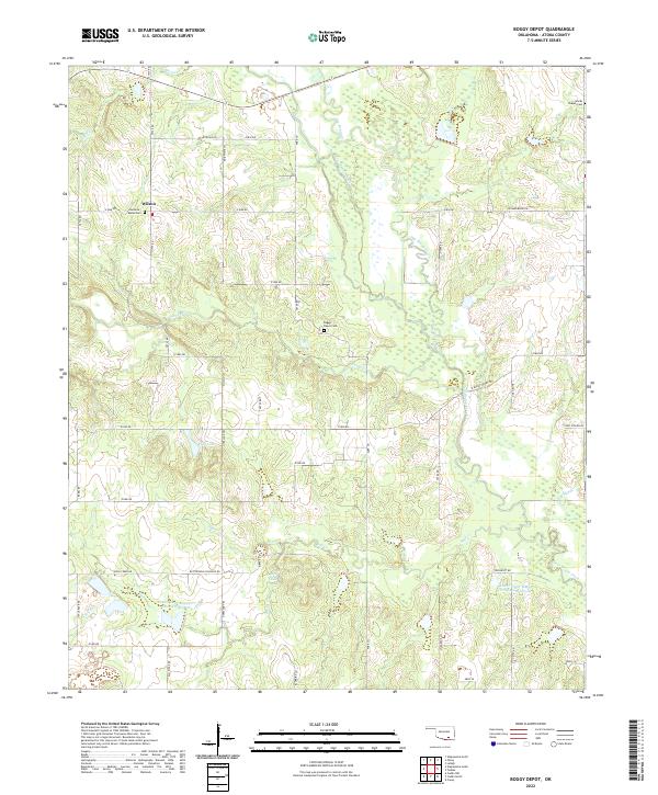
1969 Boggy Depot
Atoka County, OK
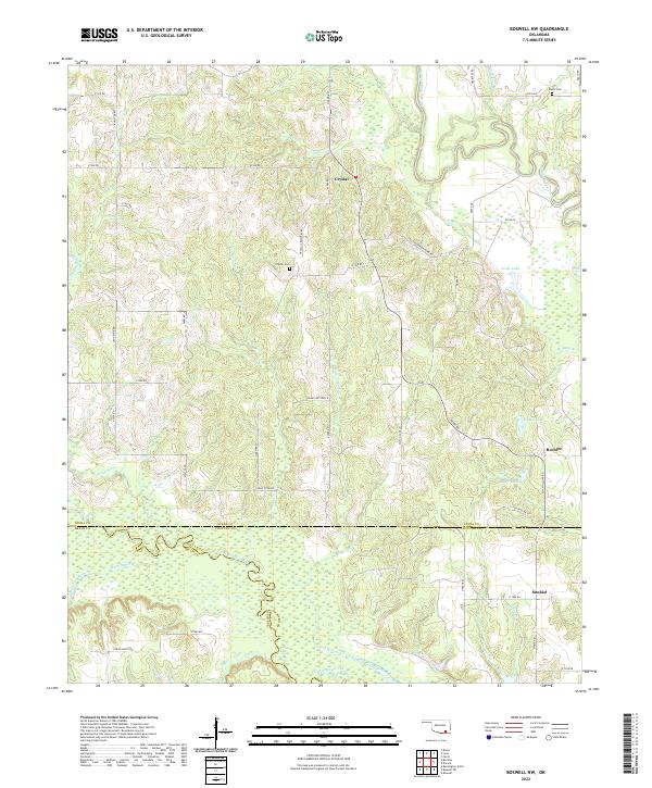
1969 Boswell NW
Atoka County, OK
1969 Caddo North
Atoka County, OK
1973 Daisy
Atoka County, OK
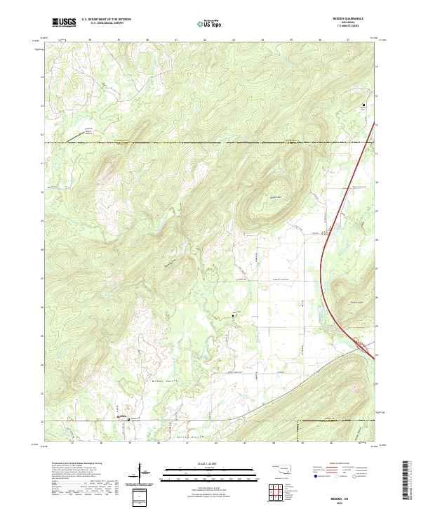
1973 Redden
Atoka County, OK
2022 Boggy Depot
Atoka County, OK
2022 Boswell NW
Atoka County, OK
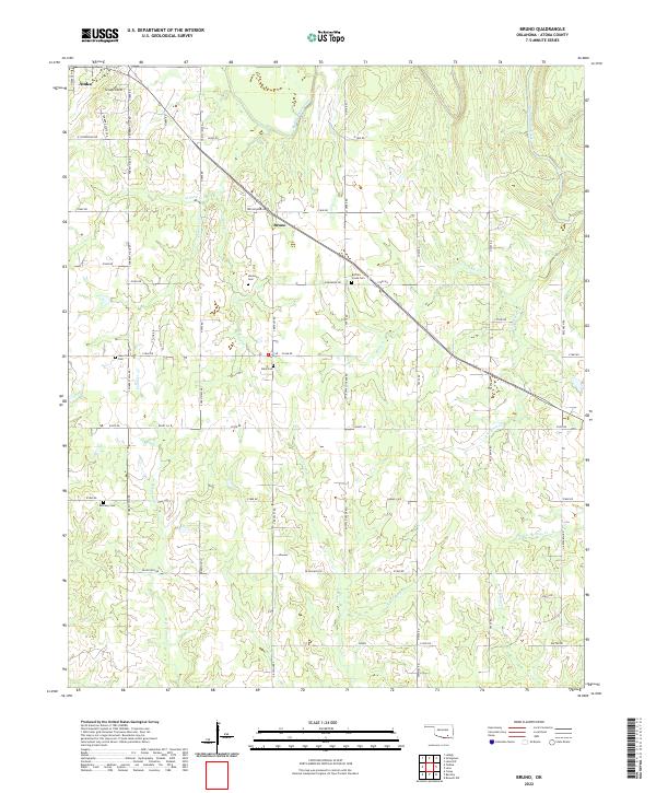
2022 Bruno
Atoka County, OK
2022 Caddo North
Atoka County, OK
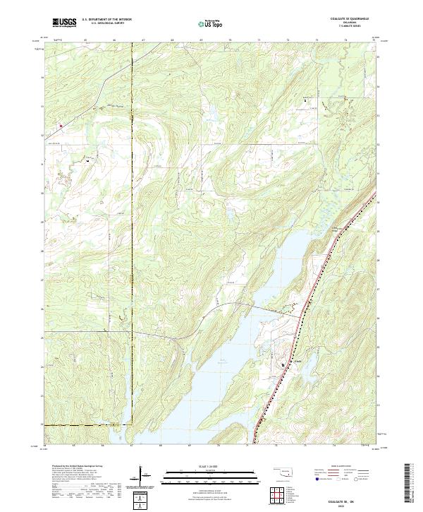
2022 Coalgate SE
Atoka County, OK
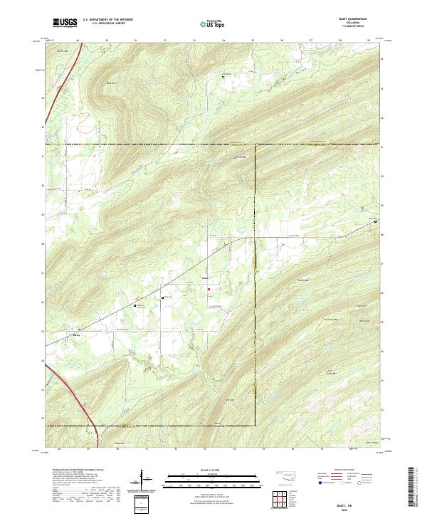
2022 Daisy
Atoka County, OK
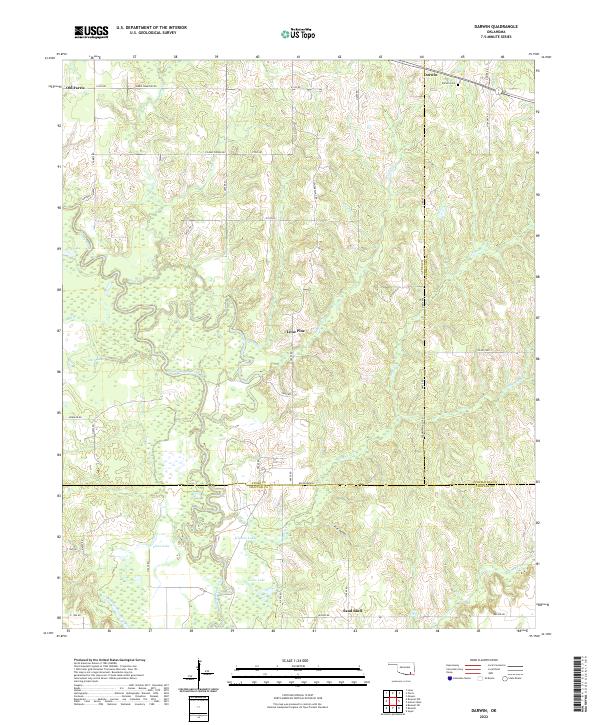
2022 Darwin
Atoka County, OK
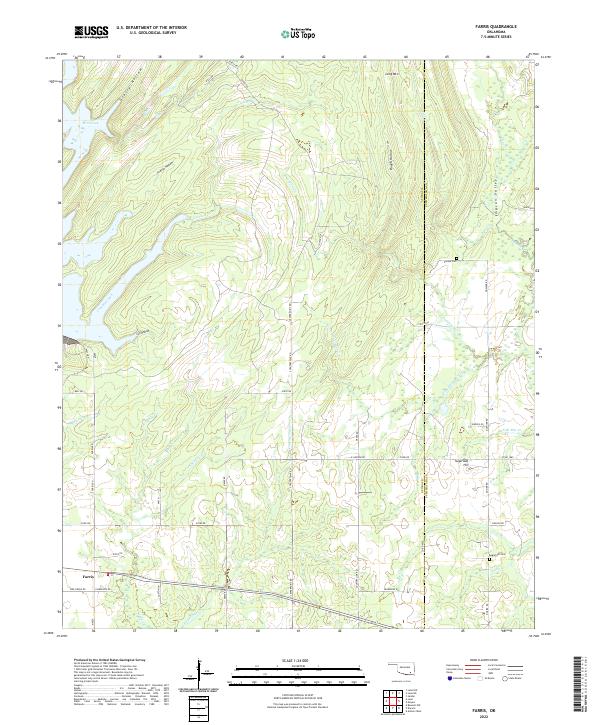
2022 Farris
Atoka County, OK
2022 Lane NE
Atoka County, OK
2022 Lane NW
Atoka County, OK
2022 Limestone Gap
Atoka County, OK
2022 Redden
Atoka County, OK