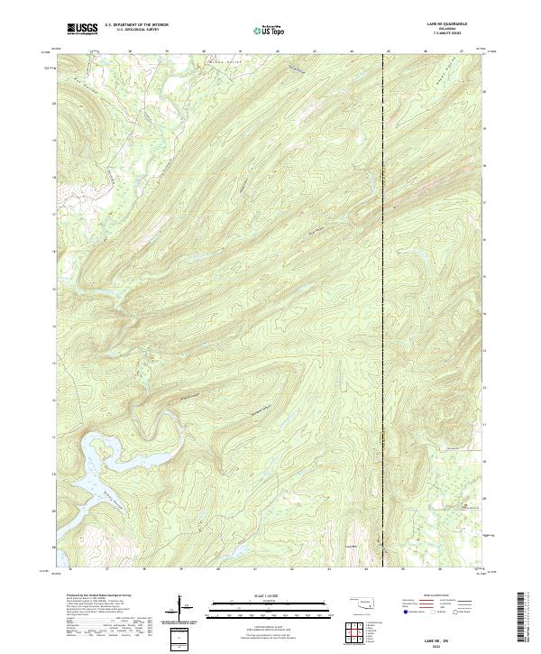
2022 Map of Lane NE
USGS Topo · Published 2022About this map
McGee Creek and its complex network of tributaries carve through the upland landscape of the Atoka and Pushmataha county border. This 2022 survey reveals a terrain defined by deep hollows and narrow canyons, including Bugaboo Canyon and Wildcat Canyon, which drain into the larger creek systems. The geography suggests a region of significant elevation change, anchored by Long Mtn in the south and the open McGee Valley to the north. Transportation in this part of Oklahoma is limited to rural routes such as Kelly Springs Rd and Greasy Bend Rd, reflecting the persistent remote character of the Choctaw Nation's traditional lands. The map details numerous named drainages like Tenmile Cr and Greasy Cr, providing a clear view of the hydrological patterns that have historically shaped local settlement and land use.
Find a feature on this map
37 named features on this map. Tap any name to fly to it.
Don’t see what you’re looking for? This feature index may not catch every label — zoom into the map to look around manually.
Map Details
Editions of this 2022 Lane NE Map
This is the sole edition of this map. No revisions or reprints were ever made.
Other maps of this area

1898 · McAlester
USGS Topo · 1:125,000

1901 · Antlers
USGS Topo · 1:125,000

1909 · Mc Alester
USGS Topo · 1:125,000

1912 · Antlers
USGS Topo · 1:125,000

1925 · Antlers
USGS Topo · 1:125,000

1950 · Mcalester
USGS Topo · 1:250,000

1957 · Lane NW
USGS Topo · 1:24,000

1957 · Farris
USGS Topo · 1:24,000

1957 · Moyers
USGS Topo · 1:24,000

1957 · Jumbo
USGS Topo · 1:24,000