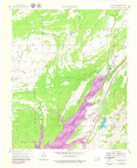
1957 Map of Coalgate SE
USGS Topo · Published 1979About this map
Atoka Reservoir dominates the landscape of this Oklahoma survey, illustrating the significant hydraulic engineering and land management occurring along the North Boggy Creek corridor in the late 1950s. The reservoir's inundation area, shown with detailed revisions from the 1970s, sits just west of Limestone Ridge. This region in the Coal and Atoka County borderlands reveals a mix of correctional agriculture and conservation, notably the State Honor Farm and the Atoka State Game Refuge which borders Sub-Penitentiary Lake. Evidence of earlier rural life persists in the placement of the Cairo Cem and Bethany Ch. The transportation infrastructure is anchored by the Missouri Kansas Texas line, which skirts the eastern edge of the reservoir basin near the small settlement of Flora.
Find a feature on this map
23 named features on this map. Tap any name to fly to it.
Don’t see what you’re looking for? This feature index may not catch every label — zoom into the map to look around manually.
Map Details
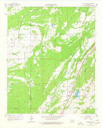
Editions of this 1957 Coalgate SE Map
3 editions found

Other maps of this area

1896 · Coalgate
USGS Topo · 1:125,000

1898 · McAlester
USGS Topo · 1:125,000

1899 · Coalgate
USGS Topo · 1:125,000

1899 · Atoka
USGS Topo · 1:125,000

1900 · Atoka
USGS Topo · 1:125,000

1900 · Coalgate
USGS Topo · 1:125,000

1901 · Antlers
USGS Topo · 1:125,000

1909 · Mc Alester
USGS Topo · 1:125,000

1912 · Antlers
USGS Topo · 1:125,000

1925 · Antlers
USGS Topo · 1:125,000