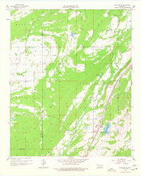
1957 Map of Coalgate SE
USGS Topo · Published 1978About this map
Limestone Ridge cuts a sharp northeast-southwest line through this Oklahoma landscape, creating a dramatic topographical divider for the surrounding watercourses. Along its eastern base, the Missouri Kansas Texas railroad parallels the ridge, connecting small locales like Flora and Chilly. This corridor is defined by institutional land use, most notably the State Honor Farm and the Atoka State Game Refuge, which occupy significant acreage in the southeastern quadrant. The drainage pattern is complex, with North Boggy Creek and Elm Creek winding through the lowlands, supported by smaller bodies of water such as Sub-Penitentiary Lake and Troly Lake. Local history is anchored by sites like Bethany Ch and the Cairo Cem to the west, while the border between Haskell and Hanraty townships marks the local administrative boundaries of the late 1950s.
Find a feature on this map
27 named features on this map. Tap any name to fly to it.
Don’t see what you’re looking for? This feature index may not catch every label — zoom into the map to look around manually.
Map Details
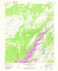
Editions of this 1957 Coalgate SE Map
3 editions found

Other maps of this area

1896 · Coalgate
USGS Topo · 1:125,000

1898 · McAlester
USGS Topo · 1:125,000

1899 · Coalgate
USGS Topo · 1:125,000

1899 · Atoka
USGS Topo · 1:125,000

1900 · Atoka
USGS Topo · 1:125,000

1900 · Coalgate
USGS Topo · 1:125,000

1901 · Antlers
USGS Topo · 1:125,000

1909 · Mc Alester
USGS Topo · 1:125,000

1912 · Antlers
USGS Topo · 1:125,000

1925 · Antlers
USGS Topo · 1:125,000