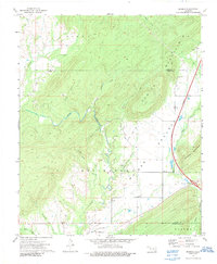
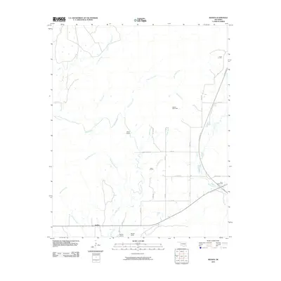
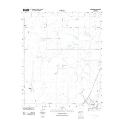
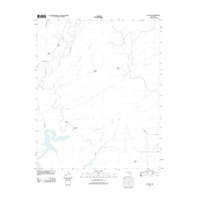
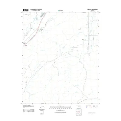
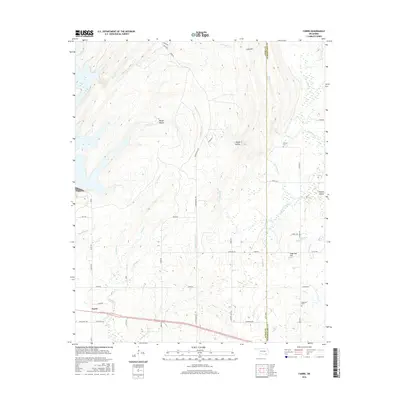
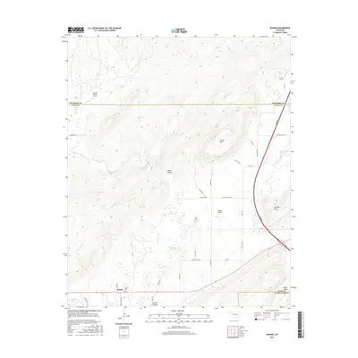
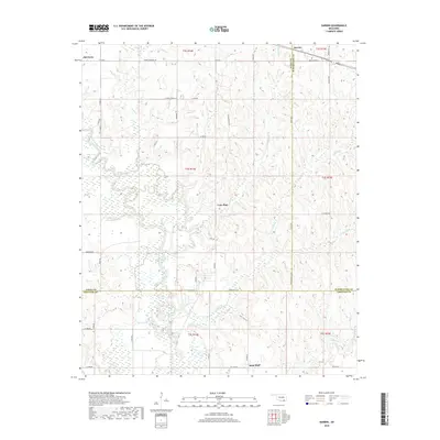
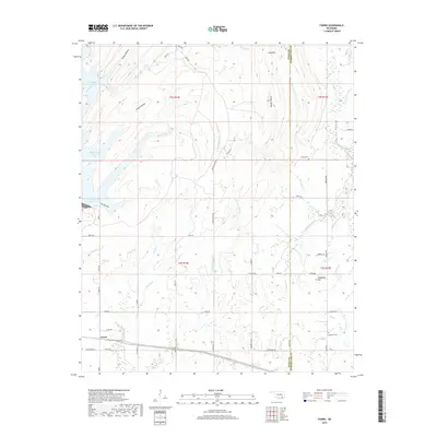
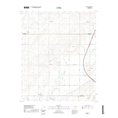
1973 Map of Daisy
USGS Topo · Published 1991About this map
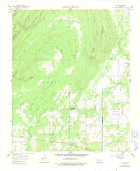
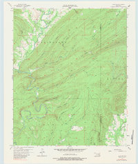
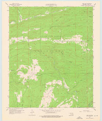
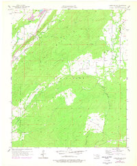
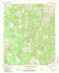
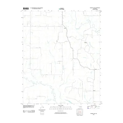
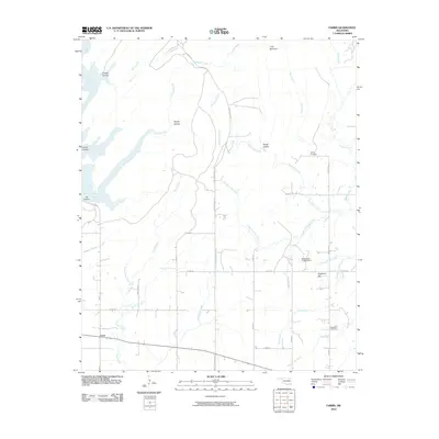
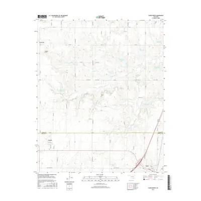
The settlement of Daisy and the surrounding Jackfork Mountains are defined by a complex network of ridgelines and creek valleys at the intersection of Atoka, Pittsburg, and Pushmataha Counties. This 1973 record shows a landscape of small rural settlements like Goss and numerous family or community burial grounds, including Billy Cem, Vivian Cem, and Mountain Home Cem. The arrival of the Indian Nation Toll Road creates a modern north-south corridor through the western portion of the quadrangle, contrasting with the winding traditional paths that follow Fobb Creek and Buck Creek. The terrain is dominated by prominent elevations such as Bald Mountain and Big Caney Mountain, while localized landmarks like a Landing Strip and Drill Holes suggest the area's mix of remote utility and resource exploration in the early 1970s.
Find a feature on this map
41 named features on this map. Tap any name to fly to it.
Don’t see what you’re looking for? This feature index may not catch every label — zoom into the map to look around manually.
Map Details
Editions of this 1973 Daisy Map
2 editions found
Historical Maps of Daisy Through Time
72 maps found
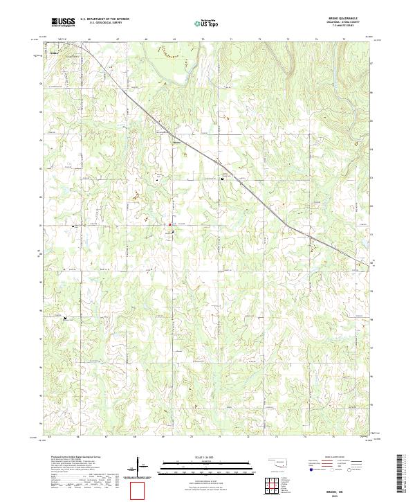
1957 Bruno
Atoka County, OK
1957 Coalgate SE
Atoka County, OK
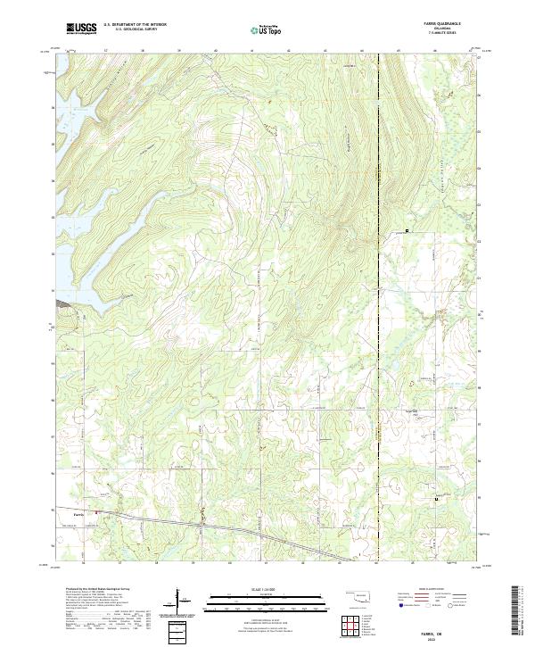
1957 Farris
Atoka County, OK
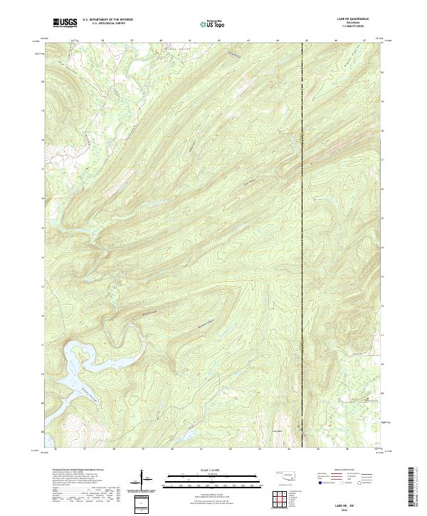
1957 Lane NE
Atoka County, OK
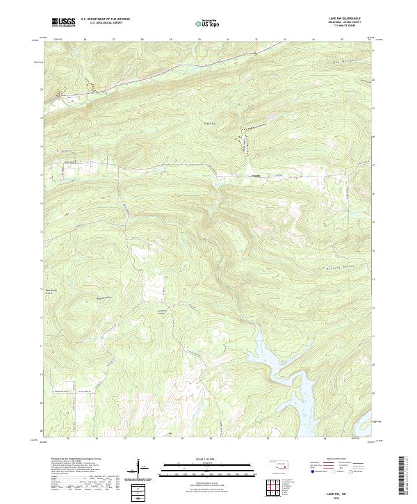
1957 Lane NW
Atoka County, OK
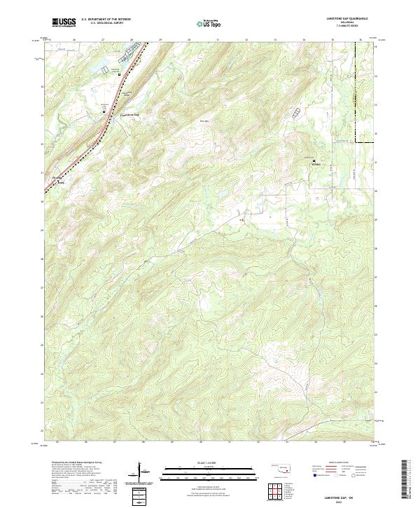
1957 Limestone Gap
Atoka County, OK
1961 Darwin
Atoka County, OK
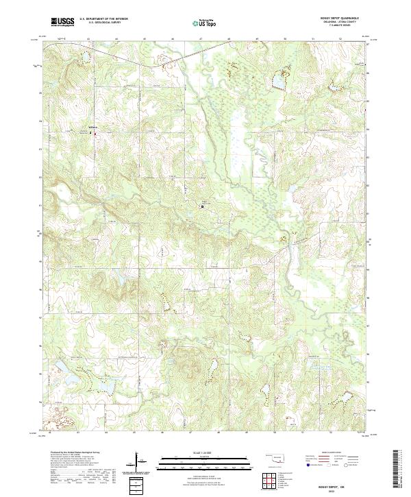
1969 Boggy Depot
Atoka County, OK
1969 Boswell NW
Atoka County, OK
1969 Caddo North
Atoka County, OK
1973 Daisy
Atoka County, OK
1973 Redden
Atoka County, OK
2009 Daisy
Atoka County, OK
2009 Darwin
Atoka County, OK
2010 Boggy Depot
Atoka County, OK
2010 Boswell NW
Atoka County, OK
2010 Bruno
Atoka County, OK
2010 Caddo North
Atoka County, OK
2010 Coalgate SE
Atoka County, OK
2010 Farris
Atoka County, OK
2010 Lane NE
Atoka County, OK
2010 Lane NW
Atoka County, OK
2010 Limestone Gap
Atoka County, OK
2010 Redden
Atoka County, OK
2012 Boggy Depot
Atoka County, OK
2012 Boswell NW
Atoka County, OK
2012 Bruno
Atoka County, OK
2012 Caddo North
Atoka County, OK
2012 Coalgate SE
Atoka County, OK
2012 Daisy
Atoka County, OK
2012 Darwin
Atoka County, OK
2012 Lane NE
Atoka County, OK
2012 Lane NW
Atoka County, OK
2012 Redden
Atoka County, OK
2013 Farris
Atoka County, OK
2013 Limestone Gap
Atoka County, OK
2016 Boggy Depot
Atoka County, OK
2016 Boswell NW
Atoka County, OK
2016 Bruno
Atoka County, OK
2016 Caddo North
Atoka County, OK
2016 Coalgate SE
Atoka County, OK
2016 Daisy
Atoka County, OK
2016 Darwin
Atoka County, OK
2016 Farris
Atoka County, OK
2016 Lane NE
Atoka County, OK
2016 Lane NW
Atoka County, OK
2016 Limestone Gap
Atoka County, OK
2016 Redden
Atoka County, OK
2018 Boggy Depot
Atoka County, OK
2018 Boswell NW
Atoka County, OK
2018 Caddo North
Atoka County, OK
2018 Darwin
Atoka County, OK
2019 Bruno
Atoka County, OK
2019 Coalgate SE
Atoka County, OK
2019 Daisy
Atoka County, OK
2019 Farris
Atoka County, OK
2019 Lane NE
Atoka County, OK
2019 Lane NW
Atoka County, OK
2019 Limestone Gap
Atoka County, OK
2019 Redden
Atoka County, OK
2022 Boggy Depot
Atoka County, OK
2022 Boswell NW
Atoka County, OK
2022 Bruno
Atoka County, OK
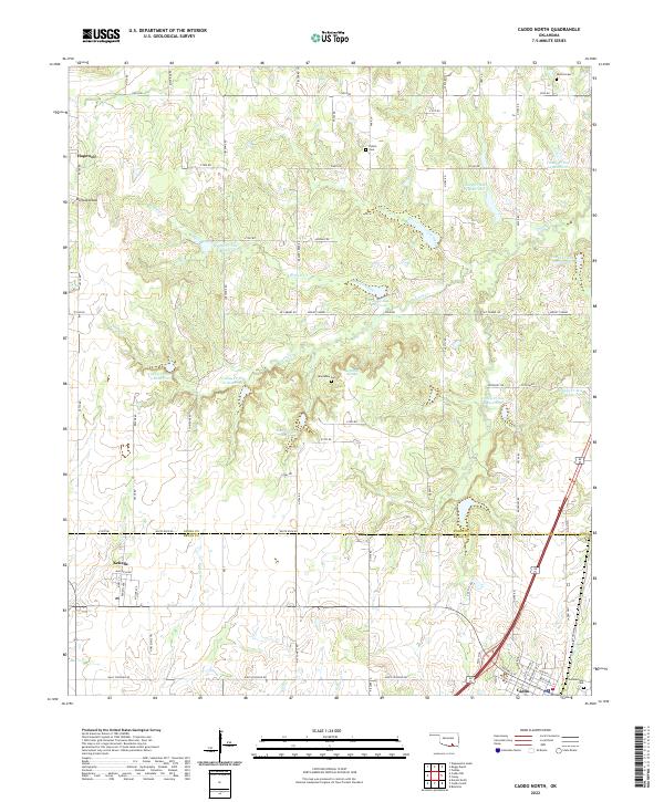
2022 Caddo North
Atoka County, OK
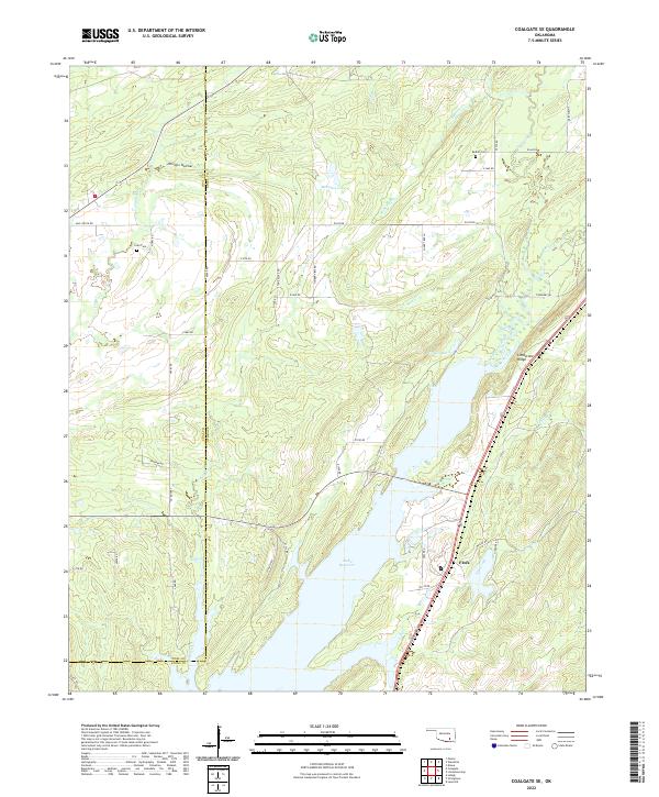
2022 Coalgate SE
Atoka County, OK
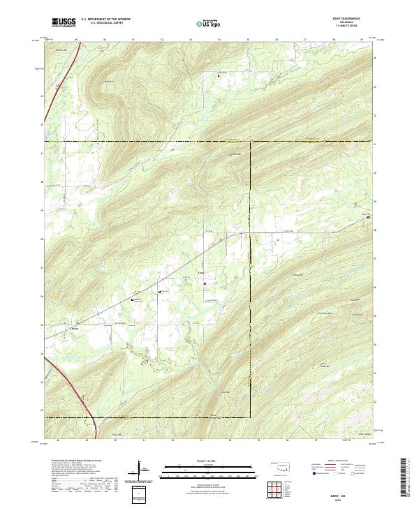
2022 Daisy
Atoka County, OK
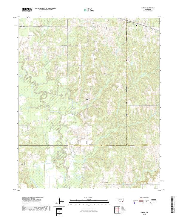
2022 Darwin
Atoka County, OK
2022 Farris
Atoka County, OK
2022 Lane NE
Atoka County, OK
2022 Lane NW
Atoka County, OK
2022 Limestone Gap
Atoka County, OK
2022 Redden
Atoka County, OK