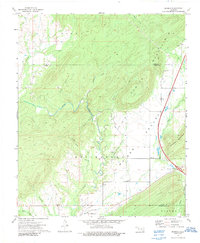
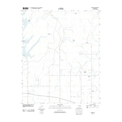
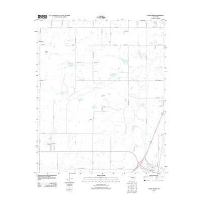
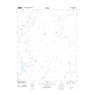
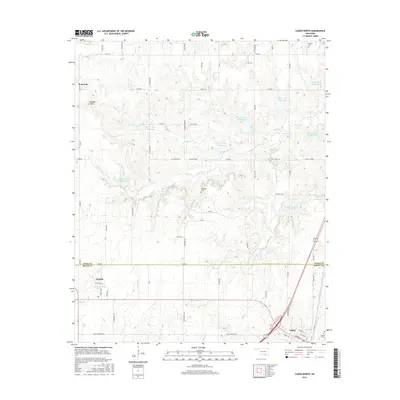
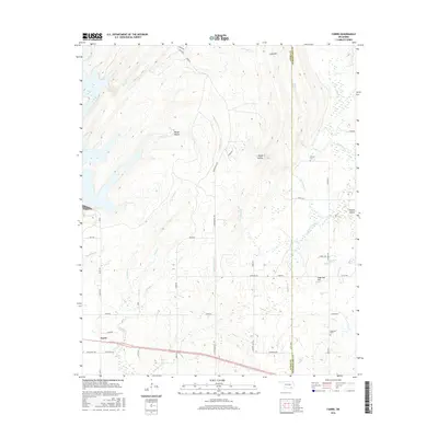
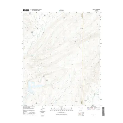
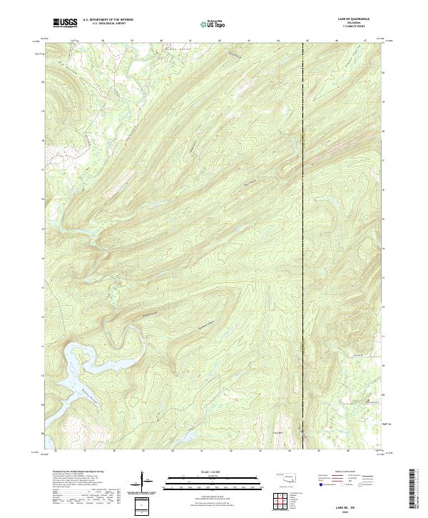
2022 Map of Lane NW
USGS Topo · Published 2022About this map
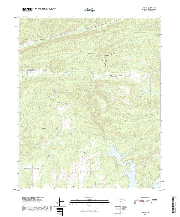
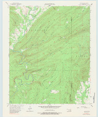
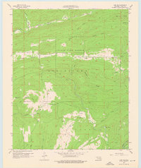
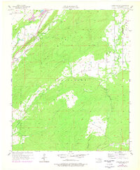
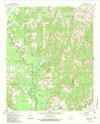
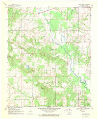
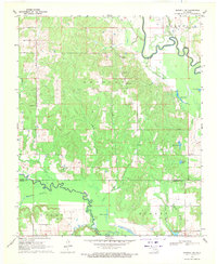
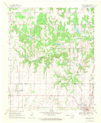
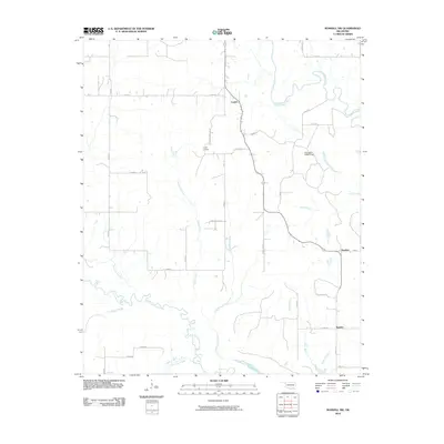
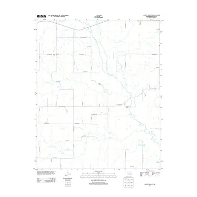
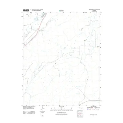
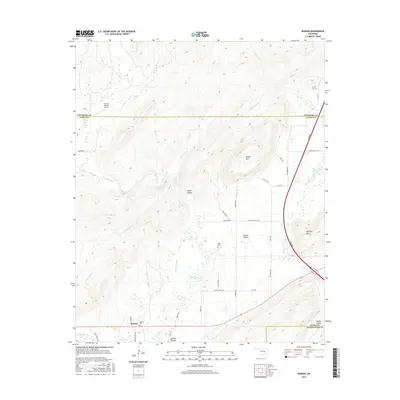
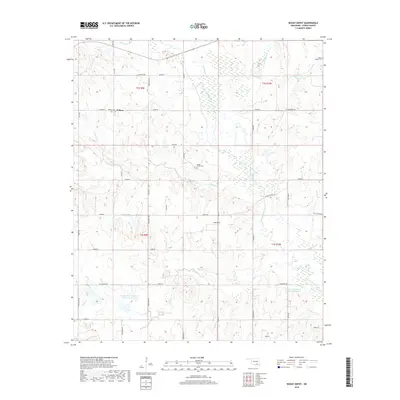
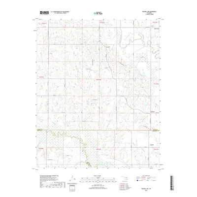
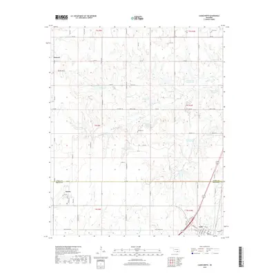
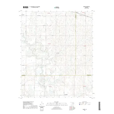
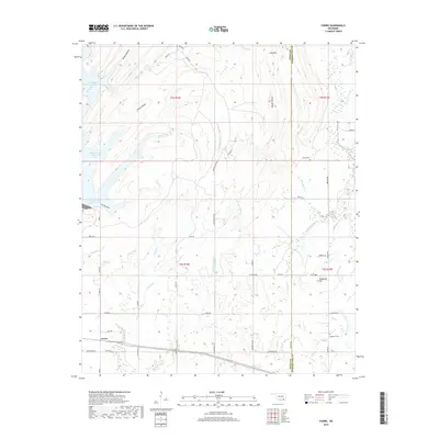
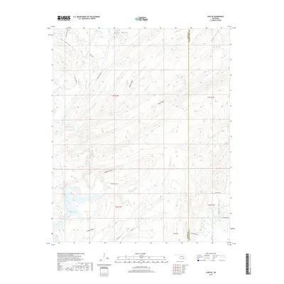
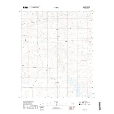
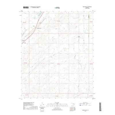
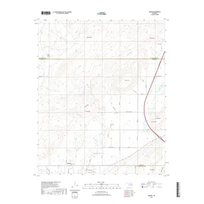
Fugate sits at a crossroads in northern Atoka County, surrounded by a landscape defined by its expansive prairies and deep drainage hollows. The terrain transitions from the open stretches of West Windy Prairie and Hiawana Prairie to a complex network of creeks that feed into larger waterways. Significant drainage systems like Potapo Creek, which flows through the eastern portion of the map, and its tributary Potapo Cr, carve out distinctive landforms such as Peacock Hollow and Kennedy Hollow. The presence of numerous named hollows—including Wildcat Hollow and Ray Hollow—suggests a deeply dissected topography where local life followed the breaks in the land. This 2022 survey captures the modern road network, including Greasy Bend Rd and McGee Creek Rd, which navigate the rises of Hickory Flat and connect the scattered residences of this rural Oklahoma landscape.
Find a feature on this map
48 named features on this map. Tap any name to fly to it.
Don’t see what you’re looking for? This feature index may not catch every label — zoom into the map to look around manually.
Map Details
Editions of this 2022 Lane NW Map
This is the sole edition of this map. No revisions or reprints were ever made.
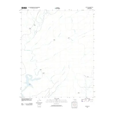
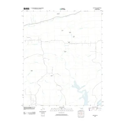
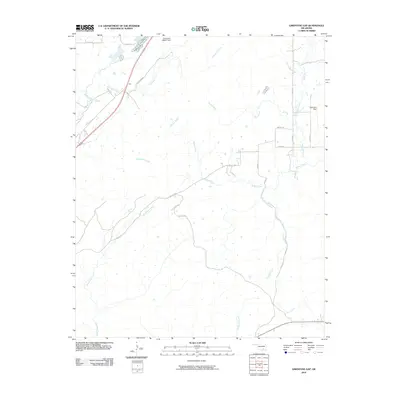
Historical Maps of Fugate Through Time
72 maps found
1957 Bruno
Atoka County, OK
1957 Coalgate SE
Atoka County, OK
1957 Farris
Atoka County, OK
1957 Lane NE
Atoka County, OK
1957 Lane NW
Atoka County, OK
1957 Limestone Gap
Atoka County, OK
1961 Darwin
Atoka County, OK
1969 Boggy Depot
Atoka County, OK
1969 Boswell NW
Atoka County, OK
1969 Caddo North
Atoka County, OK
1973 Daisy
Atoka County, OK
1973 Redden
Atoka County, OK
2009 Daisy
Atoka County, OK
2009 Darwin
Atoka County, OK
2010 Boggy Depot
Atoka County, OK
2010 Boswell NW
Atoka County, OK
2010 Bruno
Atoka County, OK
2010 Caddo North
Atoka County, OK
2010 Coalgate SE
Atoka County, OK
2010 Farris
Atoka County, OK
2010 Lane NE
Atoka County, OK
2010 Lane NW
Atoka County, OK
2010 Limestone Gap
Atoka County, OK
2010 Redden
Atoka County, OK
2012 Boggy Depot
Atoka County, OK
2012 Boswell NW
Atoka County, OK
2012 Bruno
Atoka County, OK
2012 Caddo North
Atoka County, OK
2012 Coalgate SE
Atoka County, OK
2012 Daisy
Atoka County, OK
2012 Darwin
Atoka County, OK
2012 Lane NE
Atoka County, OK
2012 Lane NW
Atoka County, OK
2012 Redden
Atoka County, OK
2013 Farris
Atoka County, OK
2013 Limestone Gap
Atoka County, OK
2016 Boggy Depot
Atoka County, OK
2016 Boswell NW
Atoka County, OK
2016 Bruno
Atoka County, OK
2016 Caddo North
Atoka County, OK
2016 Coalgate SE
Atoka County, OK
2016 Daisy
Atoka County, OK
2016 Darwin
Atoka County, OK
2016 Farris
Atoka County, OK
2016 Lane NE
Atoka County, OK
2016 Lane NW
Atoka County, OK
2016 Limestone Gap
Atoka County, OK
2016 Redden
Atoka County, OK
2018 Boggy Depot
Atoka County, OK
2018 Boswell NW
Atoka County, OK
2018 Caddo North
Atoka County, OK
2018 Darwin
Atoka County, OK
2019 Bruno
Atoka County, OK
2019 Coalgate SE
Atoka County, OK
2019 Daisy
Atoka County, OK
2019 Farris
Atoka County, OK
2019 Lane NE
Atoka County, OK
2019 Lane NW
Atoka County, OK
2019 Limestone Gap
Atoka County, OK
2019 Redden
Atoka County, OK
2022 Boggy Depot
Atoka County, OK
2022 Boswell NW
Atoka County, OK
2022 Bruno
Atoka County, OK
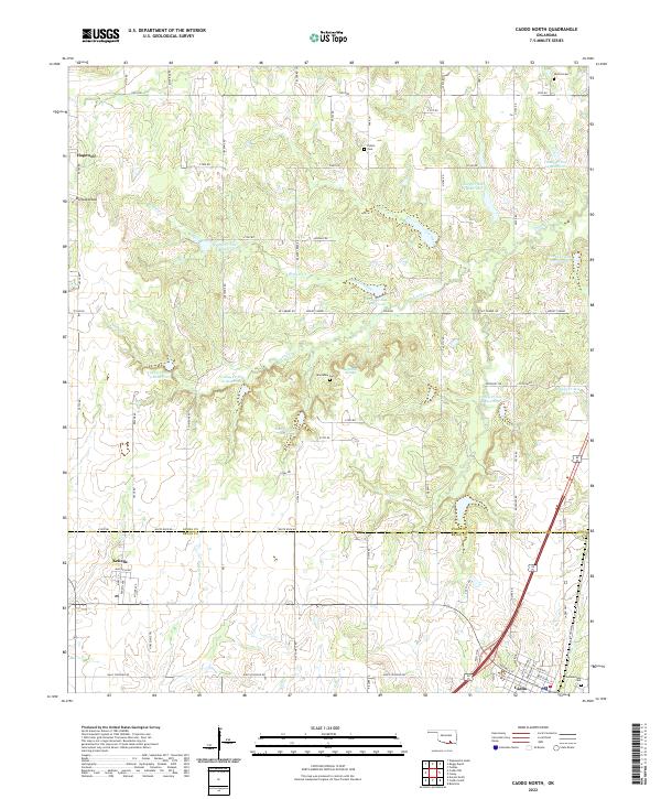
2022 Caddo North
Atoka County, OK
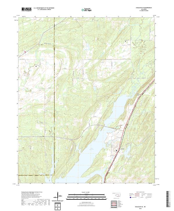
2022 Coalgate SE
Atoka County, OK
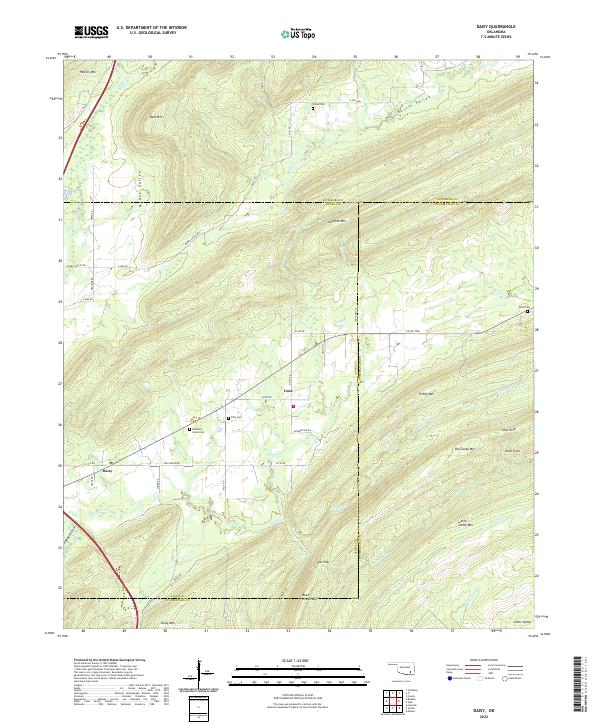
2022 Daisy
Atoka County, OK
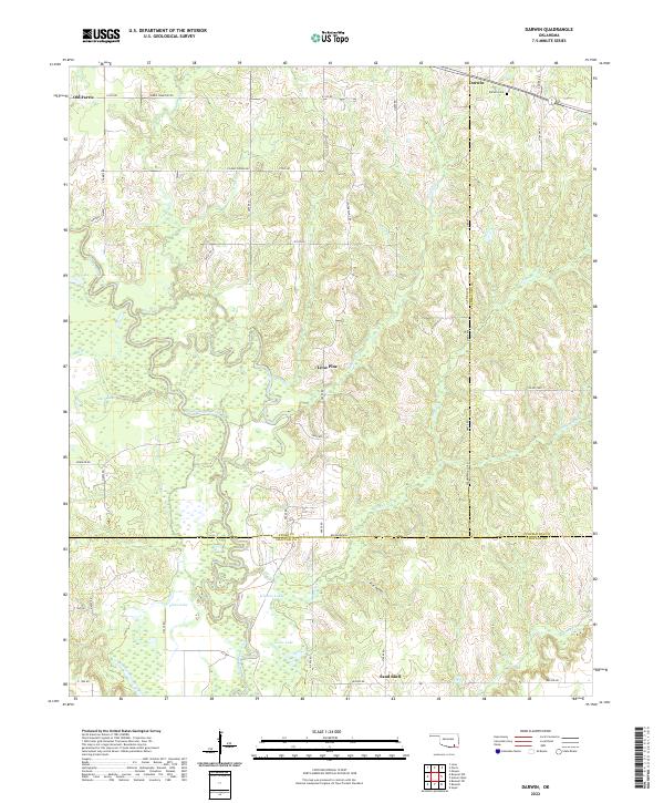
2022 Darwin
Atoka County, OK
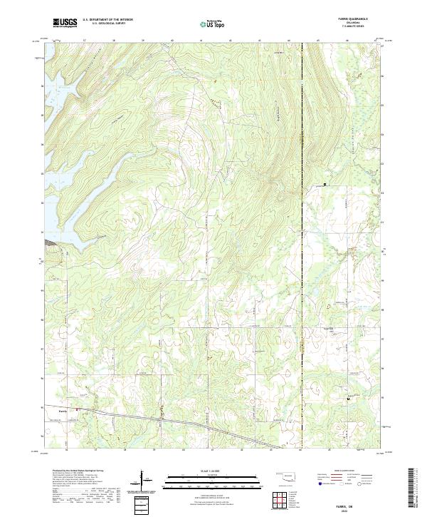
2022 Farris
Atoka County, OK
2022 Lane NE
Atoka County, OK
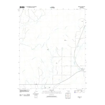
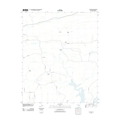
2022 Lane NW
Atoka County, OK
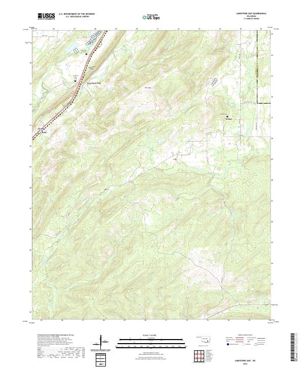
2022 Limestone Gap
Atoka County, OK
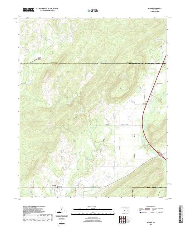
2022 Redden
Atoka County, OK