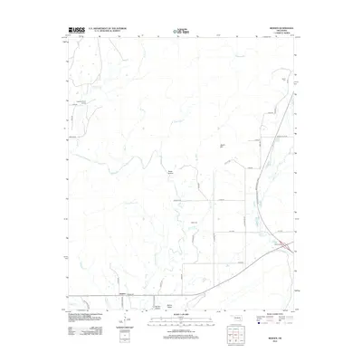
2012 Map of Redden
USGS Topo · Published 2012About this map
The settlement of Redden serves as the focal point for this rural Oklahoma landscape, situated in the southern reaches where the road network transitions into the hills. The area's history is anchored by family-named landmarks and essential community sites such as Redden Cem, Baker Cem, and Hewitt Cem, which reflect the generations of families that have farmed these valleys. Transport through the region is defined by the modern corridor of the Indian Nation Tpke, which cuts through the eastern terrain near the Daisy Interchange. The topography is shaped by significant water systems including McGee Cr and Buck Cr, carving through areas like McGee Valley and beneath the heights of Hewitt Mtn. Notable for its mixture of aviation and agriculture, the Cochran Ranch Airport sits in the northwest, punctuating a landscape otherwise characterized by narrow creek branches and hollows.
Find a feature on this map
48 named features on this map. Tap any name to fly to it.
Don’t see what you’re looking for? This feature index may not catch every label — zoom into the map to look around manually.
Map Details
Editions of this 2012 Redden Map
This is the sole edition of this map. No revisions or reprints were ever made.
Other maps of this area

1898 · McAlester
USGS Topo · 1:125,000

1901 · Antlers
USGS Topo · 1:125,000

1909 · Mc Alester
USGS Topo · 1:125,000

1912 · Antlers
USGS Topo · 1:125,000

1925 · Antlers
USGS Topo · 1:125,000

1950 · Mcalester
USGS Topo · 1:250,000

1957 · Lane NW
USGS Topo · 1:24,000

1957 · Jumbo
USGS Topo · 1:24,000

1957 · Lane NE
USGS Topo · 1:24,000

1957 · Limestone Gap
USGS Topo · 1:24,000