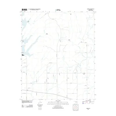
2013 Map of Farris
USGS Topo · Published 2013About this map
Farris serves as the primary settlement hub in this part of Atoka County, situated among a network of rural roads and creek drainages. The landscape is defined by its water system, where McGee Cr and Tenmile Cr carve through terrain marked by landmarks such as Sugarloaf Hill and Long Mtn. For genealogists and local historians, the area preserves family and community history through sites like Sugarloaf Cem and Zoraya Cem. The map illustrates a transition between the open spaces of Prairie Hollow and the more dissected topography of Rough Hollow, all interconnected by a grid of numbered and named routes including S Farris Rd and E Sain Rd. These roads provide access to the various branches and creeks, such as Cold Springs Cr and Medicine Br, that have historically shaped the settlement patterns of this Oklahoma region.
Find a feature on this map
54 named features on this map. Tap any name to fly to it.
Don’t see what you’re looking for? This feature index may not catch every label — zoom into the map to look around manually.
Map Details
Editions of this 2013 Farris Map
This is the sole edition of this map. No revisions or reprints were ever made.
Other maps of this area

1901 · Antlers
USGS Topo · 1:125,000

1912 · Antlers
USGS Topo · 1:125,000

1925 · Antlers
USGS Topo · 1:125,000

1950 · Mcalester
USGS Topo · 1:250,000

1957 · Lane NW
USGS Topo · 1:24,000

1957 · Farris
USGS Topo · 1:24,000

1957 · Moyers
USGS Topo · 1:24,000

1957 · Jumbo
USGS Topo · 1:24,000

1957 · Lane
USGS Topo · 1:24,000

1957 · Lane NE
USGS Topo · 1:24,000