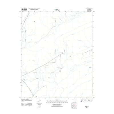
2012 Map of Daisy
USGS Topo · Published 2012About this map
Daisy and the nearby settlement of Goss anchor this corner of Atoka County, where the landscape transitions into the high ground of Bald Mtn and Daisy Mtn. The region is defined by a dense network of watercourses, including the westward flow of Buck Cr and Clear Cr, alongside smaller tributaries like Fobb Cr and Jackfork Cr. For genealogists, the presence of several family or community burial sites, such as Billy Cem, Vivian Cem, and Bond Cem, provides critical points for locating ancestral homesteads in this rural Oklahoma territory.
Find a feature on this map
51 named features on this map. Tap any name to fly to it.
Don’t see what you’re looking for? This feature index may not catch every label — zoom into the map to look around manually.
Map Details
Editions of this 2012 Daisy Map
This is the sole edition of this map. No revisions or reprints were ever made.
Other maps of this area

1898 · McAlester
USGS Topo · 1:125,000

1901 · Antlers
USGS Topo · 1:125,000

1909 · Mc Alester
USGS Topo · 1:125,000

1912 · Antlers
USGS Topo · 1:125,000

1925 · Antlers
USGS Topo · 1:125,000

1950 · Mcalester
USGS Topo · 1:250,000

1957 · Jumbo
USGS Topo · 1:24,000

1957 · Lane NE
USGS Topo · 1:24,000

1962 · McAlester
USGS Topo · 1:250,000

1965 · McAlester
USGS Topo · 1:250,000