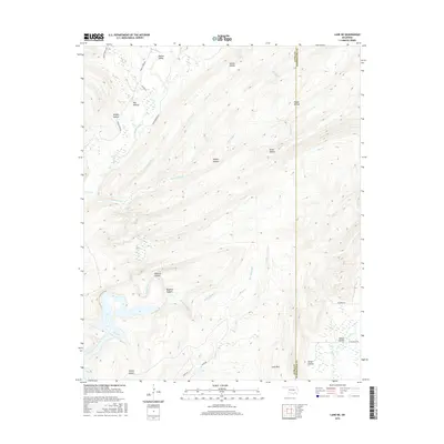
2016 Map of Lane NE
USGS Topo · Published 2016About this map
McGee Valley sits at the northern edge of this terrain, where the boundary between Atoka and Pushmataha counties follows the high ridges. The landscape is defined by a dense network of drainages and named hollows, including the curiously titled Whisky Hollow and Hoppy Hollow. Moving south, the topography grows more complex around Wildcat Canyon and Bugaboo Canyon, which feed into the broader McGee Creek system. This area, largely defined by its creek-bottoms and ridges like Long Mtn, shows a sparse settlement pattern connected by rural routes such as Greasy Bend Rd and D4050 Rd. In the southeast, Impson Valley provides a pocket of flatter terrain near the Leyba Ranch RD, suggesting a localized pocket of agricultural activity or ranching amidst the surrounding timbered hills.
Find a feature on this map
34 named features on this map. Tap any name to fly to it.
Don’t see what you’re looking for? This feature index may not catch every label — zoom into the map to look around manually.
Map Details
Editions of this 2016 Lane NE Map
This is the sole edition of this map. No revisions or reprints were ever made.
Other maps of this area

1898 · McAlester
USGS Topo · 1:125,000

1901 · Antlers
USGS Topo · 1:125,000

1909 · Mc Alester
USGS Topo · 1:125,000

1912 · Antlers
USGS Topo · 1:125,000

1925 · Antlers
USGS Topo · 1:125,000

1950 · Mcalester
USGS Topo · 1:250,000

1957 · Lane NW
USGS Topo · 1:24,000

1957 · Farris
USGS Topo · 1:24,000

1957 · Moyers
USGS Topo · 1:24,000

1957 · Jumbo
USGS Topo · 1:24,000