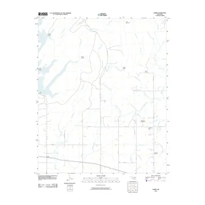
2010 Map of Farris
USGS Topo · Published 2010About this map
Farris sits as the primary settlement in this corner of Atoka County, serving as a focal point for a landscape defined by an intricate network of waterways and timbered ridges. To the north, McGee Creek and Crooked Creek carve through the terrain, creating distinct geographic markers such as Rough Hollow and Grassy Hollow. The land rises toward the east at Long Mountain, while the southern reaches are marked by the notable elevations of Sugarloaf Hill.
Find a feature on this map
44 named features on this map. Tap any name to fly to it.
Don’t see what you’re looking for? This feature index may not catch every label — zoom into the map to look around manually.
Map Details
Editions of this 2010 Farris Map
This is the sole edition of this map. No revisions or reprints were ever made.
Other maps of this area

1901 · Antlers
USGS Topo · 1:125,000

1912 · Antlers
USGS Topo · 1:125,000

1925 · Antlers
USGS Topo · 1:125,000

1950 · Mcalester
USGS Topo · 1:250,000

1957 · Lane NW
USGS Topo · 1:24,000

1957 · Farris
USGS Topo · 1:24,000

1957 · Moyers
USGS Topo · 1:24,000

1957 · Jumbo
USGS Topo · 1:24,000

1957 · Lane
USGS Topo · 1:24,000

1957 · Lane NE
USGS Topo · 1:24,000