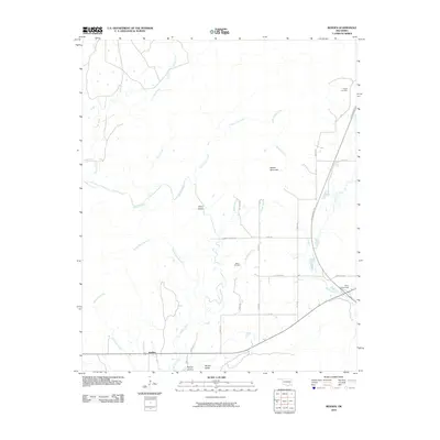
2010 Map of Redden
USGS Topo · Published 2010About this map
Redden stands at the southern edge of this landscape, where the rural topography of southeastern Oklahoma transitions into the broad drainage basins of McGee Creek and Prairie Creek. The area is characterized by family-named landmarks and small-scale infrastructure, including Hewitt Mountain and the secluded McGee Valley. Transportation corridors like the Indian Nation Tpke and the Daisy Interchange cut through the terrain, contrasting with the established network of section roads such as Pleasant Valley Rd and Old Daisy Rd. Genealogists will find interest in the documented burial sites at Hewitt Cemetery and Baker Cemetery, which anchor the local history of the surrounding valleys. The winding paths of Little Caney Creek and its many branches, including Baker Branch and Baxter Branch, illustrate the complex hydrology that historically shaped settlement patterns and land use in this pocket of Atoka County.
Find a feature on this map
32 named features on this map. Tap any name to fly to it.
Don’t see what you’re looking for? This feature index may not catch every label — zoom into the map to look around manually.
Map Details
Editions of this 2010 Redden Map
This is the sole edition of this map. No revisions or reprints were ever made.
Other maps of this area

1898 · McAlester
USGS Topo · 1:125,000

1901 · Antlers
USGS Topo · 1:125,000

1909 · Mc Alester
USGS Topo · 1:125,000

1912 · Antlers
USGS Topo · 1:125,000

1925 · Antlers
USGS Topo · 1:125,000

1950 · Mcalester
USGS Topo · 1:250,000

1957 · Lane NW
USGS Topo · 1:24,000

1957 · Jumbo
USGS Topo · 1:24,000

1957 · Lane NE
USGS Topo · 1:24,000

1957 · Limestone Gap
USGS Topo · 1:24,000