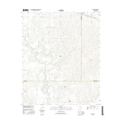
2016 Map of Darwin
USGS Topo · Published 2016About this map
Darwin is situated in the northeastern corner of this 2016 survey, serving as a focal point near the intersection of State Hwy 7 and the Darwin Cem. The landscape is defined by the winding course of Muddy Boggy Creek, which creates a complex network of wetlands and oxbow formations including Allen Lake, Clear Lake, and Louie Lake. This hydrologic pattern suggests a low-lying, flood-prone basin that has historically shaped the placement of roads and homesteads.
Find a feature on this map
52 named features on this map. Tap any name to fly to it.
Don’t see what you’re looking for? This feature index may not catch every label — zoom into the map to look around manually.
Map Details
Editions of this 2016 Darwin Map
This is the sole edition of this map. No revisions or reprints were ever made.
Other maps of this area

1901 · Antlers
USGS Topo · 1:125,000

1912 · Antlers
USGS Topo · 1:125,000

1925 · Antlers
USGS Topo · 1:125,000

1950 · Mcalester
USGS Topo · 1:250,000

1957 · Farris
USGS Topo · 1:24,000

1957 · Moyers
USGS Topo · 1:24,000

1957 · Lane
USGS Topo · 1:24,000
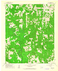
1961 · Darwin
USGS Topo · 1:24,000

1961 · Antlers West
USGS Topo · 1:24,000

1962 · McAlester
USGS Topo · 1:250,000