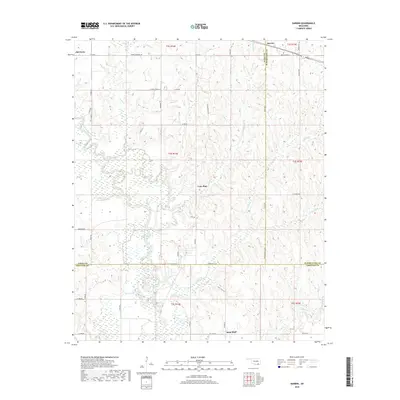
2018 Map of Darwin
USGS Topo · Published 2018About this map
Muddy Boggy Creek and its many tributaries, including Sandy Cr and Potubbi Cr, define the drainage patterns of this borderland where Atoka, Pushmataha, and Choctaw Counties meet. The landscape is dotted with small settlements like Darwin and Old Farris, which serve as quiet hubs for the surrounding rural road network. Local heritage is grounded in sites like the Darwin Cem and Farris Cem, while family-named landmarks like Allen Lake, Louie Lake, and Hopena Lake suggest a long history of local land use. To the south, Sand Bluff sits near the winding course of the creek, while Pine Hollow and Lone Pine mark the area's timbered character. The 2018 survey documents a region defined by its water—from the wide bends of the creek to the distinct basins of Dry Lake and Lamey Slash.
Find a feature on this map
54 named features on this map. Tap any name to fly to it.
Don’t see what you’re looking for? This feature index may not catch every label — zoom into the map to look around manually.
Map Details
Editions of this 2018 Darwin Map
This is the sole edition of this map. No revisions or reprints were ever made.
Other maps of this area

1901 · Antlers
USGS Topo · 1:125,000

1912 · Antlers
USGS Topo · 1:125,000

1925 · Antlers
USGS Topo · 1:125,000

1950 · Mcalester
USGS Topo · 1:250,000

1957 · Farris
USGS Topo · 1:24,000

1957 · Moyers
USGS Topo · 1:24,000

1957 · Lane
USGS Topo · 1:24,000
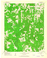
1961 · Darwin
USGS Topo · 1:24,000

1961 · Antlers West
USGS Topo · 1:24,000

1962 · McAlester
USGS Topo · 1:250,000