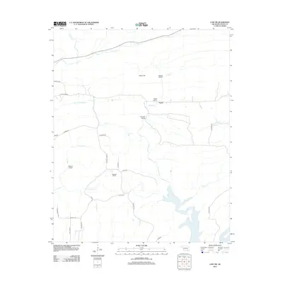
2012 Map of Lane NW
USGS Topo · Published 2012About this map
Fugate sits at the center of this rural Atoka County landscape, where the terrain is defined by a series of named hollows and expansive flats. The topography transitions from the broad level ground of Hickory Flat and Hiawana Prairie into the recessed drainages of Peacock Hollow, Cedar Hollow, and Kennedy Hollow. These landforms dictate the local road network, which follows the natural contours and ridge lines to connect isolated homesteads and ranch lands.
Find a feature on this map
36 named features on this map. Tap any name to fly to it.
Don’t see what you’re looking for? This feature index may not catch every label — zoom into the map to look around manually.
Map Details
Editions of this 2012 Lane NW Map
This is the sole edition of this map. No revisions or reprints were ever made.
Other maps of this area

1896 · Coalgate
USGS Topo · 1:125,000

1898 · McAlester
USGS Topo · 1:125,000

1899 · Coalgate
USGS Topo · 1:125,000

1899 · Atoka
USGS Topo · 1:125,000

1900 · Atoka
USGS Topo · 1:125,000

1900 · Coalgate
USGS Topo · 1:125,000

1901 · Antlers
USGS Topo · 1:125,000

1909 · Mc Alester
USGS Topo · 1:125,000

1912 · Antlers
USGS Topo · 1:125,000

1925 · Antlers
USGS Topo · 1:125,000