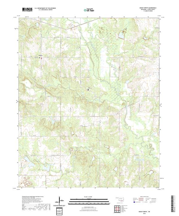
2022 Map of Boggy Depot
USGS Topo · Published 2022About this map
The settlement of Wilson anchors this Atoka County landscape where the lowlands are defined by the winding course of Clear Boggy Creek and its many tributaries. This terrain is marked by historical transit corridors such as the Butterfield Crossing Rd and the Overland Trl, reflecting the area's legacy as a passage through the Choctaw Nation territory. The presence of the Boggy Depot Cem near the center of the sheet points to the vanished site of Boggy Depot, once a vital 19th-century trade and political center.
Find a feature on this map
53 named features on this map. Tap any name to fly to it.
Don’t see what you’re looking for? This feature index may not catch every label — zoom into the map to look around manually.
Map Details
Editions of this 2022 Boggy Depot Map
This is the sole edition of this map. No revisions or reprints were ever made.
Other maps of this area

1899 · Atoka
USGS Topo · 1:125,000

1900 · Atoka
USGS Topo · 1:125,000

1957 · Lehigh
USGS Topo · 1:24,000

1957 · Ardmore
USGS Topo · 1:250,000

1963 · Ardmore
USGS Topo · 1:250,000
1968 · Wapanucka South
USGS Topo · 1:24,000

1968 · Caddo NW
USGS Topo · 1:24,000
1969 · Boggy Depot
USGS Topo · 1:24,000

1969 · Caddo North
USGS Topo · 1:24,000
1969 · Tushka
USGS Topo · 1:24,000