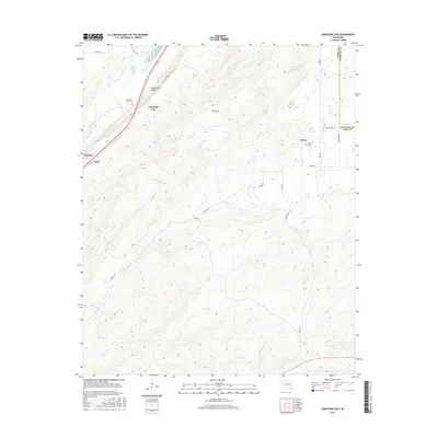
2016 Map of Limestone Gap
USGS Topo · Published 2016About this map
Limestone Ridge dominates the western landscape of this Atoka County region, creating the natural passage known as Limestone Gap. This terrain heavily influenced the early settlement patterns and transport corridors of the Choctaw Nation area, where small communities like Burg and Chockie developed along the base of the ridge. To the east, the topography transitions into more varied hills around Pine Mtn, drained by a dense network of waterways including Nolleytubby Cr and Breadtown Cr. The map preserves the locations of local landmarks such as the Limestone Gap Cem and Wesley Cem near the community of Wesley, offering a detailed view of rural Oklahoma life before major modern developments altered the character of these historic crossroads.
Find a feature on this map
31 named features on this map. Tap any name to fly to it.
Don’t see what you’re looking for? This feature index may not catch every label — zoom into the map to look around manually.
Map Details
Editions of this 2016 Limestone Gap Map
This is the sole edition of this map. No revisions or reprints were ever made.
Other maps of this area

1896 · Coalgate
USGS Topo · 1:125,000

1898 · McAlester
USGS Topo · 1:125,000

1899 · Coalgate
USGS Topo · 1:125,000

1899 · Atoka
USGS Topo · 1:125,000

1900 · Atoka
USGS Topo · 1:125,000

1900 · Coalgate
USGS Topo · 1:125,000

1901 · Antlers
USGS Topo · 1:125,000

1909 · Mc Alester
USGS Topo · 1:125,000

1912 · Antlers
USGS Topo · 1:125,000

1925 · Antlers
USGS Topo · 1:125,000