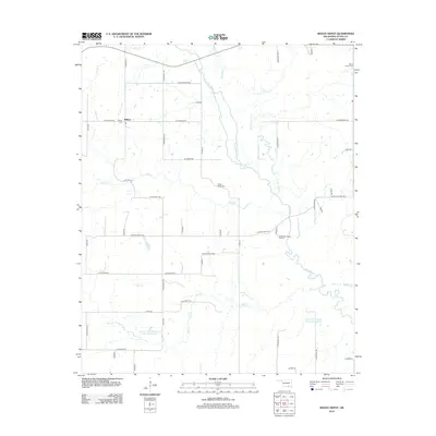
2012 Map of Boggy Depot
USGS Topo · Published 2012About this map
The settlement of Wilson anchors the western side of this landscape, characterized by a complex network of waterways in Atoka County. The confluence of Clear Boggy Cr, Dry Boggy Cr, and Sandy Cr dominates the central terrain, feeding into reservoirs like the Lower Clear Boggy Cr Site 10 Reservoir. This area preserves several traditional burial sites, including Wilson Cem, Boggy Depot Cem, and Wards Chapel Cem, which offer significant value for genealogists tracing regional family history.
Find a feature on this map
54 named features on this map. Tap any name to fly to it.
Don’t see what you’re looking for? This feature index may not catch every label — zoom into the map to look around manually.
Map Details
Editions of this 2012 Boggy Depot Map
This is the sole edition of this map. No revisions or reprints were ever made.
Other maps of this area

1899 · Atoka
USGS Topo · 1:125,000

1900 · Atoka
USGS Topo · 1:125,000

1957 · Lehigh
USGS Topo · 1:24,000

1957 · Ardmore
USGS Topo · 1:250,000

1963 · Ardmore
USGS Topo · 1:250,000
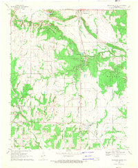
1968 · Wapanucka South
USGS Topo · 1:24,000

1968 · Caddo NW
USGS Topo · 1:24,000
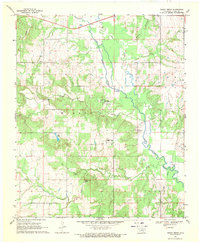
1969 · Boggy Depot
USGS Topo · 1:24,000

1969 · Caddo North
USGS Topo · 1:24,000
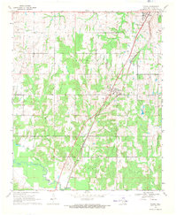
1969 · Tushka
USGS Topo · 1:24,000