2000s (21st Century) Maps of Durant, Oklahoma
Explore 20 historic maps of Durant from the 2000s (21st Century). These maps offer a rare glimpse into what life looked like during the 2000s — showing old roads, neighborhoods, homes, and landmarks that have changed or disappeared over time.
Whether you're researching your family's past, planning a metal detecting trip, or studying how Durant's landscape evolved across the 2000s, these high-resolution maps are a powerful tool for exploring the history of this region.
- Focus on a specific era: All maps on this page are from the 2000s, giving you a focused view of this time period.
- See what’s changed: Compare century-old streets, trails, and buildings to today's modern landscape using overlays and satellite layers.
- Research with precision: Use these maps for genealogy, historical research, land use analysis, or educational projects.
- View, download, or print: Maps are fully viewable online in high resolution, and can be downloaded or printed for your own records.
Start exploring Durant's history through authentic maps from the 2000s. This is your window into the past.
Durant, OK maps
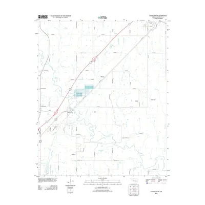
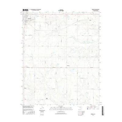
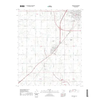
(20)- 2009 Map of Durant South, 2009 Print
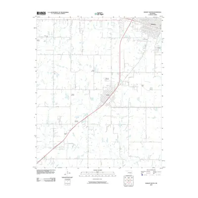 2009 Durant South2009 Print · USGSCovers Durant, including Calera, Olive, and other nearby areas
 - 2009 Map of Durant North, 2009 Print
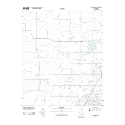 2009 Durant North2009 Print · USGSCovers Durant, including Silo, Cobb, and other nearby areas
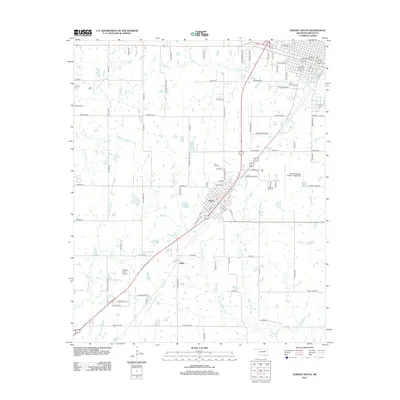
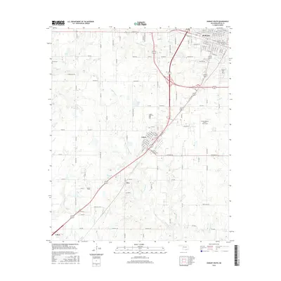
 - 2010 Map of Roberta, 2010 Print
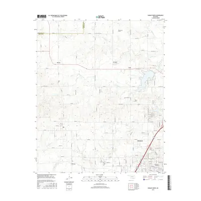
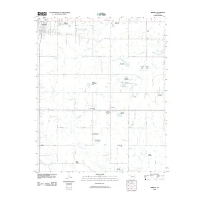 2010 Roberta2010 Print · USGSCovers Durant, including Old Allison, Pirtle, and other nearby areas
 - 2010 Map of Caddo South, 2010 Print
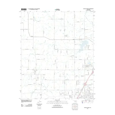
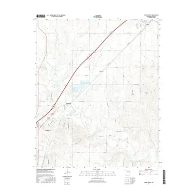
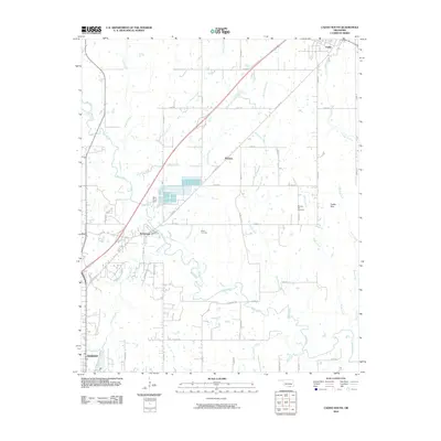 2010 Caddo South2010 Print · USGSCovers Durant, including Caddo, Armstrong, and other nearby areas
 - 2012 Map of Caddo South, 2012 Print
 2012 Caddo South2012 Print · USGSCovers Durant, including Caddo, Armstrong, and other nearby areas
 - 2012 Map of Durant South, 2012 Print
 2012 Durant South2012 Print · USGSCovers Durant, including Calera, Olive, and other nearby areas
 - 2012 Map of Roberta, 2012 Print
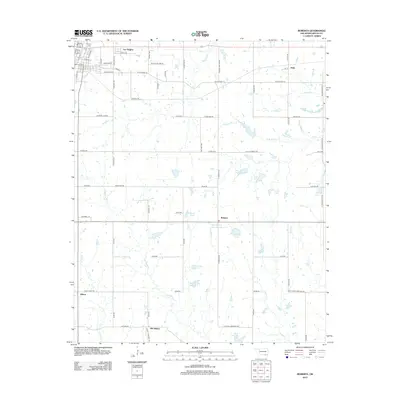 2012 Roberta2012 Print · USGSCovers Durant, including Old Allison, Pirtle, and other nearby areas
 - 2013 Map of Durant North, 2013 Print
 2013 Durant North2013 Print · USGSCovers Durant, including Silo, Cobb, and other nearby areas
 - 2016 Map of Roberta, 2016 Print
 2016 Roberta2016 Print · USGSCovers Durant, including Old Allison, Pirtle, and other nearby areas
 - 2016 Map of Durant South, 2016 Print
 2016 Durant South2016 Print · USGSCovers Durant, including Calera, Olive, and other nearby areas
 - 2016 Map of Caddo South, 2016 Print
 2016 Caddo South2016 Print · USGSCovers Durant, including Caddo, Armstrong, and other nearby areas
 - 2016 Map of Durant North, 2016 Print
 2016 Durant North2016 Print · USGSCovers Durant, including Silo, Cobb, and other nearby areas
 - 2018 Map of Durant South, 2018 Print
 2018 Durant South2018 Print · USGSCovers Durant, including Calera, Olive, and other nearby areas
 - 2018 Map of Roberta, 2018 Print
 2018 Roberta2018 Print · USGSCovers Durant, including Old Allison, Pirtle, and other nearby areas
 - 2018 Map of Caddo South, 2018 Print
 2018 Caddo South2018 Print · USGSCovers Durant, including Caddo, Armstrong, and other nearby areas
 - 2018 Map of Durant North, 2018 Print
 2018 Durant North2018 Print · USGSCovers Durant, including Silo, Cobb, and other nearby areas
 - 2022 Map of Roberta, 2022 Print
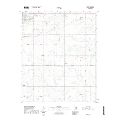
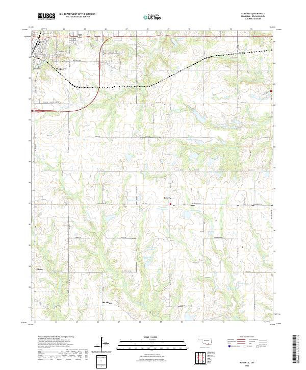 2022 Roberta2022 Print · USGSThe outskirts of Durant meet the rural landscapes of Bryan County in the early 2020s, showing a region defined by its creeks and small lakes. Genealogists and local historians can trace the sites of Pirtle, Roberta, and the Pioneer Cem.
 - 2022 Map of Durant South, 2022 Print
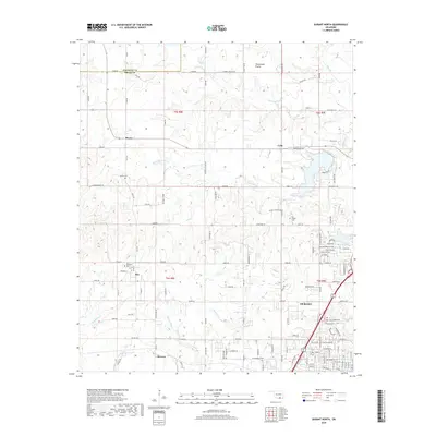
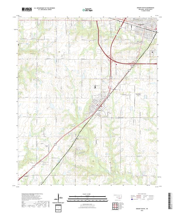 2022 Durant South2022 Print · USGSBryan County in the early 2020s shows the continued growth of Durant and Calera along the north-south transit corridor. Local historians can trace the development of the Durant Regional Airport/Eaker Field and locate family history at Rose Hill Cem or Harrison Cem.
 - 2022 Map of Durant North, 2022 Print
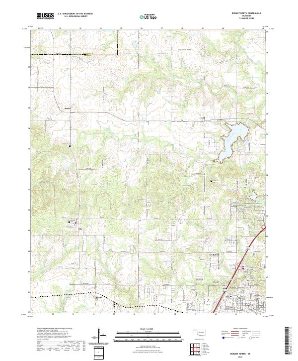 2022 Durant North2022 Print · USGSNorth of Durant in the early 2020s, this area shows a landscape defined by prairie highlands and the winding Blue River. Genealogists and local historians can trace the locations of Keffer Cem, the settlement of Silo, and the Southeastern Oklahoma State University campus.
 - 2022 Map of Caddo South, 2022 Print
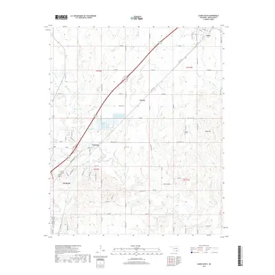
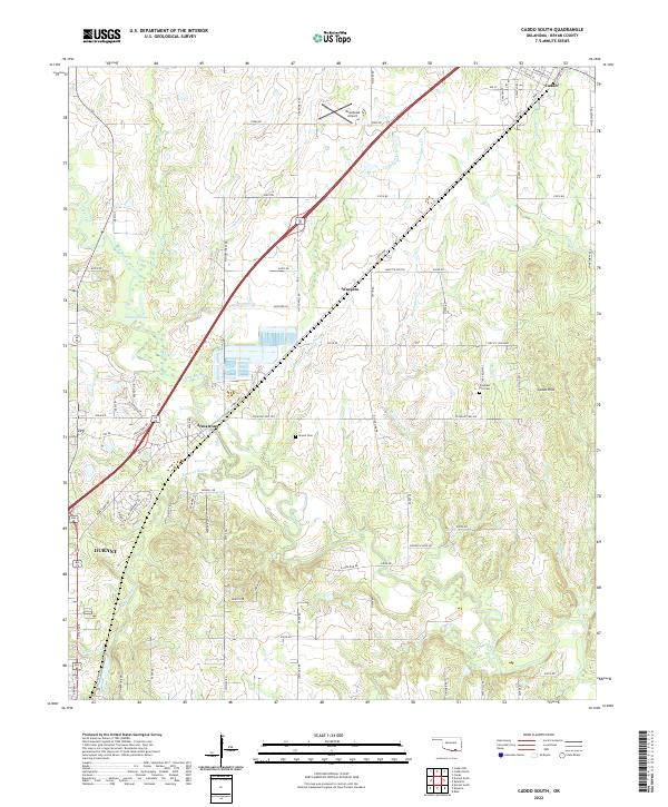 2022 Caddo South2022 Print · USGSThe Bryan County corridor between Caddo and Durant is captured here in the early twenty-first century. Researchers can trace family history at Brown Cem or explore the geography of Armstrong and the Blue River drainage.
End of results
Showing maps 1-20 of 20
Top cities near Durant
- Denison historical maps
- Calera historical maps
- Colbert historical maps
- Caddo historical maps
- Cartwright historical maps
- Achille historical maps
See more
Top neighborhoods of Durant
- Ury historical maps
- Market Square historical maps
- Glenwood Subdivision historical maps
- Heritage Crossing historical maps
- Oak Hills historical maps
- Prestonwood historical maps
See more
Frequently asked questions
- What are the different types of historical maps available for Durant?
- What is the oldest map of Durant?
- Where can I purchase historical maps of Durant for my home or office?
- Where can I download high-res historical maps of Durant?
- Are there historical topographic maps available for Durant?
- Is there historical aerial imagery available for Durant?
- Where are historical maps of Durant sourced from?