Old Maps of Durant, Oklahoma for Hiking & Exploration
Hike through history with 33 historic maps of Durant. Explore old trails, ghost towns, and forgotten backroads — perfect for outdoor adventurers and local explorers.
- Rediscover forgotten places: Map out old mining camps, roads, and footpaths that no longer exist on modern maps.
- Layer with modern tools: Combine with LiDAR or satellite views to plan hikes through historical terrain.
- Made for exploration: Popular among hikers, overlanders, and local history lovers.
Use these maps to find adventure and explore the hidden past of Durant.
Durant, OK maps
(33)- 1899 Map of Atoka
 1899 Atoka1899 Print · USGSIn the final years of the Indian Territory, this map details the complex border between the Chickasaw and Choctaw Nations. Genealogists can trace early homesteads near Old Boggy Depot, the Buffalo Creek Church, and the Chickasaw Rock Academy.
 - 1900 Map of Atoka
 1900 Atoka1900 Print · USGSIndian Territory at the turn of the century shows the developing rail-and-river network before Oklahoma statehood. Genealogists and historians can trace original settlements like Old Boggy Depot, find the Chickasaw Rock Academy, and follow the Missouri Kansas and Texas R.R. through Atoka.4 unique versions available
 - 1954 Map of Sherman, 1964 Print
 1954 Sherman1964 Print · USGSThe Red River valley and North Texas plains are captured here in the mid-fifties, showing the region as new reservoirs like Lake Texoma and Lavon Reservoir reshaped the land. Genealogists can trace family roots through specific local landmarks like Courtney P O, Pilot Grove Sch, and New Hope Ch.2 unique versions available
 - 1957 Map of Ardmore, 1968 Print
 1957 Ardmore1968 Print · USGSSouth-central Oklahoma in the late fifties was a landscape of rising reservoir waters and expanding rail lines. Genealogists and historians can trace the foundations of Ardmore and Duncan or locate early recreation sites at Platt National Park and Lake Murray State Park.3 unique versions available
 - 1958 Map of Durant, 1959 Print
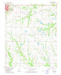
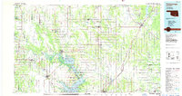
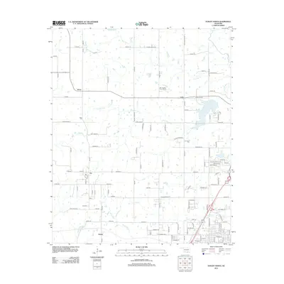
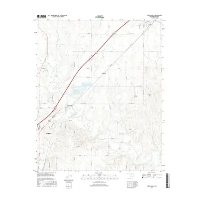
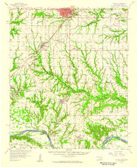 1958 Durant1959 Print · USGSSouthern Oklahoma and the Texas borderlands meet along the Red River in the late fifties, showcasing a landscape of rail-fed towns and river crossings. Genealogists can trace family roots through several landmarks like Rose Hill Cem, Lee Chapel, and the historic Old Indian Boundary Line.3 unique versions available
 - 1958 Map of Sherman, 1959 Print
 1958 Sherman1959 Print · USGSNorth Texas and Southern Oklahoma were undergoing significant development in the late fifties as the Red River Valley transit networks matured. Researchers can trace historic family-named locations such as Saddler Bend, the grounds of Perrin AFB, and early shoreline developments at Lake Texoma.
 - 1963 Map of Ardmore
 1963 Ardmore1963 Print · USGSSouthern Oklahoma during the early sixties shows a landscape defined by the Arbuckle Mountains and a booming energy economy. Genealogists and historians can trace family-named sites across the Ardmore Oil Field, find old schools like Southeastern State College, or locate historic markers such as Boggy Depot State Park.2 unique versions available
 - 1968 Map of Durant North, 1971 Print
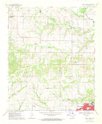 1968 Durant North1971 Print · USGSBryan County in the late sixties shows a landscape shaped by historical lines and collegiate growth north of Durant. Genealogists and historians can trace family locations near Keffer Cem and Brown, or locate the exact course of the Indian Treaty Boundary.
 - 1969 Map of Caddo South, 1971 Print
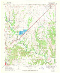 1969 Caddo South1971 Print · USGSBryan County in the late sixties is defined by its transit corridors and the sprawling river valleys of the Blue River. Genealogists and historians can trace the rural infrastructure of Armstrong and Wasseta or locate landmarks like Pleasant Hill Cem and the State Fish Hatchery.
 - 1980 Map of Durant South, 1981 Print
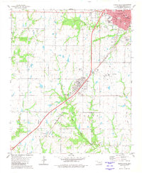 1980 Durant South1981 Print · USGSThe southern outskirts of Durant and the town of Calera are captured here in the early 1980s, showcasing a mix of municipal growth and historical boundary lines. Researchers can trace the Old Indian Treaty Boundary and locate family burial grounds at Highland Cem or Rose Hill Cem.
 - 1980 Map of Roberta, 1981 Print
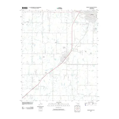
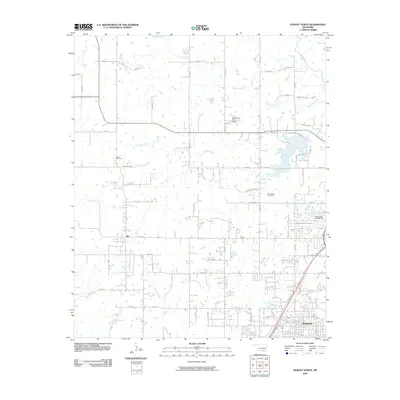
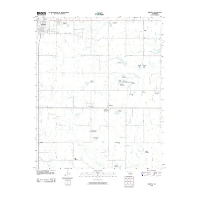
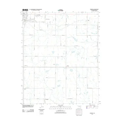
 1980 Roberta1981 Print · USGSThe outskirts of Durant and the surrounding rural communities of Bryan County are captured here in the 1980s. Genealogists and local historians can trace legacy sites like Pioneer Cem, George Washington Sch, and the community at Roberta.
 - 1985 Map of Tishomingo, 1986 Print
 1985 Tishomingo1986 Print · USGSSouthern Oklahoma in the mid-eighties reveals a landscape shaped by significant water projects and conservation lands. Genealogists and historians can trace the footprints of communities like Wapanucka and Bromide alongside the Washita River and Lake Texoma.3 unique versions available
 - 1985 Map of Sherman, 1991 Print
 1985 Sherman1991 Print · USGSThe borderlands of North Texas and Southern Oklahoma are captured here in the mid-eighties, centered on the expansive waters of Lake Texoma. Researchers can trace the legacy of the regional rail economy through the Missouri-Kansas-Texas RR or explore the geography of Hagerman National Wildlife Refuge and Carpenters Bluff.
 - 2009 Map of Durant South, 2009 Print
 2009 Durant South2009 Print · USGSCovers Durant, including Calera, Olive, and other nearby areas
 - 2009 Map of Durant North, 2009 Print
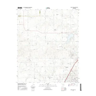
 2009 Durant North2009 Print · USGSCovers Durant, including Silo, Cobb, and other nearby areas
 - 2010 Map of Roberta, 2010 Print
 2010 Roberta2010 Print · USGSCovers Durant, including Old Allison, Pirtle, and other nearby areas
 - 2010 Map of Caddo South, 2010 Print
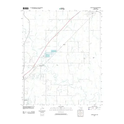 2010 Caddo South2010 Print · USGSCovers Durant, including Caddo, Armstrong, and other nearby areas
 - 2012 Map of Caddo South, 2012 Print
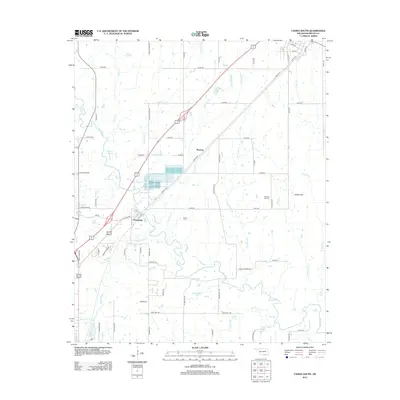 2012 Caddo South2012 Print · USGSCovers Durant, including Caddo, Armstrong, and other nearby areas
 - 2012 Map of Durant South, 2012 Print
 2012 Durant South2012 Print · USGSCovers Durant, including Calera, Olive, and other nearby areas
 - 2012 Map of Roberta, 2012 Print
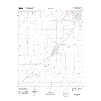
 2012 Roberta2012 Print · USGSCovers Durant, including Old Allison, Pirtle, and other nearby areas
 - 2013 Map of Durant North, 2013 Print
 2013 Durant North2013 Print · USGSCovers Durant, including Silo, Cobb, and other nearby areas
 - 2016 Map of Roberta, 2016 Print
 2016 Roberta2016 Print · USGSCovers Durant, including Old Allison, Pirtle, and other nearby areas
 - 2016 Map of Durant South, 2016 Print
 2016 Durant South2016 Print · USGSCovers Durant, including Calera, Olive, and other nearby areas
 - 2016 Map of Caddo South, 2016 Print
 2016 Caddo South2016 Print · USGSCovers Durant, including Caddo, Armstrong, and other nearby areas
 - 2016 Map of Durant North, 2016 Print
 2016 Durant North2016 Print · USGSCovers Durant, including Silo, Cobb, and other nearby areas
Showing maps 1-25 of 33
Top cities near Durant
- Denison historical maps
- Calera historical maps
- Colbert historical maps
- Caddo historical maps
- Cartwright historical maps
- Achille historical maps
See more
Top neighborhoods of Durant
- Ury historical maps
- Market Square historical maps
- Glenwood Subdivision historical maps
- Heritage Crossing historical maps
- Oak Hills historical maps
- Prestonwood historical maps
See more
Frequently asked questions
- What are the different types of historical maps available for Durant?
- What is the oldest map of Durant?
- Where can I purchase historical maps of Durant for my home or office?
- Where can I download high-res historical maps of Durant?
- Are there historical topographic maps available for Durant?
- Is there historical aerial imagery available for Durant?
- Where are historical maps of Durant sourced from?