2000-2009 Maps of Caddo County, Oklahoma
Explore 18 historic maps of Caddo County from 2000-2009. These maps offer a rare glimpse into what life looked like during the 2000s — showing old roads, neighborhoods, homes, and landmarks that have changed or disappeared over time.
Whether you're researching your family's past, planning a metal detecting trip, or studying how Caddo County's landscape evolved across the 2000s, these high-resolution maps are a powerful tool for exploring the history of this region.
- Focus on a specific era: All maps on this page are from the 2000s, giving you a focused view of this time period.
- See what’s changed: Compare century-old streets, trails, and buildings to today's modern landscape using overlays and satellite layers.
- Research with precision: Use these maps for genealogy, historical research, land use analysis, or educational projects.
- View, download, or print: Maps are fully viewable online in high resolution, and can be downloaded or printed for your own records.
Start exploring Caddo County's history through authentic maps from the 2000s. This is your window into the past.
Caddo County, OK maps
(18)- 2009 Map of Cogar NW, 2009 Print
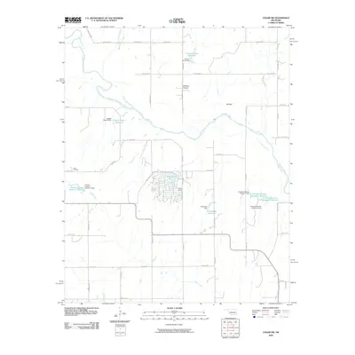 2009 Cogar NW2009 Print · USGSThe Oklahoma countryside southwest of Oklahoma City is captured here during the first decade of the new millennium. Researchers can trace family-named landmarks like the Niles Cemetery and explore local geography from Tall Bear Canyon to Cedar Lake.
 - 2009 Map of Cogar SE, 2009 Print
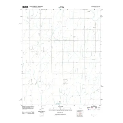 2009 Cogar SE2009 Print · USGSThe rural landscape of Canadian County comes into focus in the early 2000s, showing a transition between natural prairie drainage and modern water management. Researchers can locate the Center View Cemetery or trace the winding paths of Buggy Creek and the Canadian River.
 - 2009 Map of Anadarko East, 2009 Print
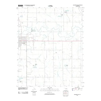 2009 Anadarko East2009 Print · USGSAnadarko expands eastward into the Caddo County prairie during the early 2000s, where the winding Washita River meets a landscape of managed waterways. Family historians can pinpoint Kiowa Cemetery and Roach Cemetery among the section-line roads and numerous reservoirs.
 - 2009 Map of Anadarko West, 2009 Print
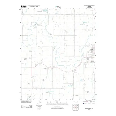 2009 Anadarko West2009 Print · USGSCaddo County's river valley and rural uplands are shown in the first decade of the millennium as a landscape defined by the Washita River and local agriculture. Researchers can trace family sites at Red Stone Cemetery or locate the historic Holiness Camp and Nazarene Camp.
 - 2009 Map of Cogar NE, 2009 Print
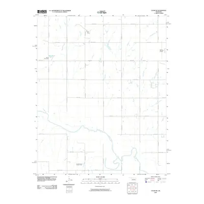 2009 Cogar NE2009 Print · USGSCanadian County at the turn of the millennium shows a landscape shaped by the Canadian River and a precise grid of rural section roads. Genealogists and local historians can locate the Buena Vista Cemetery or trace the development of the Wayne Reuter Reservoir.
 - 2009 Map of Anadarko NW, 2009 Print
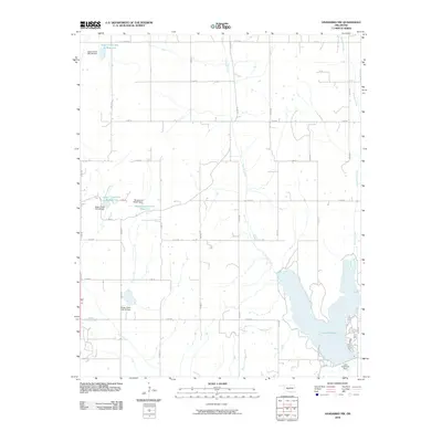 2009 Anadarko NW2009 Print · USGSCaddo County's rural landscape is captured here in the early twenty-first century, showing a highly managed watershed defined by reservoirs and section-line roads. Researchers can trace the development of local water infrastructure through Lake Chickasha, Sugar Creek Site 33 Reservoir, and the Lake Chickasha Dam.
 - 2009 Map of Cogar, 2009 Print
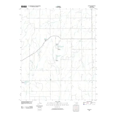 2009 Cogar2009 Print · USGSCaddo County's rural prairie landscape is captured here in the early twenty-first century, showing a network of managed watersheds and country roads. Genealogists and local historians can locate Spring Creek Cemetery and trace drainages like White Bread Creek or Stinking Creek.
 - 2009 Map of Anadarko NE, 2009 Print
 2009 Anadarko NE2009 Print · USGSOklahoma's rural Grady County is captured here in the early twenty-first century, showing a landscape shaped by petroleum and prairie streams. Researchers can locate the Liberty Cemetery and trace the drainage of Jack Hollow Creek or the Northeast Verden Oil Field.
 - 2009 Map of Hydro, 2009 Print
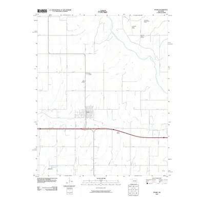 2009 Hydro2009 Print · USGSOklahoma's famous highway corridor and the agricultural plains surrounding Hydro are documented here during the early 2000s. Researchers can trace the path of Old US Hwy 66, locate the Hydro Masonic Cemetery, and explore the terrain of American Horse Canyon.
 - 2009 Map of Eakly NE, 2009 Print
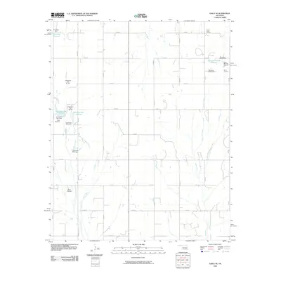 2009 Eakly NE2009 Print · USGSCuster County's agricultural grid and conservation dams come into focus in the early twenty-first century. Researchers can locate local landmarks like Mound Valley Cemetery and Bethel Cemetery, or trace the distinctive rises of Ghost Mound and Dead Woman Mound.
 - 2009 Map of Sickles, 2009 Print
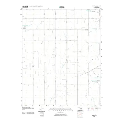 2009 Sickles2009 Print · USGSCaddo County's agricultural landscape is captured here in the early 2000s, defined by a rigid road grid and essential water management projects. Researchers can locate specific sites like the Lookeba Cemetery, King Airport, and the Kiwanis Youth Camp.
 - 2009 Map of Rock Mary, 2009 Print
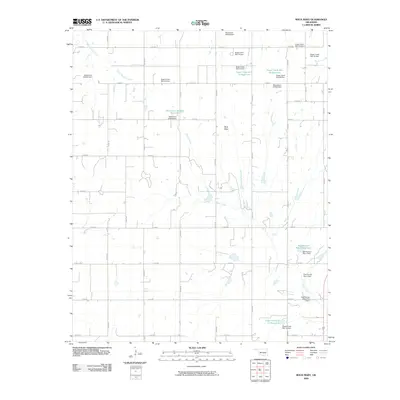 2009 Rock Mary2009 Print · USGSCaddo County's rural landscape is captured here in the early twenty-first century, centered on the notable landmark of Rock Mary. Genealogists and researchers can trace local water features and rural routes like Dead Woman Creek, Bethel Rd, and the Sugar Creek Site 11 Reservoir.
 - 2009 Map of Eakly, 2009 Print
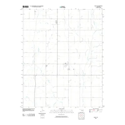 2009 Eakly2009 Print · USGSOklahoma's agricultural heartland is documented here in the early twenty-first century, centered on the community of Eakly. Genealogists and local historians can locate Eakly Cemetery and Poage Cemetery, alongside private airfields like Lasley Airport.
 - 2009 Map of Verden, 2009 Print
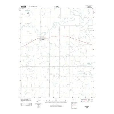 2009 Verden2009 Print · USGSThe rural landscape around Verden in the early twenty-first century is defined by its deep ties to the Washita River and a precise grid of county roads. Researchers can trace the meandering Washita River or locate local landmarks like Spring Creek Site 103 Reservoir and Rock Hollow Creek.
 - 2009 Map of Gracemont, 2009 Print
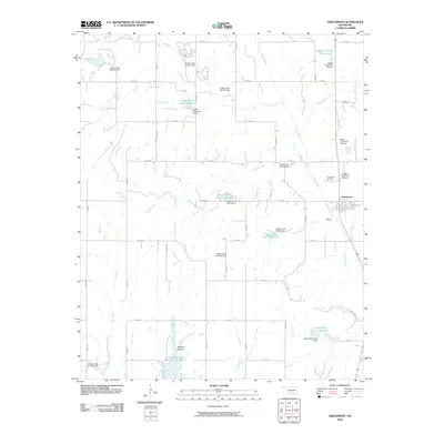 2009 Gracemont2009 Print · USGSGracemont and its rural Caddo County surroundings are documented here at the turn of the millennium. Researchers can trace the town layout and extensive watershed infrastructure, including Gracemont Cemetery, Stockton Canyon, and the banks of White Bread Creek.
 - 2009 Map of Fort Cobb, 2009 Print
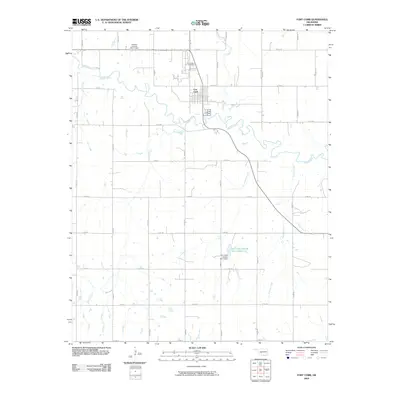 2009 Fort Cobb2009 Print · USGSThe rural town of Fort Cobb and the winding Washita River valley are captured here in the early twenty-first century. Genealogists and researchers can trace local family landmarks like the Fort Cobb Cemetery and water infrastructure such as the Fort Cobb Laterals Site 7 Reservoir.
 - 2009 Map of Laverty, 2009 Print
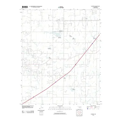 2009 Laverty2009 Print · USGSThe rural landscape south of Chickasha is captured in this early 21st-century survey of the Grady County plains. Genealogists and historians can trace family locations through burial sites at Laverty Cemetery and Woods Memorial Cemetery.
 - 2009 Map of Boone, 2009 Print
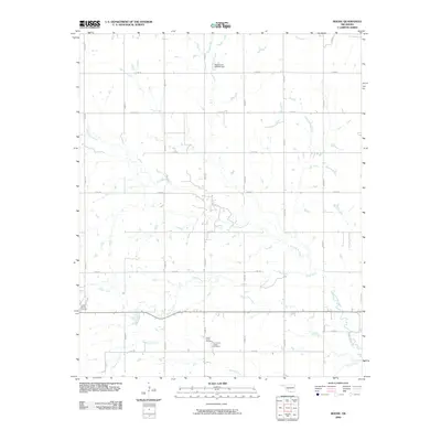 2009 Boone2009 Print · USGSCaddo County's rural landscape is documented here in the early 2000s, showcasing a network of tribal and local landmarks. Researchers can locate the Comanche Indian Cemetery, the historic Camp George Thomas, and the winding path of East Cache Creek.
End of results
Showing maps 1-18 of 18
Top cities of Caddo County
- Anadarko historical maps
- Hinton historical maps
- Carnegie historical maps
- Apache historical maps
- Cyril historical maps
- Fort Cobb historical maps
See more
Frequently asked questions
- What are the different types of historical maps available for Caddo County?
- What is the oldest map of Caddo County?
- Where can I purchase historical maps of Caddo County for my home or office?
- Where can I download high-res historical maps of Caddo County?
- Are there historical topographic maps available for Caddo County?
- Is there historical aerial imagery available for Caddo County?
- Where are historical maps of Caddo County sourced from?