Old Maps of Carter County, Oklahoma
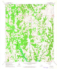
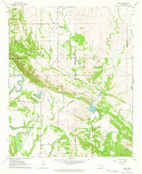
Explore 38 old maps of Carter County, spanning from 1898 to today. These high-resolution historic maps reveal how streets, neighborhoods, landmarks, and natural features evolved over time — perfect for genealogy, metal detecting, research, and local history exploration.
What you can do with these maps:
- See how Carter County changed over time: Compare historical maps to modern-day views to trace roads, homesites, rail lines & more.
- View detailed metadata: Each map includes creators, publishers, year, scale, and archive source.
- Overlay maps with satellite & LiDAR: Visualize the past alongside modern tools to explore terrain & human change.
- Trusted historical sources: Maps sourced from the USGS, Library of Congress, and other archives.
- Access maps your way: View online, download high-res files, or order prints for personal or research use.
Start exploring old maps of Carter County to uncover forgotten places, hidden landmarks, and the deep history beneath your feet.
Carter County, OK maps
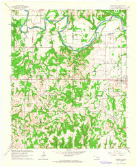
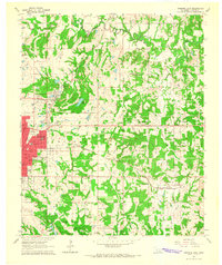
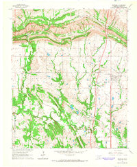
(38)- 1898 Map of Pauls Valley, 1954 Print
 1898 Pauls Valley1954 Print · USGSCovers Carter County, including Purcell, Pauls Valley, and other nearby areas
 - 1901 Map of Addington
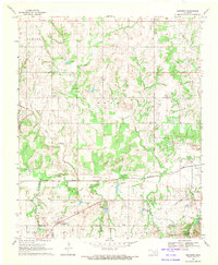
 1901 Addington1901 Print · USGSCovers Carter County, including Duncan, Healdton, and other nearby areas3 unique versions available
 - 1901 Map of Tishomingo
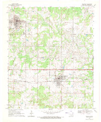
 1901 Tishomingo1901 Print · USGSCovers Carter County, including Ardmore, Sulphur, and other nearby areas4 unique versions available
 - 1901 Map of Ardmore
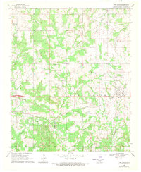
 1901 Ardmore1901 Print · USGSCovers Carter County, including Ardmore, Lone Grove, and other nearby areas4 unique versions available
 - 1902 Map of Pauls Valley
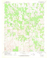
 1902 Pauls Valley1902 Print · USGSCovers Carter County, including Purcell, Pauls Valley, and other nearby areas3 unique versions available
 - 1902 Map of Rush Springs
 1902 Rush Springs1902 Print · USGSCovers Carter County, including Duncan, Chickasha, and other nearby areas4 unique versions available
 - 1918 Map of Ardmore
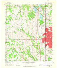
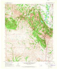
 1918 Ardmore1918 Print · USGSCovers Carter County, including Ardmore, Lone Grove, and other nearby areas
 - 1957 Map of Ardmore, 1968 Print
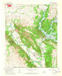
 1957 Ardmore1968 Print · USGSCovers Carter County, including Ardmore, Duncan, and other nearby areas2 unique versions available
 - 1963 Map of Ardmore
 1963 Ardmore1963 Print · USGSCovers Carter County, including Ardmore, Duncan, and other nearby areas
 - 1963 Map of Mannsville, 1964 Print
 1963 Mannsville1964 Print · USGSCovers Carter County, including Dickson, Mannsville, and other nearby areas2 unique versions available
 - 1963 Map of Mc Millan, 1964 Print
 1963 Mc Millan1964 Print · USGSCovers Carter County, including McMillan, Eville, and other nearby areas2 unique versions available
 - 1963 Map of Nebo, 1964 Print
 1963 Nebo1964 Print · USGSCovers Carter County, including Ardmore, Nebo, and other nearby areas2 unique versions available
 - 1964 Map of Lake Murray, 1965 Print
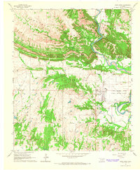
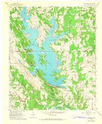 1964 Lake Murray1965 Print · USGSCovers Carter County, including Hoxbar, Love County, and other nearby areas2 unique versions available
 - 1964 Map of Ardmore East, 1965 Print
 1964 Ardmore East1965 Print · USGSCovers Carter County, including Ardmore, Dickson, and other nearby areas3 unique versions available
 - 1964 Map of Ardmore West, 1965 Print
 1964 Ardmore West1965 Print · USGSCovers Carter County, including Ardmore, Lone Grove, and other nearby areas2 unique versions available
 - 1964 Map of Gene Autry, 1965 Print
 1964 Gene Autry1965 Print · USGSCovers Carter County, including Ardmore, Springer, and other nearby areas2 unique versions available
 - 1964 Map of Overbrook, 1965 Print
 1964 Overbrook1965 Print · USGSCovers Carter County, including Marsden, Brock, and other nearby areas3 unique versions available
 - 1964 Map of Springer, 1965 Print
 1964 Springer1965 Print · USGSCovers Carter County, including Ardmore, Springer, and other nearby areas3 unique versions available
 - 1964 Map of Turner Falls, 1966 Print
 1964 Turner Falls1966 Print · USGSCovers Carter County, including Jollyville, Cedar Village, and other nearby areas2 unique versions available
 - 1965 Map of Dougherty, 1966 Print
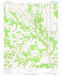
 1965 Dougherty1966 Print · USGSCovers Carter County, including Sulphur, Dougherty, and other nearby areas3 unique versions available
 - 1968 Map of Fox NE, 1971 Print
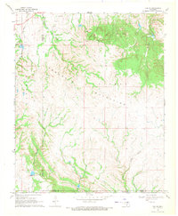 1968 Fox NE1971 Print · USGSCovers Carter County, including Murray County, United States, and other nearby areas
 - 1969 Map of Hennepin, 1971 Print
 1969 Hennepin1971 Print · USGSCovers Carter County, including Katie, Hennepin, and other nearby areas2 unique versions available
 - 1969 Map of Healdton, 1971 Print
 1969 Healdton1971 Print · USGSCovers Carter County, including Healdton, Wilson, and other nearby areas
 - 1969 Map of Lone Grove, 1971 Print
 1969 Lone Grove1971 Print · USGSCovers Carter County, including Lone Grove, United States, and other nearby areas2 unique versions available
 - 1969 Map of Healdton SW, 1971 Print
 1969 Healdton SW1971 Print · USGSCovers Carter County, including Post Oak, Love County, and other nearby areas2 unique versions available
Showing maps 1-25 of 38
Top cities of Carter County
- Ardmore historical maps
- Lone Grove historical maps
- Healdton historical maps
- Wilson historical maps
- Dickson historical maps
- Springer historical maps
See more
Frequently asked questions
- What are the different types of historical maps available for Carter County?
- What is the oldest map of Carter County?
- Where can I purchase historical maps of Carter County for my home or office?
- Where can I download high-res historical maps of Carter County?
- Are there historical topographic maps available for Carter County?
- Is there historical aerial imagery available for Carter County?
- Where are historical maps of Carter County sourced from?