
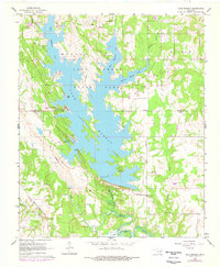
1964 Map of Lake Murray
USGS Topo · Published 1965About this map
Lake Murray dominates the landscape of this 1964 survey, its shoreline deeply indented by the West Anadarche Arm, East Anadarche Arm, and Fourche Maline Arm. This period of the mid-1960s shows a well-established recreational and transport network within Lake Murray State Park, featuring Tucker Tower, the Lake Murray Chapel, and several named points like Tipps Point. South of the lake, the topography transitions toward the northern reaches of Lake Texoma along Hickory Creek.
Find a feature on this map
38 named features on this map. Tap any name to fly to it.
Don’t see what you’re looking for? This feature index may not catch every label — zoom into the map to look around manually.
Map Details
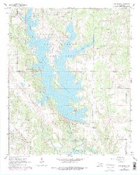
Editions of this 1964 Lake Murray Map
3 editions found
Other maps of this area

1901 · Tishomingo
USGS Topo · 1:125,000

1901 · Ardmore
USGS Topo · 1:125,000

1901 · Denison
USGS Topo · 1:125,000

1902 · Gainesville
USGS Topo · 1:125,000

1918 · Ardmore
USGS Topo · 1:125,000

1943 · Gainesville
USGS Topo · 1:125,000

1954 · Sherman
USGS Topo · 1:250,000

1957 · Ardmore
USGS Topo · 1:250,000

1958 · Gordonville
USGS Topo · 1:62,500

1958 · Sherman
USGS Topo · 1:250,000