2000s (21st Century) Maps of Sawyer, Oklahoma
Explore 20 historic maps of Sawyer from the 2000s (21st Century). These maps offer a rare glimpse into what life looked like during the 2000s — showing old roads, neighborhoods, homes, and landmarks that have changed or disappeared over time.
Whether you're researching your family's past, planning a metal detecting trip, or studying how Sawyer's landscape evolved across the 2000s, these high-resolution maps are a powerful tool for exploring the history of this region.
- Focus on a specific era: All maps on this page are from the 2000s, giving you a focused view of this time period.
- See what’s changed: Compare century-old streets, trails, and buildings to today's modern landscape using overlays and satellite layers.
- Research with precision: Use these maps for genealogy, historical research, land use analysis, or educational projects.
- View, download, or print: Maps are fully viewable online in high resolution, and can be downloaded or printed for your own records.
Start exploring Sawyer's history through authentic maps from the 2000s. This is your window into the past.
Sawyer, OK maps
(20)- 2010 Map of Fort Towson, 2010 Print
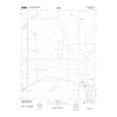 2010 Fort Towson2010 Print · USGSCovers Sawyer, including Fort Towson, Choctaw County, and other nearby areas
 - 2010 Map of Hugo Dam, 2010 Print
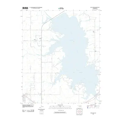 2010 Hugo Dam2010 Print · USGSCovers Sawyer, including Hugo, Virgil, and other nearby areas
 - 2010 Map of Frogville, 2010 Print
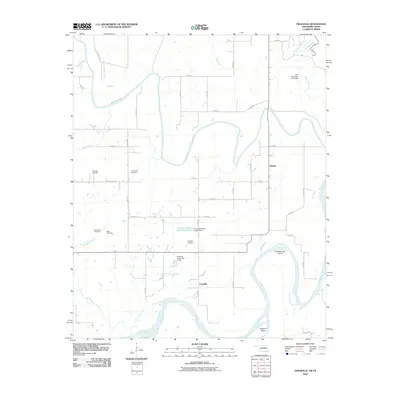 2010 Frogville2010 Print · USGSCovers Sawyer, including Fort Towson, Frogville, and other nearby areas
 - 2010 Map of Shoals, 2010 Print
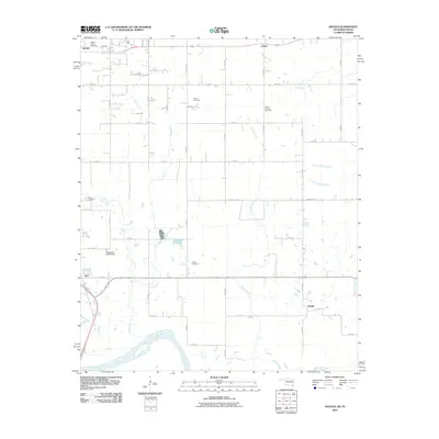 2010 Shoals2010 Print · USGSCovers Sawyer, including Hugo, Ord, and other nearby areas
 - 2012 Map of Fort Towson, 2012 Print
 2012 Fort Towson2012 Print · USGSCovers Sawyer, including Fort Towson, Choctaw County, and other nearby areas
 - 2012 Map of Shoals, 2012 Print
 2012 Shoals2012 Print · USGSCovers Sawyer, including Hugo, Ord, and other nearby areas
 - 2012 Map of Frogville, 2012 Print
 2012 Frogville2012 Print · USGSCovers Sawyer, including Fort Towson, Frogville, and other nearby areas
 - 2013 Map of Hugo Dam, 2013 Print
 2013 Hugo Dam2013 Print · USGSCovers Sawyer, including Hugo, Virgil, and other nearby areas
 - 2016 Map of Shoals, 2016 Print
 2016 Shoals2016 Print · USGSCovers Sawyer, including Hugo, Ord, and other nearby areas
 - 2016 Map of Fort Towson, 2016 Print
 2016 Fort Towson2016 Print · USGSCovers Sawyer, including Fort Towson, Choctaw County, and other nearby areas
 - 2016 Map of Hugo Dam, 2016 Print
 2016 Hugo Dam2016 Print · USGSCovers Sawyer, including Hugo, Virgil, and other nearby areas
 - 2016 Map of Frogville, 2016 Print
 2016 Frogville2016 Print · USGSCovers Sawyer, including Fort Towson, Frogville, and other nearby areas
 - 2018 Map of Shoals, 2018 Print
 2018 Shoals2018 Print · USGSCovers Sawyer, including Hugo, Ord, and other nearby areas
 - 2018 Map of Frogville, 2018 Print
 2018 Frogville2018 Print · USGSCovers Sawyer, including Fort Towson, Frogville, and other nearby areas
 - 2019 Map of Fort Towson, 2019 Print
 2019 Fort Towson2019 Print · USGSCovers Sawyer, including Fort Towson, Choctaw County, and other nearby areas
 - 2019 Map of Hugo Dam, 2019 Print
 2019 Hugo Dam2019 Print · USGSCovers Sawyer, including Hugo, Virgil, and other nearby areas
 - 2022 Map of Frogville, 2022 Print
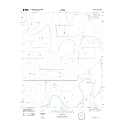
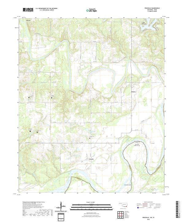 2022 Frogville2022 Print · USGSChoctaw County, Oklahoma, is documented here at the confluence of the Kiamichi and Red Rivers. Genealogists and local historians can trace family locations near Frogville, Huskey, and several rural burial grounds including Everidge Cem and Spring Hill Cem.
 - 2022 Map of Shoals, 2022 Print
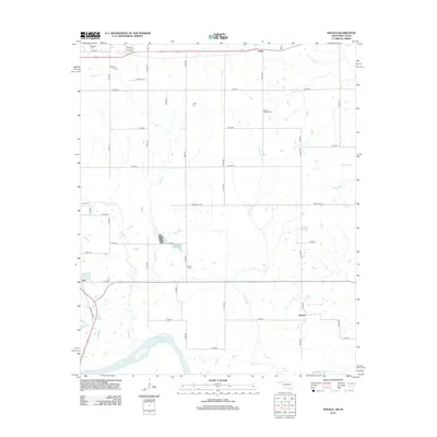
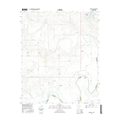
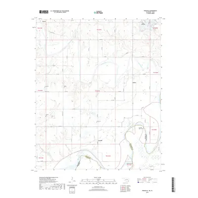
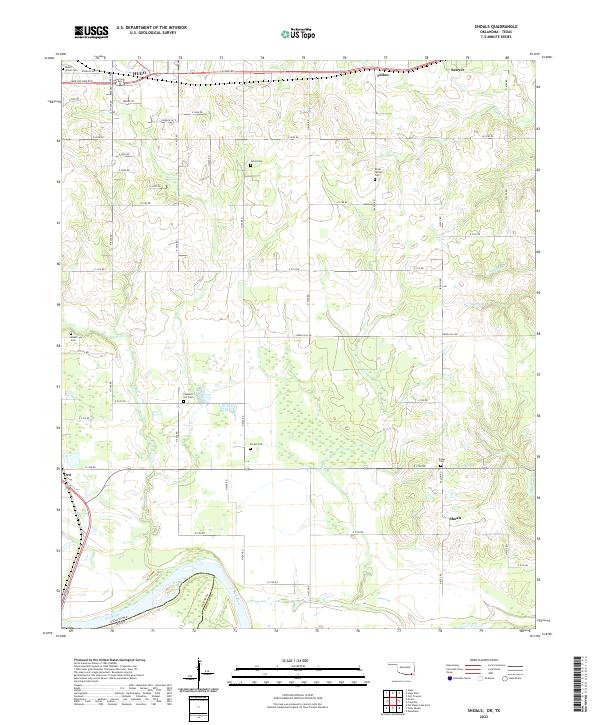 2022 Shoals2022 Print · USGSChoctaw County at the Texas border shows a rural landscape where the Red River meets a dense network of family-named cemeteries. Trace local history through sites like Pleasant Hill Cem and Grant Cem or the small settlement at Shoals.
 - 2022 Map of Fort Towson, 2022 Print
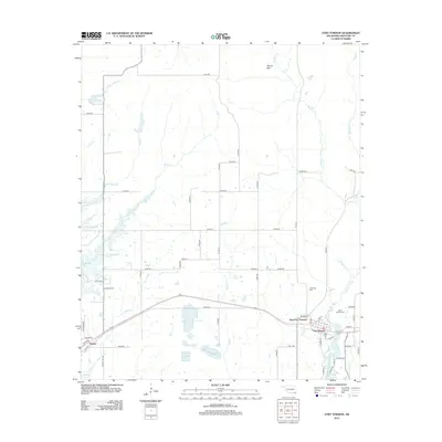
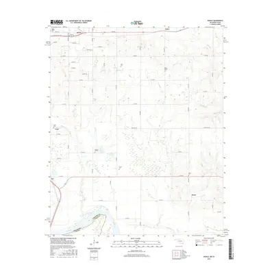
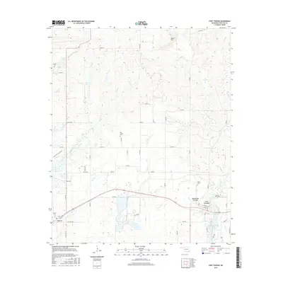
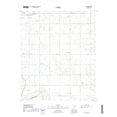
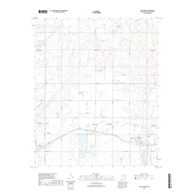
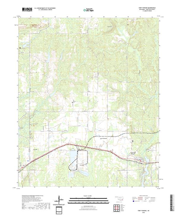 2022 Fort Towson2022 Print · USGSChoctaw County at the turn of the 2020s shows a landscape of long-standing rural communities and historic burial grounds. Genealogists and local historians can trace family locations through sites like Old Fort Towson Cem, Schooler Cem, and the settlement at Sawyer.
 - 2022 Map of Hugo Dam, 2022 Print
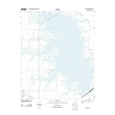
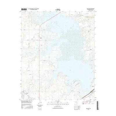
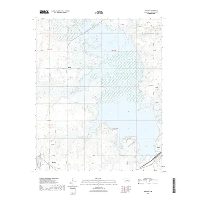
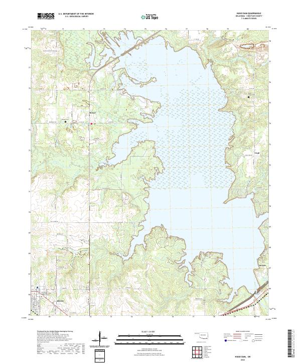 2022 Hugo Dam2022 Print · USGSChoctaw County is centered on the massive reservoir of the Kiamichi River during the early twenty-first century. Researchers can locate family landmarks like Dixon Chapel Cem, the settlement of Messer, and the streets of Hugo.
End of results
Showing maps 1-20 of 20
Top cities near Sawyer
Frequently asked questions
- What are the different types of historical maps available for Sawyer?
- What is the oldest map of Sawyer?
- Where can I purchase historical maps of Sawyer for my home or office?
- Where can I download high-res historical maps of Sawyer?
- Are there historical topographic maps available for Sawyer?
- Is there historical aerial imagery available for Sawyer?
- Where are historical maps of Sawyer sourced from?