2020s Maps of Creek County, Oklahoma
Explore 22 historic maps of Creek County from the 2020s. These maps offer a rare glimpse into what life looked like during the 2020s — showing old roads, neighborhoods, homes, and landmarks that have changed or disappeared over time.
Whether you're researching your family's past, planning a metal detecting trip, or studying how Creek County's landscape evolved across the 2020s, these high-resolution maps are a powerful tool for exploring the history of this region.
- Focus on a specific era: All maps on this page are from the 2020s, giving you a focused view of this time period.
- See what’s changed: Compare century-old streets, trails, and buildings to today's modern landscape using overlays and satellite layers.
- Research with precision: Use these maps for genealogy, historical research, land use analysis, or educational projects.
- View, download, or print: Maps are fully viewable online in high resolution, and can be downloaded or printed for your own records.
Start exploring Creek County's history through authentic maps from the 2020s. This is your window into the past.
Creek County, OK maps
(22)- 2022 Map of Olive, 2022 Print
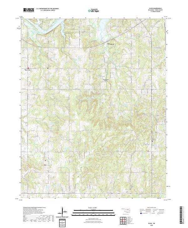 2022 Olive2022 Print · USGSCreek County’s rural landscape comes into focus here during the early twenty-first century, centered on the community of Olive. Genealogists can locate family landmarks like New Friendship Cem or trace the winding paths of Sand Cr and Lawrence Creek.
 - 2022 Map of Oilton, 2022 Print
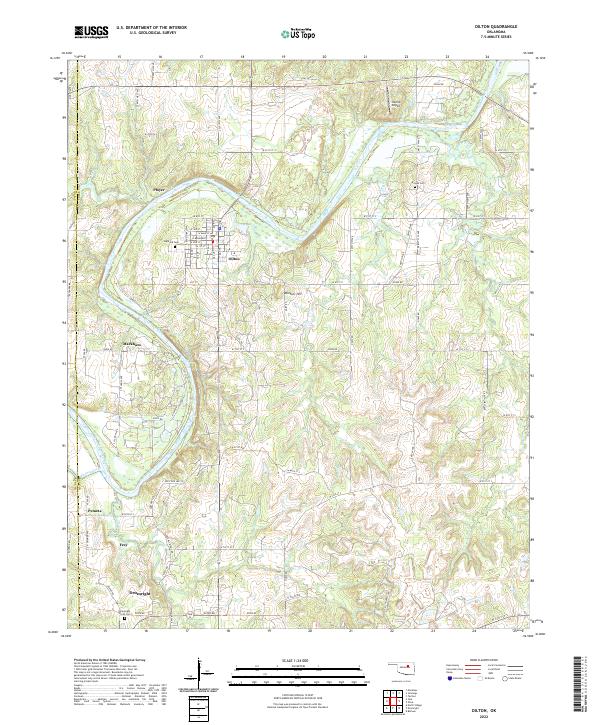 2022 Oilton2022 Print · USGSThe Creek County oil region comes into focus in this recent survey of the corridor between Oilton and Drumright. Researchers can trace the legacy of local settlements like Pemeta and Markham or locate family plots at Highland Cem and Brooks Cem.
 - 2022 Map of Newby, 2022 Print
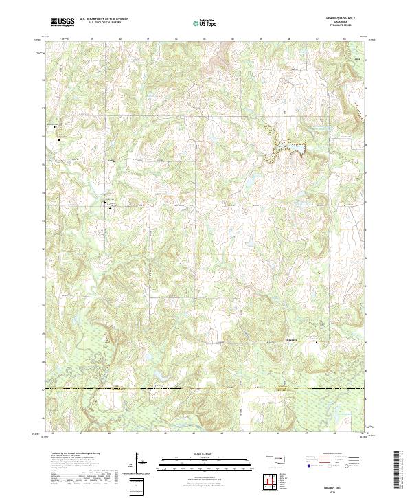 2022 Newby2022 Print · USGSCreek and Okfuskee Counties are captured here in a 2022 survey that details the rural settlements of Slick, Newby, and Tuskegee. Genealogists can trace family heritage through local burial grounds like Mount Harman Cem and Teddy Brown Cem along the Deep Fork drainage.
 - 2022 Map of Lake Boren, 2022 Print
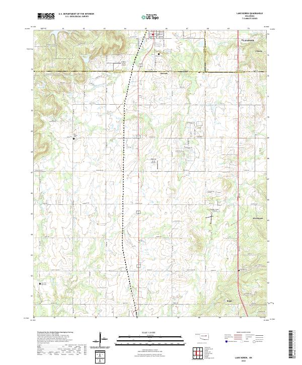 2022 Lake Boren2022 Print · USGSThe borderlands of Creek and Okmulgee Counties are captured here in a moment of continued rural-to-suburban transition. Local researchers can trace family landmarks like Oakwood Cem and Oakdale Cem, or locate aviation sites like Ragwing Acres Airport near Mounds.
 - 2022 Map of Bristow, 2022 Print
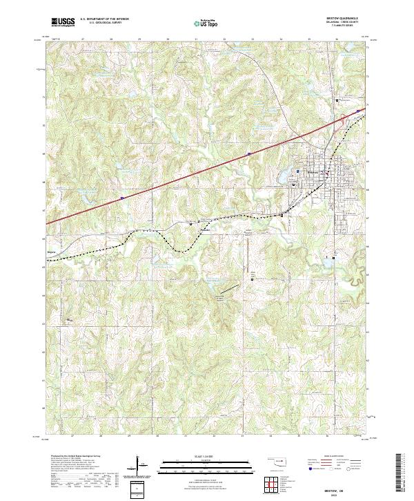 2022 Bristow2022 Print · USGSBristow and the surrounding Oklahoma countryside are captured here in the early twenty-first century as modern transit corridors intersect historical paths. Researchers can locate family burial sites at Magnolia Cemetery or Poor Boy Cemetery and trace the original route of Old Hwy 66.
 - 2022 Map of Kiefer SW, 2022 Print
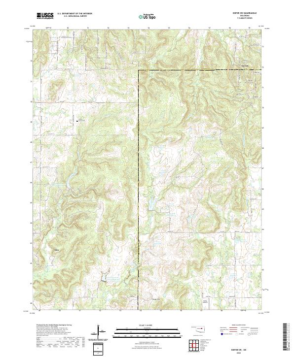 2022 Kiefer SW2022 Print · USGSCreek County and Okmulgee County at the start of the 2020s are defined by rural crossroads and water management. Genealogists and historians can trace Slick and Mounds, or find family landmarks like the Sewell Family Cemetery.
 - 2022 Map of Kellyville, 2022 Print
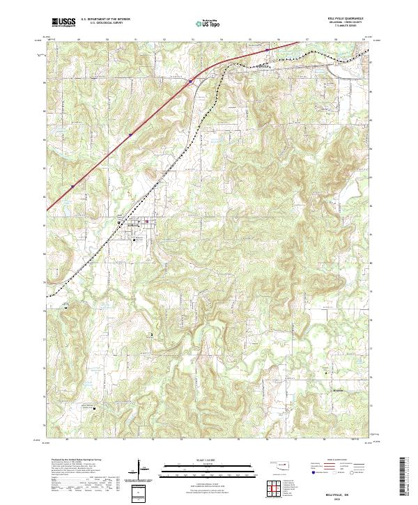 2022 Kellyville2022 Print · USGSCreek County at the start of the 2020s shows a landscape of small towns and rural family land. Genealogists can trace several ancestral sites including Pickett Cem, Felix Cem, and the historic BNSF RAILWAY corridor through Kellyville.
 - 2022 Map of Nuyaka, 2022 Print
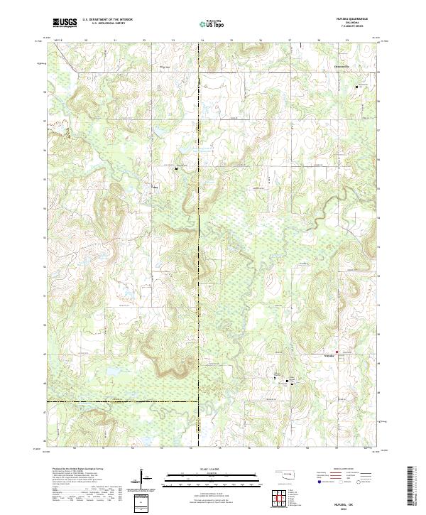 2022 Nuyaka2022 Print · USGSThe Okmulgee County countryside near Nuyaka reveals a landscape of family homesteads and winding creek bottoms. Researchers can trace local lineage through several sites, including Old Nuyaka Cem, Isparhecher Cem, and the quiet settlement of Edna.
 - 2022 Map of Gypsy, 2022 Print
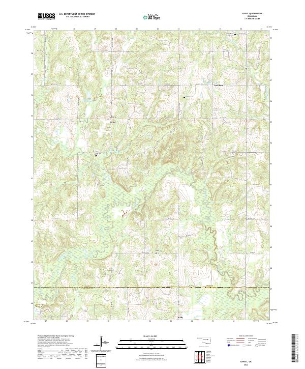 2022 Gypsy2022 Print · USGSThe borderlands of Creek and Okfuskee counties come into focus in this contemporary survey of the rural Oklahoma landscape. Researchers can trace family history through several local landmarks like Polly Long Cem, Wilson Cem, and the small community of Gypsy.
 - 2022 Map of Sapulpa South, 2022 Print
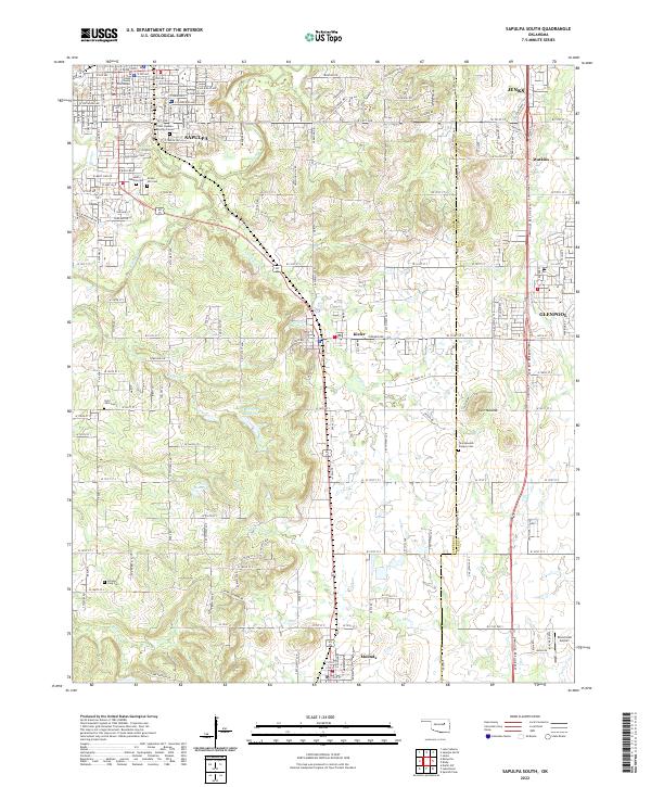 2022 Sapulpa South2022 Print · USGSCreek County south of Sapulpa exhibits a landscape of deep local history and energy development during the early twenty-first century. Genealogists and researchers can locate several notable burial sites including the Chief Sapulpa Burying Ground, Saint John Cem, and the historic Twin Mounds Pioneer Cem.
 - 2022 Map of Slick, 2022 Print
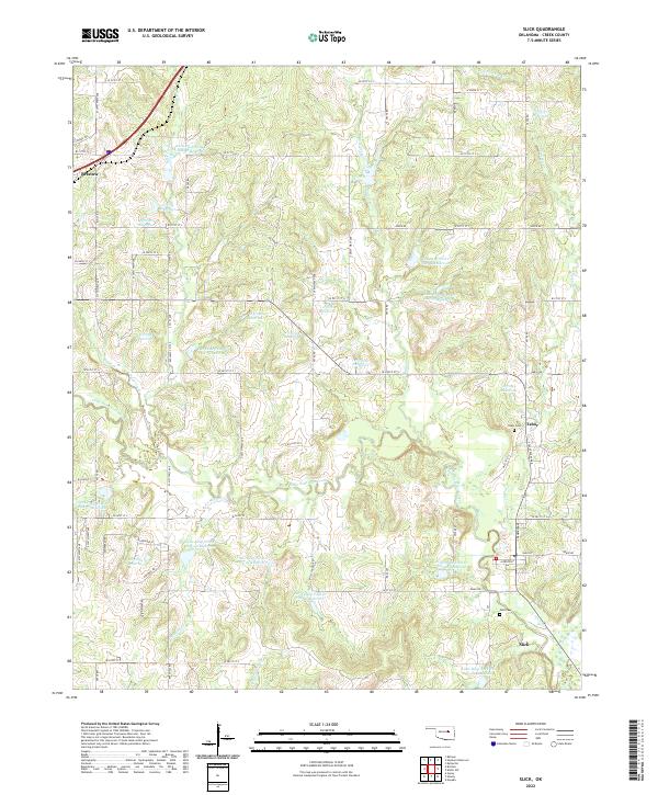 2022 Slick2022 Print · USGSSlick and the surrounding Creek County countryside are shown here in the early twenty-first century. Genealogists and local historians can locate Tabor Cem and Falls Cem, or trace the legacy of the Ozark Trl near Bristow.
 - 2022 Map of Drumright, 2022 Print
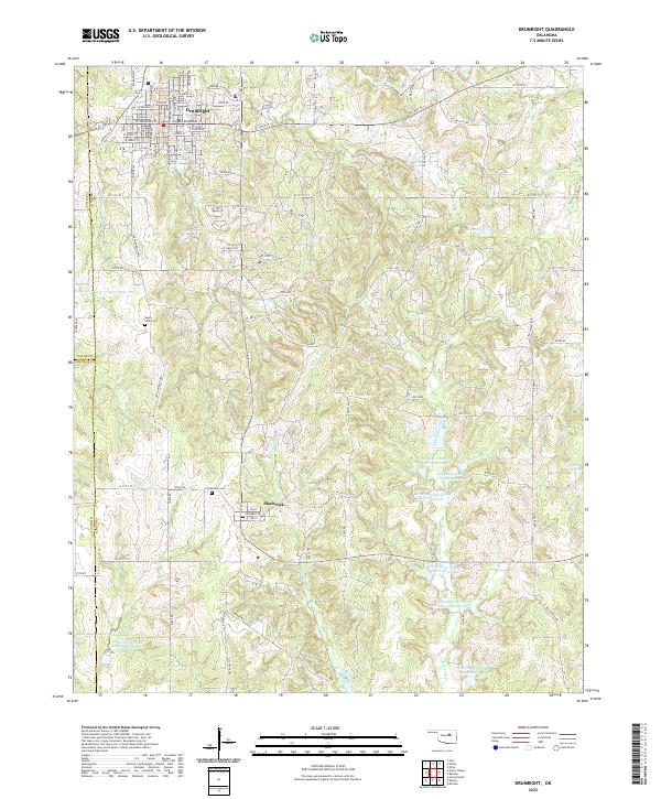 2022 Drumright2022 Print · USGSOklahoma's oil-country history is preserved here in the early twenty-first century, centered on the historic streets of Drumright and the nearby village of Shamrock. Genealogists and local historians can trace family plots at South Side Cem or explore the numerous reservoirs of the Little Deep Fork Creek system.
 - 2022 Map of Bellvue, 2022 Print
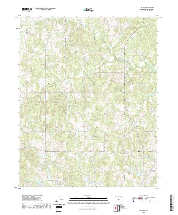 2022 Bellvue2022 Print · USGSCreek County at the start of the 2020s reveals a rural landscape shaped by water management and local history. Researchers can locate family sites like Johnson Cem or trace the drainage of Mosquito Cr and Sand Cr near the settlement of Slick.
 - 2022 Map of Ritts Junction, 2022 Print
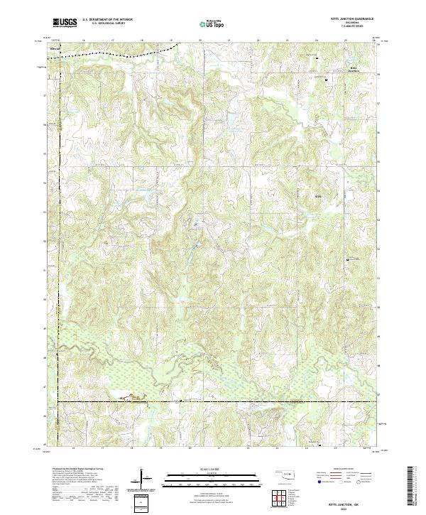 2022 Ritts Junction2022 Print · USGSThe rural Oklahoma borderlands of Creek County come into focus in this modern survey, showing the landscape before recent developments. Genealogists can locate several family and community burial sites like Mutteloke Cem, Lane Cem, and the settlement of Slick.
 - 2022 Map of Depew, 2022 Print
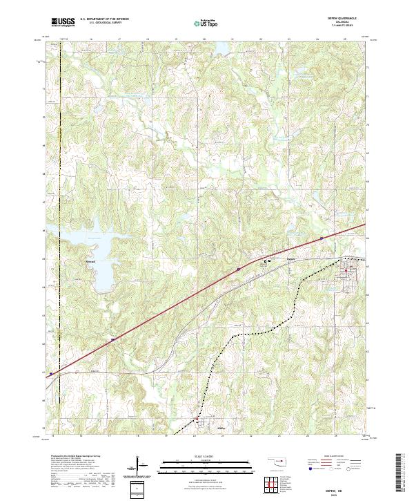 2022 Depew2022 Print · USGSStroud and Depew are shown in modern detail along the historic highway corridor of central Oklahoma. Researchers can trace local burial sites at Oakdale Cem or locate the numerous reservoirs along Little Deep Fork Cr.
 - 2022 Map of Heyburn Reservoir, 2022 Print
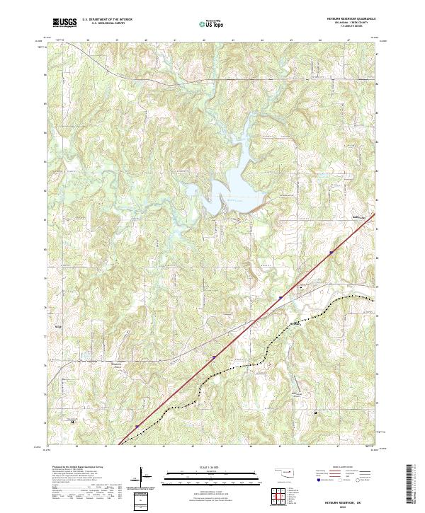 2022 Heyburn Reservoir2022 Print · USGSCreek County, Oklahoma, is mapped here in its contemporary state, showing the interplay between the waters of Heyburn Lake and the historic path of Old Hwy 66. Researchers can trace rural lineages through sites like Sunrise Cem and Oak Hill Cem, or explore the terrain of Wildhorse Prairie.
 - 2022 Map of Terlton, 2022 Print
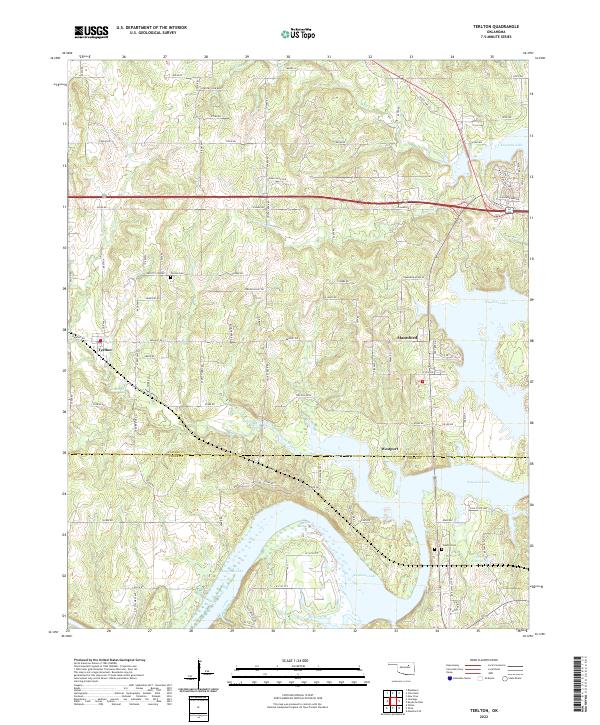 2022 Terlton2022 Print · USGSOklahoma's lake country near the Pawnee and Creek county line is revealed here in the early twenty-first century. Genealogists and local historians can trace family sites from Terlton Cemetery to Oakhill Cemetery or follow the inlets of Keystone Lake toward Mannford.
 - 2022 Map of Sapulpa North, 2022 Print
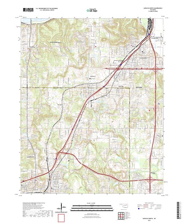 2022 Sapulpa North2022 Print · USGSCreek County and Tulsa County meet in this modern survey of the urban-suburban corridor between Sapulpa and Jenks. Researchers can locate family sites at Little Cussetah Cem, track the BNSF Railway, and find local landmarks like Lookout Mtn.
 - 2022 Map of Lake Sahoma, 2022 Print
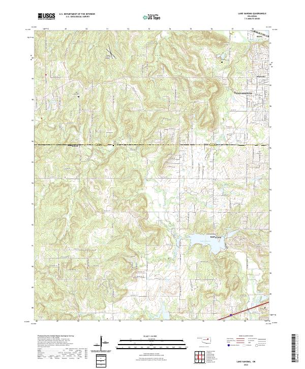 2022 Lake Sahoma2022 Print · USGSThe borderlands of Creek and Tulsa Counties come into focus here during the early 2020s, where suburban expansion meets rural landscapes. Genealogists and local historians can trace family locations through sites like Rock Creek Cem, Tiger Bone Cem, and the neighborhoods surrounding Lake Sahoma.
 - 2022 Map of Jennings, 2022 Print
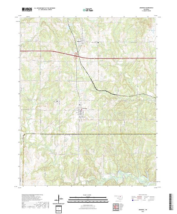 2022 Jennings2022 Print · USGSJennings and the surrounding Pawnee County landscape are captured here in the early twenty-first century, showing the rural grid and watercourse networks. Researchers can locate family landmarks like Bethany Cem or trace the paths of Lagoon Creek and House Cr.
 - 2022 Map of Keystone Dam, 2022 Print
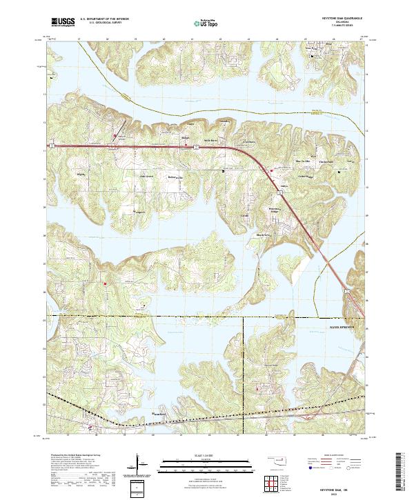 2022 Keystone Dam2022 Print · USGSThe intricate shoreline of Keystone Lake and the Arkansas River define this corner of Oklahoma in 2022. Researchers can trace local landmarks like Westport Airport, family burial sites at Prairie View Cem, and the layout of Mannford.
 - 2022 Map of Mannford SE, 2022 Print
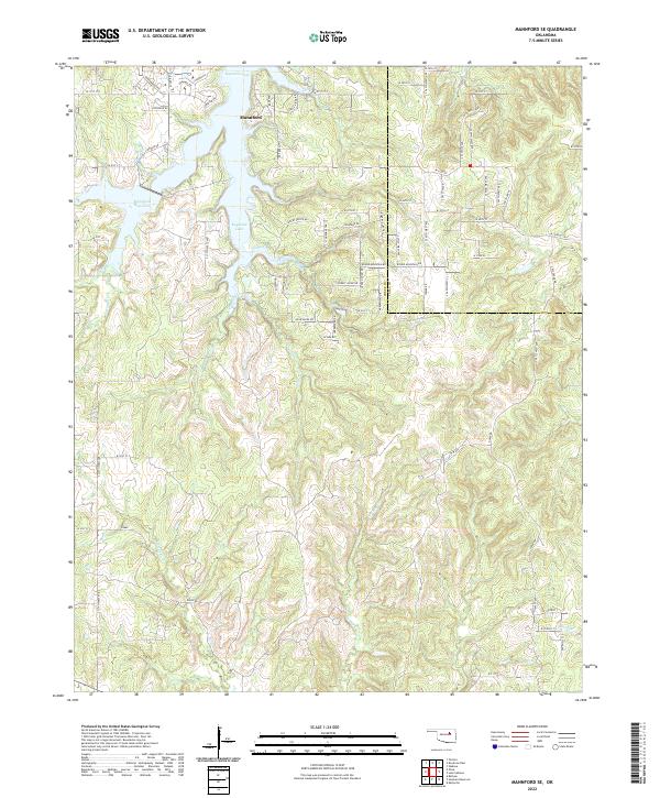 2022 Mannford SE2022 Print · USGSMannford and the shores of Keystone Lake are captured here in the early twenty-first century as the area continued to develop along the Creek and Tulsa County line. Local historians can trace family land via the township grids or follow the winding paths of Turkey Creek and Euchee Creek.
End of results
Showing maps 1-22 of 22
Top cities of Creek County
- Sapulpa historical maps
- Bristow historical maps
- Drumright historical maps
- Kiefer historical maps
- Mounds historical maps
- Oilton historical maps
See more
Frequently asked questions
- What are the different types of historical maps available for Creek County?
- What is the oldest map of Creek County?
- Where can I purchase historical maps of Creek County for my home or office?
- Where can I download high-res historical maps of Creek County?
- Are there historical topographic maps available for Creek County?
- Is there historical aerial imagery available for Creek County?
- Where are historical maps of Creek County sourced from?