2010s Maps of Creek County, Oklahoma
Explore 82 historic maps of Creek County from the 2010s. These maps offer a rare glimpse into what life looked like during the 2010s — showing old roads, neighborhoods, homes, and landmarks that have changed or disappeared over time.
Whether you're researching your family's past, planning a metal detecting trip, or studying how Creek County's landscape evolved across the 2010s, these high-resolution maps are a powerful tool for exploring the history of this region.
- Focus on a specific era: All maps on this page are from the 2010s, giving you a focused view of this time period.
- See what’s changed: Compare century-old streets, trails, and buildings to today's modern landscape using overlays and satellite layers.
- Research with precision: Use these maps for genealogy, historical research, land use analysis, or educational projects.
- View, download, or print: Maps are fully viewable online in high resolution, and can be downloaded or printed for your own records.
Start exploring Creek County's history through authentic maps from the 2010s. This is your window into the past.
Creek County, OK maps
(82)- 2010 Map of Sapulpa South, 2010 Print
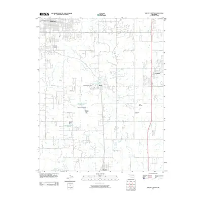 2010 Sapulpa South2010 Print · USGSCreek County south of the city is captured here during a period of modern growth and rural continuity. Researchers can trace family history at South Heights Cemetery or explore the landscape around Kiefer, Twin Mounds, and Mounds.
 - 2010 Map of Lake Sahoma, 2010 Print
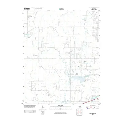 2010 Lake Sahoma2010 Print · USGSSapulpa and the surrounding Oklahoma countryside are captured here in the early twenty-first century, showing a landscape of reservoirs and rural aviation. Researchers can locate Post Oak Cemetery, trace the drainage of Euchee Creek, and find the Sahoma Lake Airport near the city's edge.
 - 2010 Map of Kiefer SW, 2010 Print
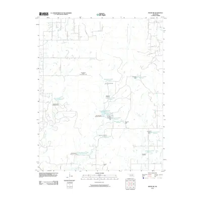 2010 Kiefer SW2010 Print · USGSCreek County at the start of the 2010s is a landscape of rural water management and family-named terrain. Researchers can trace the sophisticated network of flood control dams and reservoirs like Little Deep Fork Creek Site 54 Reservoir and the heights of Osage Hill.
 - 2010 Map of Nuyaka, 2010 Print
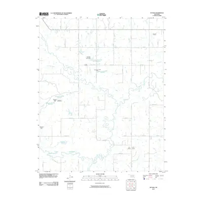 2010 Nuyaka2010 Print · USGSIn the early twenty-first century, this Okmulgee County landscape is defined by the winding Deep Fork and its complex system of oxbow lakes. Genealogists can locate several historic burial grounds here, including Old Nuyaka Cemetery, Tuskegee Cemetery, and Isparhecher Cemetery.
 - 2010 Map of Lake Boren, 2010 Print
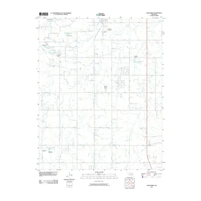 2010 Lake Boren2010 Print · USGSTulsa County at the start of the twenty-first century shows a landscape defined by prairie creeks and a growing residential grid. Researchers can trace family history at Oakwood Cemetery or locate landmarks like Lake Boren and Ragwing Acres Airport.
 - 2010 Map of Drumright, 2010 Print
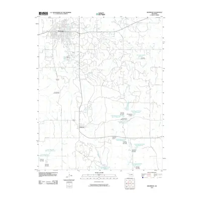 2010 Drumright2010 Print · USGSCreek County in the early twenty-first century reveals a landscape shaped by water management and rural ranching south of the historic oil town of Drumright. Genealogists and researchers can locate Shamrock Cemetery, the South Side Cemetery, and the Double Bar S Ranches Airport among the many reservoirs of the Little Deep Fork Creek system.
 - 2010 Map of Heyburn Reservoir, 2010 Print
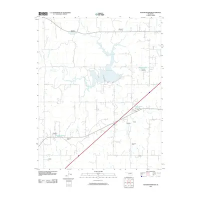 2010 Heyburn Reservoir2010 Print · USGSCreek County at the start of the decade shows a landscape shaped by the waters of Heyburn Lake and the path of Old Hwy 66. Researchers can trace family roots at Sunrise Cemetery or explore the area around Worman Junction and Neversweat Airport.
 - 2010 Map of Mannford SE, 2010 Print
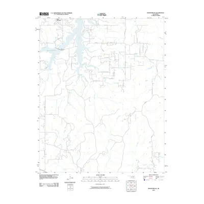 2010 Mannford SE2010 Print · USGSCreek County at the start of the 2010s shows a landscape transformed by the Mannford Reservoir and its modern road grid. Researchers can trace the development of New Mannford and follow the intricate drainages of Salt Creek and Tiger Creek across the territory.
 - 2010 Map of Keystone Dam, 2010 Print
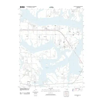 2010 Keystone Dam2010 Print · USGSThe convergence of the Arkansas and Cimarron Rivers defines this area in the early 2000s, showing a landscape shaped by the Keystone Dam. Trace local history through community labels like Mannford, Prue, and Westport, or locate family sites at Sinnett Cemetery and Leroy Cemetery.
 - 2010 Map of Gypsy, 2010 Print
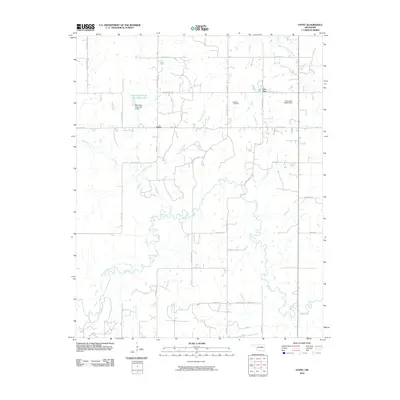 2010 Gypsy2010 Print · USGSCreek County, Oklahoma, is documented here in the early twenty-first century as a landscape of rural intersections and winding waterways. Researchers can trace local roots at Bucktrot Cemetery or locate the historic sites of Gypsy and Iron Post.
 - 2010 Map of Newby, 2010 Print
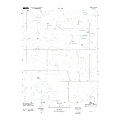 2010 Newby2010 Print · USGSCreek County at the start of the 2010s reveals a rural Oklahoma landscape defined by its complex reservoir system and quiet settlements. Genealogists and local historians can map out family sites at Tuskegee Cemetery and Wilson Cemetery or trace the managed waters of Jim Day Lake.
 - 2010 Map of Sapulpa North, 2010 Print
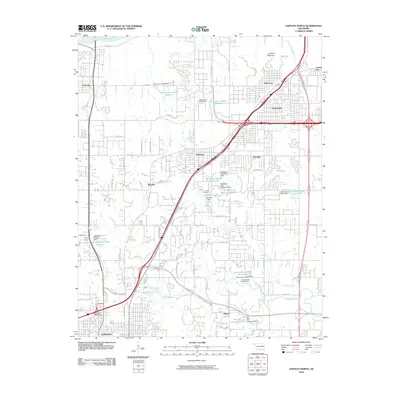 2010 Sapulpa North2010 Print · USGSSapulpa and the southern fringes of Tulsa are documented here during a period of significant suburban and industrial transition. You can trace the development of older settlements like Bowden and Red Fork alongside newer infrastructure like the Sapulpa Interchange and Camp Parthenia.
 - 2010 Map of Oilton, 2010 Print
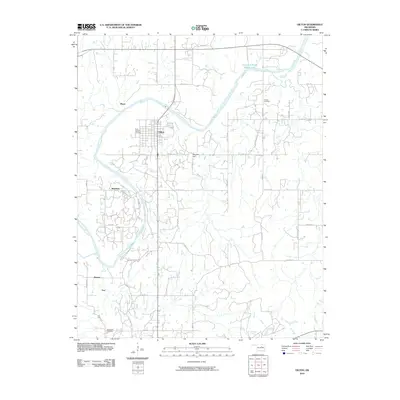 2010 Oilton2010 Print · USGSCreek County at the start of the 2010s shows a landscape of persistent rural settlements and winding river valleys. Genealogists and historians can trace the outskirts of Oilton and locate several burial sites like North Highland Cemetery and Brooks Cemetery.
 - 2010 Map of Ritts Junction, 2010 Print
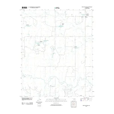 2010 Ritts Junction2010 Print · USGSCreek County at the start of the 2010s reveals a rural landscape defined by the winding Deep Fork river and a network of managed reservoirs. Researchers can locate several distinct burial grounds including Hosey Cemetery and Lane Cemetery near the settlements of Aron and Ritts Junction.
 - 2010 Map of Kellyville, 2010 Print
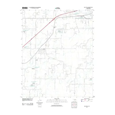 2010 Kellyville2010 Print · USGSKellyville and the surrounding Creek County countryside are shown here at the start of the 2010s. Researchers can locate the Felix Cemetery and trace the many reservoirs and small communities like Skagway, Jean, and Picket Prairie.
 - 2010 Map of Jennings, 2010 Print
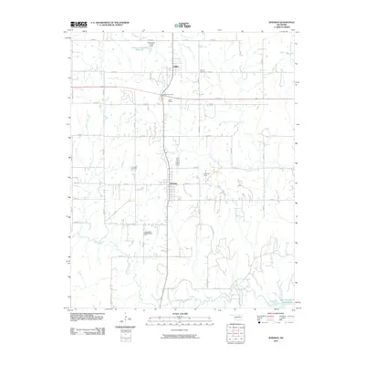 2010 Jennings2010 Print · USGSOklahoma's rural Pawnee County is captured here in the early twenty-first century, showing the small-town layouts of Jennings and Hallett. Researchers can locate local landmarks like the Jennings Cemetery and trace the paths of Lagoon Creek and the Cimarron Strip.
 - 2012 Map of Gypsy, 2012 Print
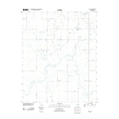 2012 Gypsy2012 Print · USGSCreek County at the start of the 2010s reveals a landscape of winding creek beds and rural settlements. Genealogists can locate family burial grounds including Hanna Brown Tiger Cem and Polly Long Cem near the banks of the Deep Fork.
 - 2012 Map of Ritts Junction, 2012 Print
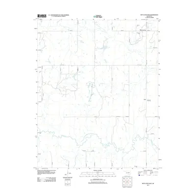 2012 Ritts Junction2012 Print · USGSCreek County’s rural landscape is captured here in the early twenty-first century, centered on the Deep Fork river. Genealogists and historians can locate numerous burial sites and crossroads communities like Ritts Junction, Aron, and the Micawber Cem.
 - 2012 Map of Newby, 2012 Print
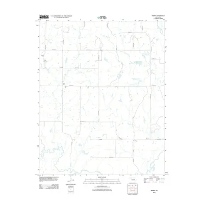 2012 Newby2012 Print · USGSCreek County at the start of the 2010s reveals a rural landscape defined by the winding Deep Fork river and a network of small settlements. Genealogists can trace family history through several local landmarks like Tuskegee Cem, Newby, and Mt Harman Cem.
 - 2012 Map of Nuyaka, 2012 Print
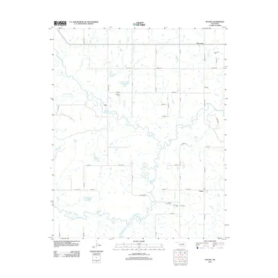 2012 Nuyaka2012 Print · USGSThe rural landscapes of Okmulgee County are captured here just over a decade ago, where the meandering Deep Fork meets a network of ancestral burial grounds. Genealogists can trace family sites at Old Nuyaka Cem and Isparhecher Cem near the historic settlements of Edna and Nuyaka.
 - 2012 Map of Mannford SE, 2012 Print
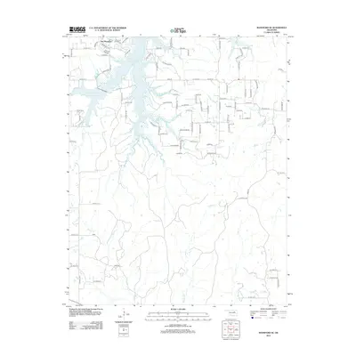 2012 Mannford SE2012 Print · USGSCreek County at the start of the 2010s shows a landscape defined by the Mannford Reservoir and a growing residential footprint. Researchers can trace local hydrology and shoreline developments like New Mannford and Pelican Point Pl along the banks of Salt Cr.
 - 2012 Map of Kiefer SW, 2012 Print
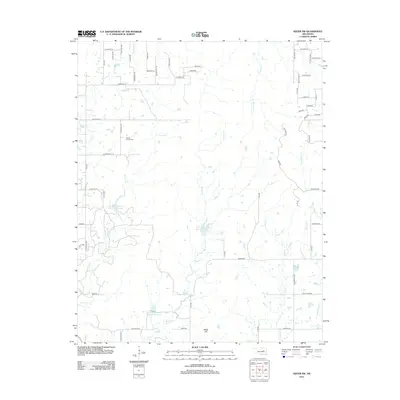 2012 Kiefer SW2012 Print · USGSCreek County southwest of Mounds comes into focus during the early twenty-first century, showing a landscape defined by creek drainage and rural homesteads. Genealogists and local historians can locate the Sewell Family Cem or trace the winding paths of Checkerboard Cr and Euchee Cr.
 - 2012 Map of Bellvue, 2012 Print
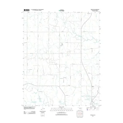 2012 Bellvue2012 Print · USGSCreek County at the start of the 2010s reveals a landscape of managed watersheds and rural crossroads centered on the settlement of Bellvue. Family historians can pinpoint local landmarks like the Johnson Cem, Harlinsville Cem, and the uniquely named Hoot Owl Hollow.
 - 2012 Map of Lake Boren, 2012 Print
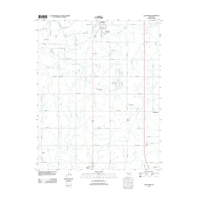 2012 Lake Boren2012 Print · USGSThe Okmulgee County countryside near Mounds and Beggs appears here in the early 2010s. Researchers can locate family roots at New Post Oak Cem and New Bethel Cem or trace the rural drainage of Salt Cr and Eagle Cr.
 - 2012 Map of Bristow, 2012 Print
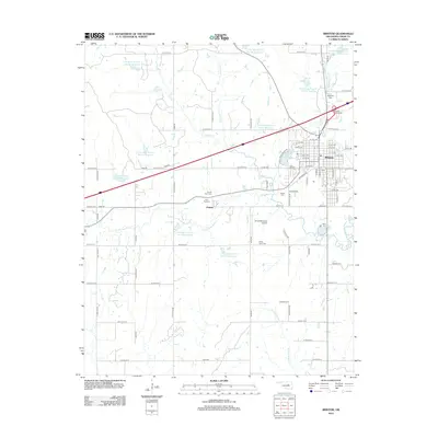 2012 Bristow2012 Print · USGSCreek County at the start of the 2010s shows a landscape of established townships and extensive water management. Researchers can locate many local burial sites like Magnolia Cem and Poor Boy Cem, alongside the grid of Bristow and the nearby Pulaski settlement.
Showing maps 1-25 of 82
Top cities of Creek County
- Sapulpa historical maps
- Bristow historical maps
- Drumright historical maps
- Kiefer historical maps
- Mounds historical maps
- Oilton historical maps
See more
Frequently asked questions
- What are the different types of historical maps available for Creek County?
- What is the oldest map of Creek County?
- Where can I purchase historical maps of Creek County for my home or office?
- Where can I download high-res historical maps of Creek County?
- Are there historical topographic maps available for Creek County?
- Is there historical aerial imagery available for Creek County?
- Where are historical maps of Creek County sourced from?