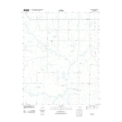
2012 Map of Nuyaka
USGS Topo · Published 2012About this map
Deep Fork meanders through the southern half of this landscape, its complex oxbows and floodplains defining a terrain marked by numerous water bodies like Flag Lake, Brushy Lake, and Saumill Lake. This Okmulgee County region preserves a high density of ancestral sites, including the Isparhecher Cem and the Barnes Family Cem, alongside the small settlements of Dentonville, Edna, and Nuyaka.
Find a feature on this map
52 named features on this map. Tap any name to fly to it.
Don’t see what you’re looking for? This feature index may not catch every label — zoom into the map to look around manually.
Map Details
Editions of this 2012 Nuyaka Map
This is the sole edition of this map. No revisions or reprints were ever made.
Other maps of this area

1901 · Nuyaka
USGS Topo · 1:125,000

1914 · Kiefer
USGS Topo · 1:62,500

1916 · Kiefer
USGS Topo · 1:62,500

1916 · Bristow
USGS Topo · 1:62,500

1954 · Oklahoma City
USGS Topo · 1:250,000

1957 · Oklahoma City
USGS Topo · 1:250,000

1963 · Oklahoma City
USGS Topo · 1:250,000
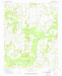
1973 · Nuyaka
USGS Topo · 1:24,000
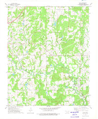
1973 · Slick
USGS Topo · 1:24,000
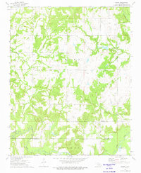
1973 · Newby
USGS Topo · 1:24,000