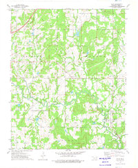
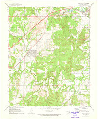
1973 Map of Slick
USGS Topo · Published 1975About this map
The town of Slick and the surrounding Creek County countryside are defined by a complex network of energy infrastructure and historical transport routes in the early 1970s. The landscape is heavily marked by an extensive Oil Field and an Oil and Gas Field to the southeast, with numerous pipelines cutting across the terrain. This industrial activity is contrasted by the winding path of Little Deep Fork Creek and its tributaries like Chicken Creek and Morgan Creek.
Find a feature on this map
19 named features on this map. Tap any name to fly to it.
Don’t see what you’re looking for? This feature index may not catch every label — zoom into the map to look around manually.
Map Details
Editions of this 1973 Slick Map
2 editions found
Other maps of this area

1901 · Nuyaka
USGS Topo · 1:125,000

1914 · Kiefer
USGS Topo · 1:62,500

1916 · Kiefer
USGS Topo · 1:62,500

1916 · Bristow
USGS Topo · 1:62,500

1954 · Oklahoma City
USGS Topo · 1:250,000

1957 · Oklahoma City
USGS Topo · 1:250,000

1963 · Oklahoma City
USGS Topo · 1:250,000
1971 · Bellvue
USGS Topo · 1:24,000
1971 · Lake Heyburn
USGS Topo · 1:24,000
1972 · Kellyville
USGS Topo · 1:24,000