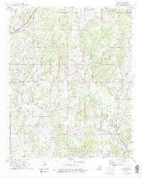
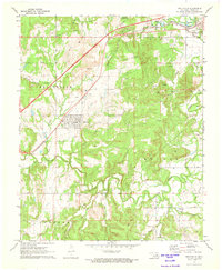
1973 Map of Slick
USGS Topo · Published 1975About this map
The town of Slick and the surrounding Creek County landscape in the early 1970s are defined by a complex network of energy infrastructure and rural tradition. Extensive Oil Fields and a web of pipelines dominate the terrain, reflecting the region's industrial backbone alongside meandering waterways like Little Deep Fork Creek. The map documents a transition in transportation, showing both the modern Turner Toll Road and remnants of the past, such as the Old Railroad Grade and the St Louis-San Francisco line. For the genealogist and local historian, several community hubs are preserved here, including the Choska Church, Land Mark Ch, and Falls Cem. The settlement at Tabor and various unnamed cemeteries provide specific points of interest for tracing family sites within the townships of Bristow and Euchee.
Find a feature on this map
22 named features on this map. Tap any name to fly to it.
Don’t see what you’re looking for? This feature index may not catch every label — zoom into the map to look around manually.
Map Details
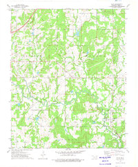
Editions of this 1973 Slick Map
2 editions found
Other maps of this area

1901 · Nuyaka
USGS Topo · 1:125,000

1914 · Kiefer
USGS Topo · 1:62,500

1916 · Kiefer
USGS Topo · 1:62,500

1916 · Bristow
USGS Topo · 1:62,500

1954 · Oklahoma City
USGS Topo · 1:250,000

1957 · Oklahoma City
USGS Topo · 1:250,000

1963 · Oklahoma City
USGS Topo · 1:250,000
1971 · Bellvue
USGS Topo · 1:24,000
1971 · Lake Heyburn
USGS Topo · 1:24,000
1972 · Kellyville
USGS Topo · 1:24,000