2000s (21st Century) Maps of Creek County, Oklahoma
Explore 110 historic maps of Creek County from the 2000s (21st Century). These maps offer a rare glimpse into what life looked like during the 2000s — showing old roads, neighborhoods, homes, and landmarks that have changed or disappeared over time.
Whether you're researching your family's past, planning a metal detecting trip, or studying how Creek County's landscape evolved across the 2000s, these high-resolution maps are a powerful tool for exploring the history of this region.
- Focus on a specific era: All maps on this page are from the 2000s, giving you a focused view of this time period.
- See what’s changed: Compare century-old streets, trails, and buildings to today's modern landscape using overlays and satellite layers.
- Research with precision: Use these maps for genealogy, historical research, land use analysis, or educational projects.
- View, download, or print: Maps are fully viewable online in high resolution, and can be downloaded or printed for your own records.
Start exploring Creek County's history through authentic maps from the 2000s. This is your window into the past.
Creek County, OK maps
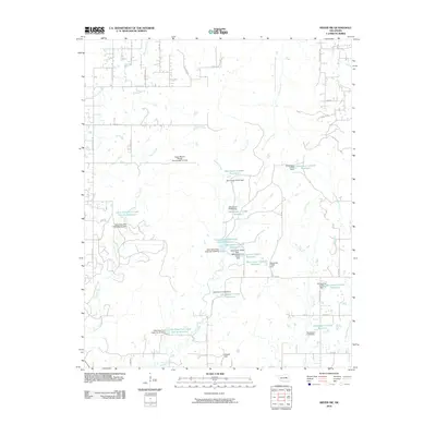
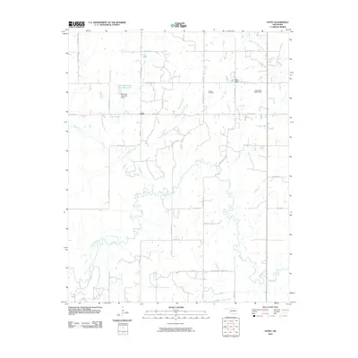
(110)- 2009 Map of Depew, 2009 Print
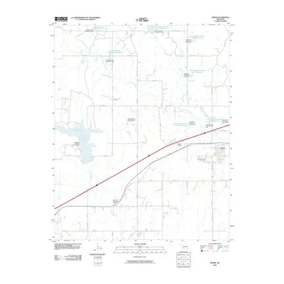 2009 Depew2009 Print · USGSCovers Creek County, including Depew, Stroud, and other nearby areas
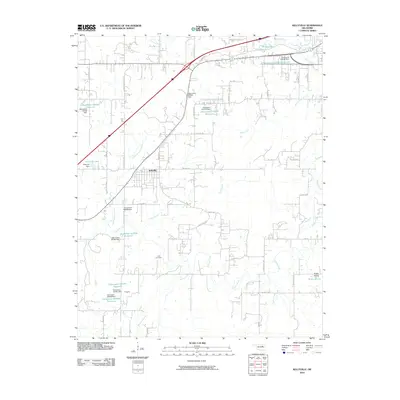
 - 2009 Map of Bellvue, 2009 Print
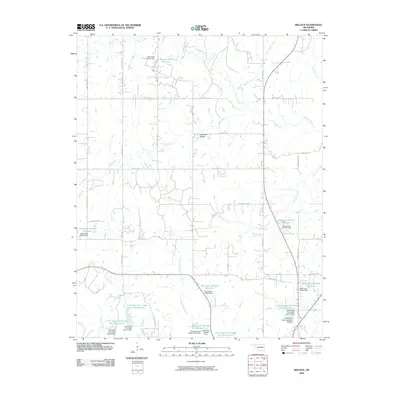 2009 Bellvue2009 Print · USGSCovers Creek County, including Bellvue, United States, and other nearby areas
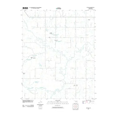
 - 2009 Map of Bristow, 2009 Print
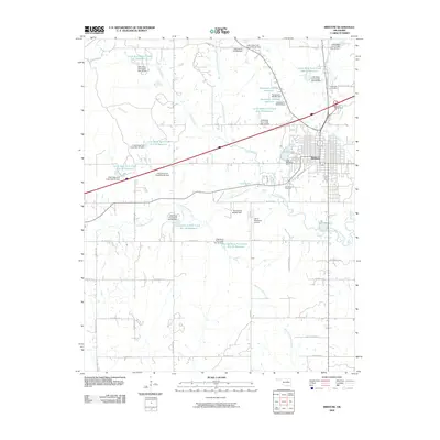 2009 Bristow2009 Print · USGSCovers Creek County, including Bristow, Depew, and other nearby areas
 - 2009 Map of Terlton, 2009 Print
 2009 Terlton2009 Print · USGSCovers Creek County, including Westport, Terlton, and other nearby areas
 - 2009 Map of Slick, 2009 Print
 2009 Slick2009 Print · USGSCovers Creek County, including Bristow, Slick, and other nearby areas
 - 2009 Map of Olive, 2009 Print
 2009 Olive2009 Print · USGSCovers Creek County, including Lawrence Creek, Silver City, and other nearby areas
 - 2010 Map of Sapulpa South, 2010 Print
 2010 Sapulpa South2010 Print · USGSCovers Creek County, including Sapulpa, Jenks, and other nearby areas
 - 2010 Map of Lake Sahoma, 2010 Print
 2010 Lake Sahoma2010 Print · USGSCovers Creek County, including Sapulpa, Sand Springs, and other nearby areas
 - 2010 Map of Kiefer SW, 2010 Print
 2010 Kiefer SW2010 Print · USGSCovers Creek County, including Mounds, Okmulgee County, and other nearby areas
 - 2010 Map of Nuyaka, 2010 Print
 2010 Nuyaka2010 Print · USGSCovers Creek County, including Nuyaka, Edna, and other nearby areas
 - 2010 Map of Lake Boren, 2010 Print
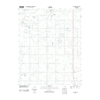 2010 Lake Boren2010 Print · USGSCovers Creek County, including Glenpool, Beggs, and other nearby areas
 - 2010 Map of Drumright, 2010 Print
 2010 Drumright2010 Print · USGSCovers Creek County, including Drumright, Shamrock, and other nearby areas
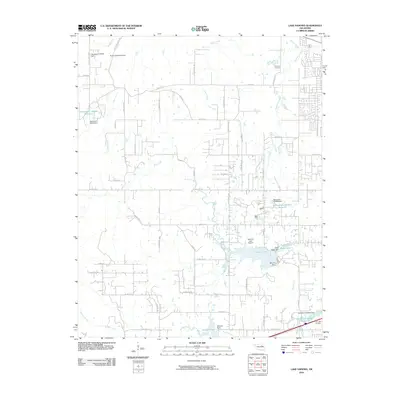
 - 2010 Map of Heyburn Reservoir, 2010 Print
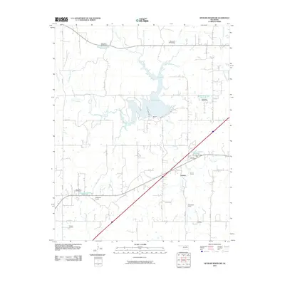 2010 Heyburn Reservoir2010 Print · USGSCovers Creek County, including Kellyville, Heyburn, and other nearby areas
 - 2010 Map of Mannford SE, 2010 Print
 2010 Mannford SE2010 Print · USGSCovers Creek County, including Mannford, Tulsa County, and other nearby areas
 - 2010 Map of Keystone Dam, 2010 Print
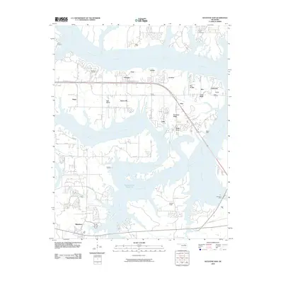 2010 Keystone Dam2010 Print · USGSCovers Creek County, including Sand Springs, Sand Creek, and other nearby areas
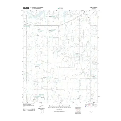
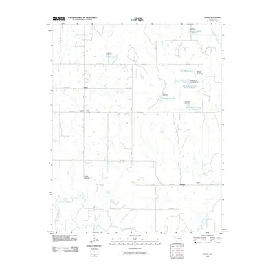
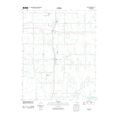
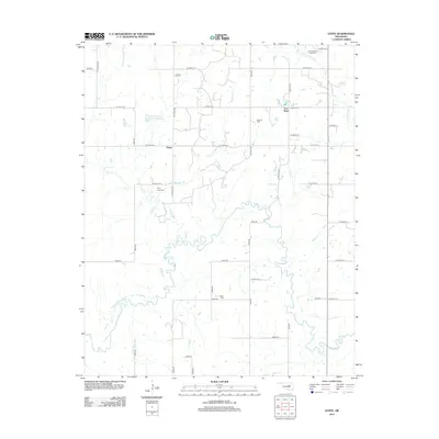
 - 2010 Map of Gypsy, 2010 Print
 2010 Gypsy2010 Print · USGSCovers Creek County, including Iron Post, Gypsy, and other nearby areas
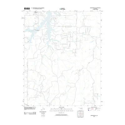
 - 2010 Map of Newby, 2010 Print
 2010 Newby2010 Print · USGSCovers Creek County, including Tuskegee, Newby, and other nearby areas
 - 2010 Map of Sapulpa North, 2010 Print
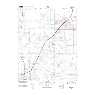 2010 Sapulpa North2010 Print · USGSCovers Creek County, including Tulsa, Sapulpa, and other nearby areas
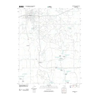
 - 2010 Map of Oilton, 2010 Print
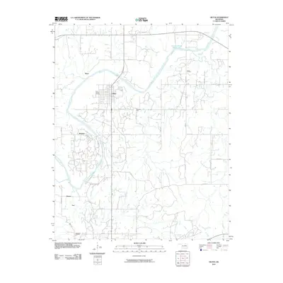 2010 Oilton2010 Print · USGSCovers Creek County, including Drumright, Oilton, and other nearby areas
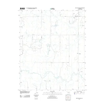
 - 2010 Map of Ritts Junction, 2010 Print
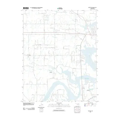
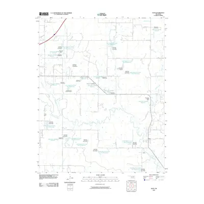
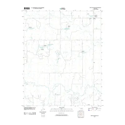 2010 Ritts Junction2010 Print · USGSCovers Creek County, including Aron, Stroud, and other nearby areas
 - 2010 Map of Kellyville, 2010 Print
 2010 Kellyville2010 Print · USGSCovers Creek County, including Sapulpa, Mounds, and other nearby areas
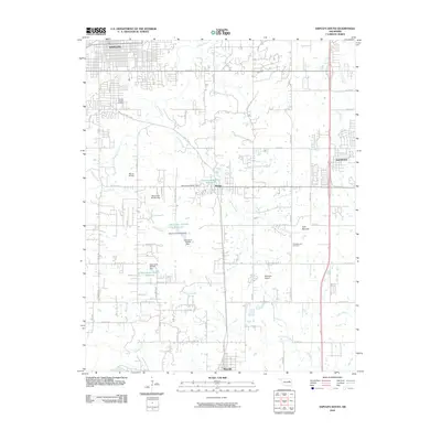
 - 2010 Map of Jennings, 2010 Print
 2010 Jennings2010 Print · USGSCovers Creek County, including Jennings, Hallett, and other nearby areas
 - 2012 Map of Gypsy, 2012 Print
 2012 Gypsy2012 Print · USGSCovers Creek County, including Iron Post, Gypsy, and other nearby areas
 - 2012 Map of Ritts Junction, 2012 Print
 2012 Ritts Junction2012 Print · USGSCovers Creek County, including Aron, Stroud, and other nearby areas
 - 2012 Map of Newby, 2012 Print
 2012 Newby2012 Print · USGSCovers Creek County, including Tuskegee, Newby, and other nearby areas
Showing maps 1-25 of 110
Top cities of Creek County
- Sapulpa historical maps
- Bristow historical maps
- Drumright historical maps
- Kiefer historical maps
- Mounds historical maps
- Oilton historical maps
See more
Frequently asked questions
- What are the different types of historical maps available for Creek County?
- What is the oldest map of Creek County?
- Where can I purchase historical maps of Creek County for my home or office?
- Where can I download high-res historical maps of Creek County?
- Are there historical topographic maps available for Creek County?
- Is there historical aerial imagery available for Creek County?
- Where are historical maps of Creek County sourced from?