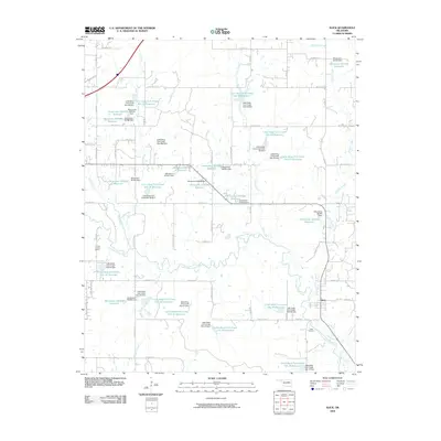
2009 Map of Slick
USGS Topo · Published 2009About this map
Slick serves as the primary hub in this corner of Creek County, sitting at the junction of State Highway 16 and N 3790 RD. The surrounding landscape is defined by an extensive water management system along the Little Deep Fork Creek and its many tributaries, including Skull Creek, Chicken Creek, and Rock Creek. This network of small reservoirs and dams, such as Little Deep Fork Creek Site 37 Reservoir and several Oknoname reservoirs, suggests a managed agrarian environment focused on flood control and livestock watering.
Find a feature on this map
82 named features on this map. Tap any name to fly to it.
Don’t see what you’re looking for? This feature index may not catch every label — zoom into the map to look around manually.
Map Details
Editions of this 2009 Slick Map
This is the sole edition of this map. No revisions or reprints were ever made.
Other maps of this area

1901 · Nuyaka
USGS Topo · 1:125,000

1914 · Kiefer
USGS Topo · 1:62,500

1916 · Kiefer
USGS Topo · 1:62,500

1916 · Bristow
USGS Topo · 1:62,500

1954 · Oklahoma City
USGS Topo · 1:250,000

1957 · Oklahoma City
USGS Topo · 1:250,000

1963 · Oklahoma City
USGS Topo · 1:250,000
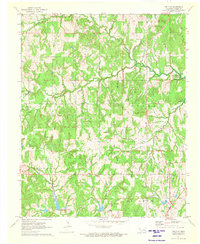
1971 · Bellvue
USGS Topo · 1:24,000
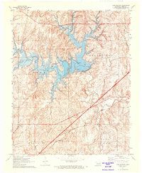
1971 · Lake Heyburn
USGS Topo · 1:24,000
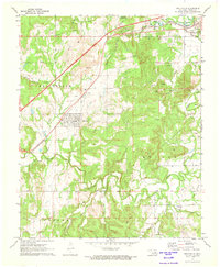
1972 · Kellyville
USGS Topo · 1:24,000