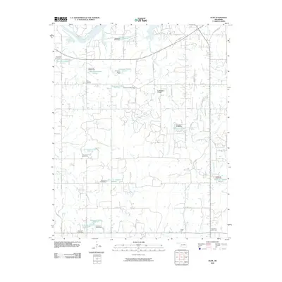
2009 Map of Olive
USGS Topo · Published 2009About this map
Lawrence Creek sits at the heart of this Creek County landscape, where the northern bend of the Cimarron River gives way to a dense network of tributaries and small impoundments. The terrain is defined by its water management, evidenced by numerous numbered reservoirs and dams such as Oknoname 037010 Dam and Oknoname 037004 Dam. This system of catchment serves the surrounding rural acreage, which is organized by a precise grid of section-line roads like W 51st St S and W 81st St S.
Find a feature on this map
50 named features on this map. Tap any name to fly to it.
Don’t see what you’re looking for? This feature index may not catch every label — zoom into the map to look around manually.
Map Details
Editions of this 2009 Olive Map
This is the sole edition of this map. No revisions or reprints were ever made.
Other maps of this area

1901 · Nuyaka
USGS Topo · 1:125,000

1912 · Hominy
USGS Topo · 1:125,000

1915 · Hominy
USGS Topo · 1:125,000

1916 · Bristow
USGS Topo · 1:62,500

1929 · Yale
USGS Topo · 1:62,500

1931 · Drumright
USGS Topo · 1:62,500

1932 · Yale
USGS Topo · 1:62,500

1954 · Oklahoma City
USGS Topo · 1:250,000

1955 · Enid
USGS Topo · 1:250,000

1957 · Oklahoma City
USGS Topo · 1:250,000