Old Maps of Leach, Oklahoma for Hiking & Exploration
Hike through history with 13 historic maps of Leach. Explore old trails, ghost towns, and forgotten backroads — perfect for outdoor adventurers and local explorers.
- Rediscover forgotten places: Map out old mining camps, roads, and footpaths that no longer exist on modern maps.
- Layer with modern tools: Combine with LiDAR or satellite views to plan hikes through historical terrain.
- Made for exploration: Popular among hikers, overlanders, and local history lovers.
Use these maps to find adventure and explore the hidden past of Leach.
Leach, OK maps
(13)- 1899 Map of Siloam Springs, 1954 Print
 1899 Siloam Springs1954 Print · USGSThe borderlands of the Cherokee Nation and Northwest Arkansas come alive in this late nineteenth-century survey. Genealogists can trace early homesteads and community life through Shoaps Store, Round Spring Church, and the settlement of Maysville.
 - 1903 Map of Siloam Springs, 1904 Print
 1903 Siloam Springs1904 Print · USGSThe border of Arkansas and the Cherokee Nation comes to life in this survey from the turn of the century. Genealogists and historians can trace the early layout of Siloam Springs or locate small landmarks like Shoaps Store and Round Spring Church.
 - 1904 Map of Siloam Springs
 1904 Siloam Springs1904 Print · USGSThe Arkansas and Indian Territory borderlands are captured here at the turn of the century, prior to Oklahoma statehood. Researchers can trace the early layout of Siloam Springs and locate vanished landmarks like Shoaps Store or the Round Spring Church.7 unique versions available
 - 1954 Map of Tulsa
 1954 Tulsa1954 Print · USGSNortheast Oklahoma and the Ozark border are shown here during a period of massive industrial and infrastructure growth. Researchers can trace the legacy of the Tri-State Mining District and the development of major reservoirs like Grand Lake O' The Cherokees.2 unique versions available
 - 1958 Map of Tulsa, 1968 Print
 1958 Tulsa1968 Print · USGSNortheast Oklahoma and the Ozark borderlands are captured here during a massive era of reservoir construction and highway expansion. Researchers can trace the mid-century footprints of Tulsa, the sprawling Lake O' the Cherokees, and historical sites like Pea Ridge National Military Park.3 unique versions available
 - 1963 Map of Tulsa
 1963 Tulsa1963 Print · USGSThe Oklahoma and Arkansas borderlands are shown here in the early sixties, a time of massive reservoir construction and heavy mining. Genealogists can trace family roots through settlements like Nowata, Pryor, and Jay, or locate historical zinc and lead mines and coal mines.
 - 1972 Map of Leach, 1974 Print
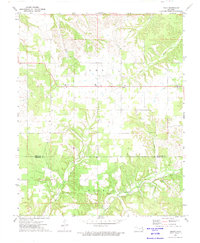 1972 Leach1974 Print · USGSNortheastern Oklahoma's rural landscape comes into focus during the early seventies, centered on the community of Leach. Genealogists and local historians can trace old community hubs at Lowery Cem, Leach Sch, and the river crossing at Rockyford Ford.2 unique versions available
 - 1979 Map of Fayetteville, 1980 Print
 1979 Fayetteville1980 Print · USGSNorthwest Arkansas and the tristate corner show a booming corridor of rail-linked towns and highland forests in the late seventies. Researchers can trace historic landmarks like Pea Ridge National Military Park, the Frisco RR, and the University of Arkansas.2 unique versions available
 - 2010 Map of Leach, 2010 Print
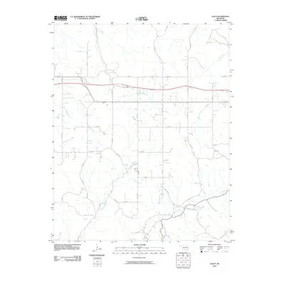 2010 Leach2010 Print · USGSDelaware County at the start of the 2010s reveals a quiet landscape of rural homesteads and winding Ozark streams. Genealogists and local historians can trace family properties along Saline Creek, Double Spring Creek, and the historical N Old Toll Gate Rd.
 - 2012 Map of Leach, 2012 Print
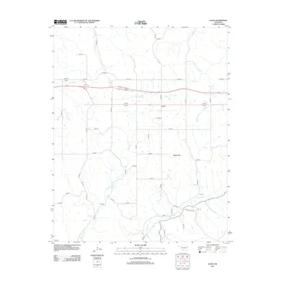 2012 Leach2012 Print · USGSLeach and its surrounding creek valleys are shown in detail during the early twenty-first century, reflecting a landscape defined by its waterways. Researchers can trace family history at Batt Cem or explore the route of N Old Toll Gate Rd near Rocky Ford.
 - 2016 Map of Leach, 2016 Print
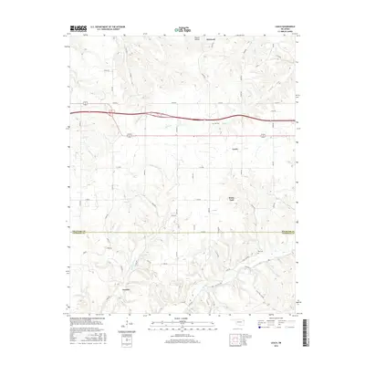 2016 Leach2016 Print · USGSThe foothills of northeast Oklahoma are captured here in the mid-2010s, showing the rural communities along the Delaware and Cherokee county line. Researchers can trace local heritage through the Batt Cemetery and Elm Cemetery or follow the paths of Saline Creek and N Old Toll Gate Road.
 - 2018 Map of Leach, 2018 Print
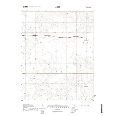 2018 Leach2018 Print · USGSNortheastern Oklahoma's rural landscapes are shown in high detail at the end of the 2010s. Genealogists can locate specific local burial sites such as Batt Cem and Elm Cem near the communities of Leach and Rocky Ford.
 - 2022 Map of Leach, 2022 Print
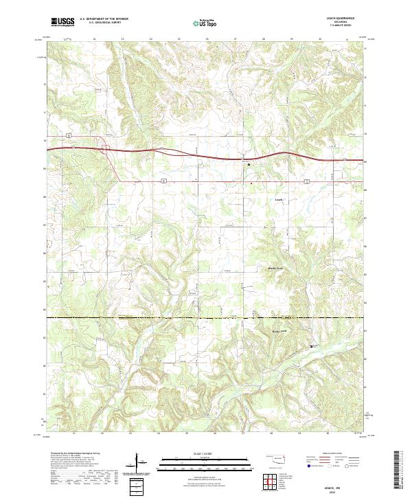 2022 Leach2022 Print · USGSLeach and the Delaware-Cherokee county line are captured here in the early twenty-first century as part of a rural landscape shaped by the Ozark foothills. Researchers can trace family sites like Batt Cemetery and Elm Cem near Rocky Ford and Spring Cr.
End of results
Showing maps 1-13 of 13
Top cities near Leach
- Jay historical maps
- Salina historical maps
- Colcord historical maps
- Kansas historical maps
- Spavinaw historical maps
- Strang historical maps
See more
Frequently asked questions
- What are the different types of historical maps available for Leach?
- What is the oldest map of Leach?
- Where can I purchase historical maps of Leach for my home or office?
- Where can I download high-res historical maps of Leach?
- Are there historical topographic maps available for Leach?
- Is there historical aerial imagery available for Leach?
- Where are historical maps of Leach sourced from?