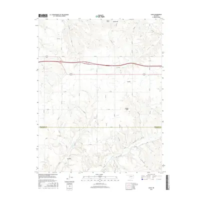
2016 Map of Leach
USGS Topo · Published 2016About this map
Leach and Kenwood anchor this part of the Ozark plateau foothills along the border of Delaware and Cherokee Counties. The landscape is defined by the winding drainages of Saline Creek and Double Spring Creek, which cut through the varied elevations of Proctor Hollow. In the southern reaches, the settlement of Teresita sits near Spring Creek, a region where the road network transitions from formal numbered routes like State Highway 82 to more descriptive paths such as N Old Toll Gate Road. This survey documents a quiet rural corridor where small family-named landmarks, including the Batt Cemetery and Elm Cemetery, remain preserved amidst the timbered hills and creek bottoms. The spatial relationship between the small communities of Rocky Ford and Leach highlights a persistent settlement pattern tied to the local watercourses and narrow valley floors.
Find a feature on this map
37 named features on this map. Tap any name to fly to it.
Don’t see what you’re looking for? This feature index may not catch every label — zoom into the map to look around manually.
Map Details
Editions of this 2016 Leach Map
This is the sole edition of this map. No revisions or reprints were ever made.
Other maps of this area

1896 · Pryor
USGS Topo · 1:125,000

1899 · Siloam Springs
USGS Topo · 1:125,000

1901 · Pryor
USGS Topo · 1:125,000

1903 · Siloam Springs
USGS Topo · 1:125,000

1904 · Siloam Springs
USGS Topo · 1:125,000

1954 · Tulsa
USGS Topo · 1:250,000

1958 · Tulsa
USGS Topo · 1:250,000

1963 · Tulsa
USGS Topo · 1:250,000

1971 · Kenwood
USGS Topo · 1:24,000

1971 · Jay SE
USGS Topo · 1:24,000