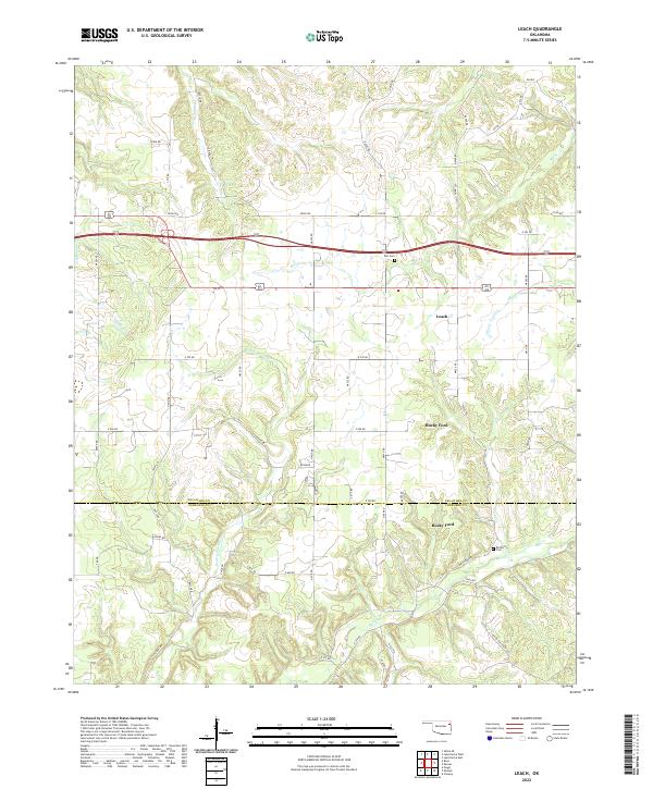
2022 Map of Leach
USGS Topo · Published 2022About this map
Leach and Rocky Ford anchor this rural landscape in northeastern Oklahoma, where the terrain is deeply defined by the drainage systems of the Ozark foothills. The map reveals a high density of named watercourses, including Saline Cr, Snake Cr, and Double Spring Cr, which carve through the countryside. Genealogists will find particular value in the documentation of several family-named and local burial sites, such as the Batt Cemetery, Bill Batt Cem, and Elm Cem. The network of section line roads, from E 550 RD to N 550 RD, overlays the natural topography, illustrating how modern transportation and land division have adapted to the area's ancient creek beds and winding valleys.
Find a feature on this map
53 named features on this map. Tap any name to fly to it.
Don’t see what you’re looking for? This feature index may not catch every label — zoom into the map to look around manually.
Map Details
Editions of this 2022 Leach Map
This is the sole edition of this map. No revisions or reprints were ever made.
Other maps of this area

1896 · Pryor
USGS Topo · 1:125,000

1899 · Siloam Springs
USGS Topo · 1:125,000

1901 · Pryor
USGS Topo · 1:125,000

1903 · Siloam Springs
USGS Topo · 1:125,000

1904 · Siloam Springs
USGS Topo · 1:125,000

1954 · Tulsa
USGS Topo · 1:250,000

1958 · Tulsa
USGS Topo · 1:250,000

1963 · Tulsa
USGS Topo · 1:250,000

1971 · Kenwood
USGS Topo · 1:24,000

1971 · Jay SE
USGS Topo · 1:24,000