Old Maps of Geary, Oklahoma for Hiking & Exploration
Hike through history with 26 historic maps of Geary. Explore old trails, ghost towns, and forgotten backroads — perfect for outdoor adventurers and local explorers.
- Rediscover forgotten places: Map out old mining camps, roads, and footpaths that no longer exist on modern maps.
- Layer with modern tools: Combine with LiDAR or satellite views to plan hikes through historical terrain.
- Made for exploration: Popular among hikers, overlanders, and local history lovers.
Use these maps to find adventure and explore the hidden past of Geary.
Geary, OK maps
(26)- 1893 Map of Fort Reno
 1893 Fort Reno1893 Print · USGSCentral Oklahoma's frontier landscape is documented here in the final decade of the nineteenth century. Genealogists and historians can locate the Darlington Agency, the early enclave of African City, and the military post at Fort Reno.2 unique versions available
 - 1941 Map of Fort Reno
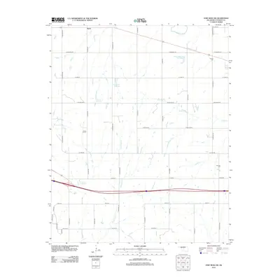
 1941 Fort Reno1941 Print · USGSThe North Canadian River valley was a center of agricultural and military life in the late thirties. Genealogists can trace family footprints across dozens of country schools and churches like Sunny Hill Sch, Swappingback Indian Chapel, and the historic Fort Reno grounds.3 unique versions available
 - 1942 Map of Fort Reno
 1942 Fort Reno1942 Print · USGSOklahoma's Canadian County plains come alive in this early-forties survey, showcasing a landscape defined by military depots and tribal schools. Researchers can trace rural lineages through dozens of local sites like Banner Sch, Canadian Valley Cem, and the Fort Reno garrison.
 - 1942 Map of Geary
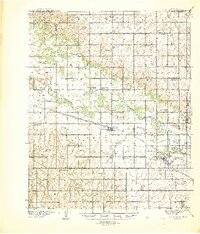
 1942 Geary1942 Print · USGSCentral Oklahoma's agrarian heartland comes alive in this pre-war survey of the winding Canadian River valley. Genealogists and local historians can map out dozens of rural school sites like Victor Sch and Richland Sch alongside the busy Chicago Rock Island and Pacific rail line.3 unique versions available
 - 1949 Map of Fort Reno
 1949 Fort Reno1949 Print · USGSOklahoma's Canadian County comes to life in this mid-century survey, capturing the unique intersection of military history, tribal education, and Route 66 commerce. Genealogists can locate family landmarks like Swappingback Indian Chapel, Calumet, and the expansive Fort Reno Military Reservation.
 - 1955 Map of Clinton, 1964 Print
 1955 Clinton1964 Print · USGSWestern Oklahoma during the mid-century transition shows a landscape of growing reservoirs and active military flight lines. Genealogists and historians can locate rural landmarks such as Mountain View Church, Berlin School, and the Riverside Indian School Reserve.3 unique versions available
 - 1957 Map of Clinton
 1957 Clinton1957 Print · USGSWestern Oklahoma in the mid-fifties is captured here as a landscape of river-valley settlements and emerging energy fields. Genealogists can trace family roots through numerous rural landmarks like the Swapping Back Indian School, Hebron Church, and the Riverside Indian School Reserve.
 - 1967 Map of Fort Reno SW, 1969 Print
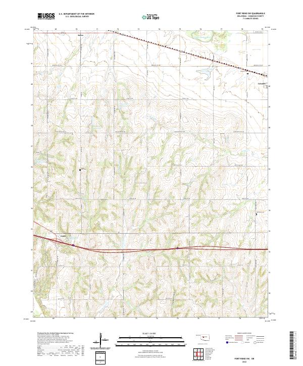
 1967 Fort Reno SW1969 Print · USGSCanadian County, Oklahoma, in the late sixties shows a transition from river valley farming to a landscape dotted with the energy industry. Researchers can trace rural school locations like Maple Sch, the Rock Island rail corridor, and local burial sites at Sunny Hill Cem.
 - 1979 Map of Geary North
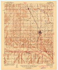
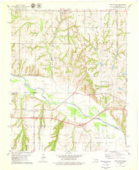
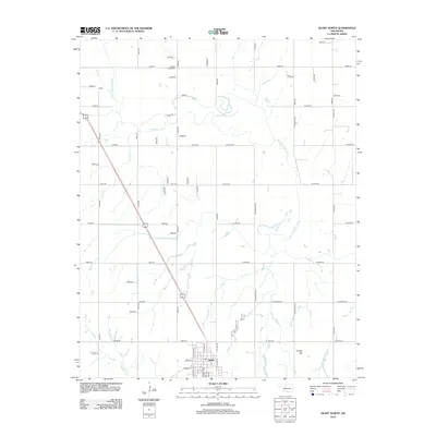
 1979 Geary North1979 Print · USGSSettlement in Blaine County and Canadian County during the late 1970s is centered around the rail hub of Geary. Trace the diagonal route of the Chicago Rock Island and Pacific or locate rural landmarks like Grandview Ch and Left Hand Spring.
 - 1979 Map of Geary South
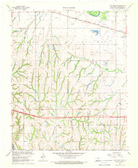
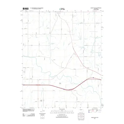
 1979 Geary South1979 Print · USGSThe Canadian River valley in the late seventies reveals a landscape shaped by rail, river, and rural industry. Researchers can trace the Chicago Rock Island and Pacific rail lines, the Old Railroad Grade, and local sites like Graceland Cem and Hinton Junction.2 unique versions available
 - 1985 Map of Watonga
 1985 Watonga1985 Print · USGSCentral Oklahoma in the mid-eighties shows a robust network of river-valley settlements and rural rail lines. Genealogists and historians can trace the footprint of Southwestern State College, the historic Fort Reno, and family-named landmarks like Dead Women Crossing.2 unique versions available
 - 2009 Map of Fort Reno SW, 2009 Print
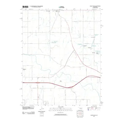
 2009 Fort Reno SW2009 Print · USGSCovers Geary, including Calumet, Karns, and other nearby areas
 - 2009 Map of Geary North, 2009 Print
 2009 Geary North2009 Print · USGSCovers Geary, including Greenfield, Canadian County, and other nearby areas
 - 2010 Map of Geary South, 2010 Print
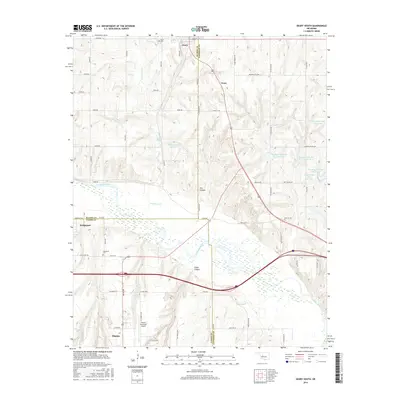
 2010 Geary South2010 Print · USGSCovers Geary, including Hinton, Bridgeport, and other nearby areas
 - 2012 Map of Geary North, 2012 Print
 2012 Geary North2012 Print · USGSCovers Geary, including Greenfield, Canadian County, and other nearby areas
 - 2012 Map of Fort Reno SW, 2012 Print
 2012 Fort Reno SW2012 Print · USGSCovers Geary, including Calumet, Karns, and other nearby areas
 - 2012 Map of Geary South, 2012 Print
 2012 Geary South2012 Print · USGSCovers Geary, including Hinton, Bridgeport, and other nearby areas
 - 2016 Map of Geary North, 2016 Print
 2016 Geary North2016 Print · USGSCovers Geary, including Greenfield, Canadian County, and other nearby areas
 - 2016 Map of Fort Reno SW, 2016 Print
 2016 Fort Reno SW2016 Print · USGSCovers Geary, including Calumet, Karns, and other nearby areas
 - 2016 Map of Geary South, 2016 Print
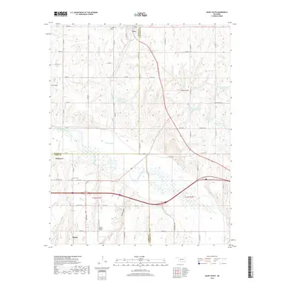
 2016 Geary South2016 Print · USGSCovers Geary, including Hinton, Bridgeport, and other nearby areas
 - 2018 Map of Geary South, 2018 Print
 2018 Geary South2018 Print · USGSCovers Geary, including Hinton, Bridgeport, and other nearby areas
 - 2018 Map of Geary North, 2018 Print
 2018 Geary North2018 Print · USGSCovers Geary, including Greenfield, Canadian County, and other nearby areas
 - 2018 Map of Fort Reno SW, 2018 Print
 2018 Fort Reno SW2018 Print · USGSCovers Geary, including Calumet, Karns, and other nearby areas
 - 2022 Map of Geary North, 2022 Print
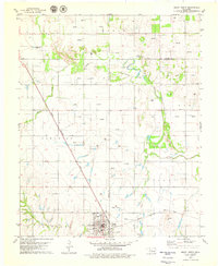
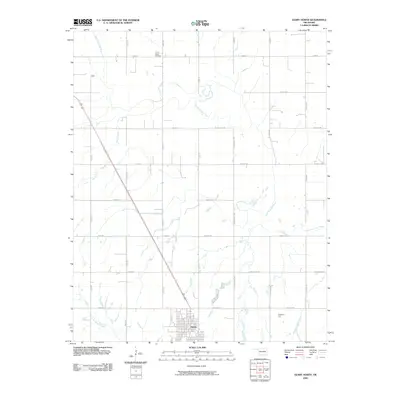
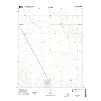
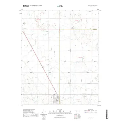
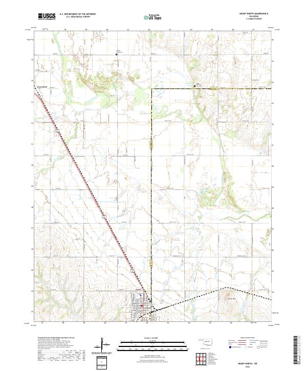 2022 Geary North2022 Print · USGSThe river bottomlands and prairies of Blaine and Canadian counties appear here in the early twenty-first century. Genealogists and historians can locate the Jesse Chisholm Grave Site, the Indian Cem, and the town of Geary.
 - 2022 Map of Fort Reno SW, 2022 Print
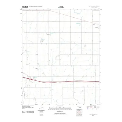
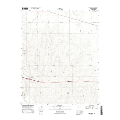
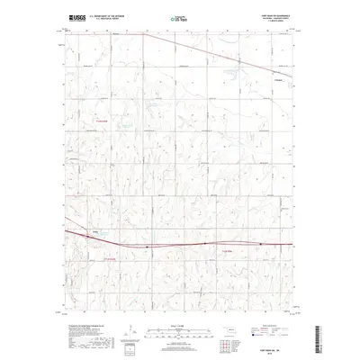
 2022 Fort Reno SW2022 Print · USGSCanadian County is captured here in the early twenty-first century, showcasing a landscape of section-line roads and prairie reservoirs. Genealogists can locate family landmarks like Sunny Hill Cem and Calumet Cem or trace the winding course of Powder Face Cr.
Showing maps 1-25 of 26
Top cities near Geary
- El Reno historical maps
- Hinton historical maps
- Calumet historical maps
- Greenfield historical maps
- Bridgeport historical maps
- Lookeba historical maps
Frequently asked questions
- What are the different types of historical maps available for Geary?
- What is the oldest map of Geary?
- Where can I purchase historical maps of Geary for my home or office?
- Where can I download high-res historical maps of Geary?
- Are there historical topographic maps available for Geary?
- Is there historical aerial imagery available for Geary?
- Where are historical maps of Geary sourced from?