
1942 Map of Geary
USGS Topo · Published 1942About this map
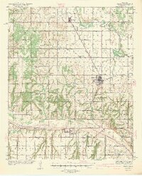
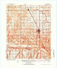
The Canadian River carves a winding path through this West-Central Oklahoma landscape, defining the boundaries of Blaine, Canadian, and Caddo counties just before the onset of World War II. The regional economy is anchored by the Chicago Rock Island and Pacific railroad, which services the primary settlements of Geary and Greenfield. This 1939 survey reveals a densely populated rural landscape characterized by a remarkably high frequency of local schoolhouses. Educational centers such as Canadian Valley Sch, High Prairie Sch, and Riverside Sch appear in nearly every township, serving the families working the varied terrain of Mound Valley and the banks of Horse Creek. Near the hub of Geary, the presence of a CCC Camp reflects the New Deal era's impact on local infrastructure and land management, while the Geary Pump Sta and nearby Bridgeport indicate the essential water and transport networks of the era.
Find a feature on this map
37 named features on this map. Tap any name to fly to it.
Don’t see what you’re looking for? This feature index may not catch every label — zoom into the map to look around manually.
Map Details
Editions of this 1942 Geary Map
3 editions found
Other maps of this area

1893 · Fort Reno
USGS Topo · 1:62,500

1893 · Buggy Creek
USGS Topo · 1:62,500

1893 · Loyal
USGS Topo · 1:62,500

1941 · Fort Reno
USGS Topo · 1:62,500

1942 · Fort Reno
USGS Topo · 1:62,500

1949 · Fort Reno
USGS Topo · 1:62,500

1951 · Binger
USGS Topo · 1:62,500

1955 · Clinton
USGS Topo · 1:250,000

1957 · Clinton
USGS Topo · 1:250,000

1961 · Eakly
USGS Topo · 1:62,500