2020s Maps of Grady County, Oklahoma
Explore 26 historic maps of Grady County from the 2020s. These maps offer a rare glimpse into what life looked like during the 2020s — showing old roads, neighborhoods, homes, and landmarks that have changed or disappeared over time.
Whether you're researching your family's past, planning a metal detecting trip, or studying how Grady County's landscape evolved across the 2020s, these high-resolution maps are a powerful tool for exploring the history of this region.
- Focus on a specific era: All maps on this page are from the 2020s, giving you a focused view of this time period.
- See what’s changed: Compare century-old streets, trails, and buildings to today's modern landscape using overlays and satellite layers.
- Research with precision: Use these maps for genealogy, historical research, land use analysis, or educational projects.
- View, download, or print: Maps are fully viewable online in high resolution, and can be downloaded or printed for your own records.
Start exploring Grady County's history through authentic maps from the 2020s. This is your window into the past.
Grady County, OK maps
(26)- 2022 Map of Alex, 2022 Print
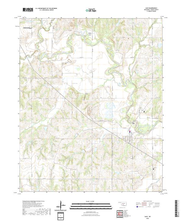 2022 Alex2022 Print · USGSAlex and the surrounding Grady County farmlands are captured in this modern survey during a period of continued rural transition. Researchers can locate family landmarks like Ireton Cem and Alex Cem or trace the winding course of the Washita River and Soldier Cr.
 - 2022 Map of Lindsay SW, 2022 Print
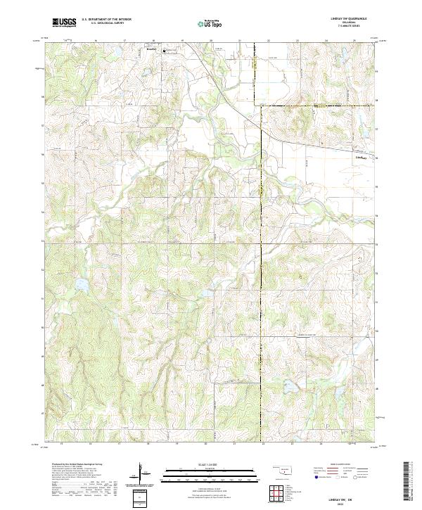 2022 Lindsay SW2022 Print · USGSThe Oklahoma heartland at the intersection of Grady, McClain, and Garvin Counties is shown here in the early twenty-first century. Genealogists and local historians can trace family roots near Bradley, locate the Bradley Cem, and follow the winding course of the Washita River.
 - 2022 Map of Bradley, 2022 Print
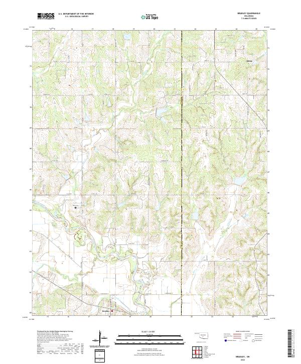 2022 Bradley2022 Print · USGSCentral Oklahoma's rural landscape at the Grady and McClain county line is documented here in the early twenty-first century. Genealogists and local historians can trace the course of the Washita River and locate Laflin Cem near the communities of Bradley and Dibble.
 - 2022 Map of Bray, 2022 Print
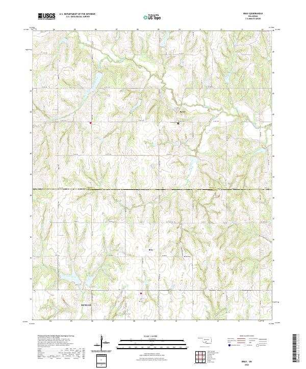 2022 Bray2022 Print · USGSThe rural border of Grady and Stephens counties is mapped here in the early twenty-first century, showing a landscape shaped by ranching and creek drainage. Researchers can trace family history at the Bailey Cemetery or locate the settlements of Bray and Bailey.
 - 2022 Map of East Roaring Creek, 2022 Print
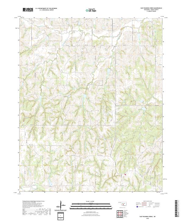 2022 East Roaring Creek2022 Print · USGSGrady County's rural landscape is mapped here during the early twenty-first century, showing the intricate drainage of the Roaring Creek system. Genealogists and local historians can trace property locations along Cox City Rd, Chitwood Expy, and the banks of Rush Cr.
 - 2022 Map of Marlow, 2022 Print
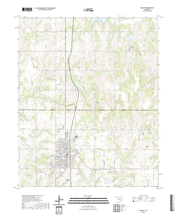 2022 Marlow2022 Print · USGSMarlow and the surrounding Stephens County plains are captured here in the early 2020s, showing the community's modern layout and tribal-named streets. Genealogists and local historians can locate the Marlow Cem, the Old Stover School Site, and landmarks like Taylor Lake.
 - 2022 Map of Pocasset, 2022 Print
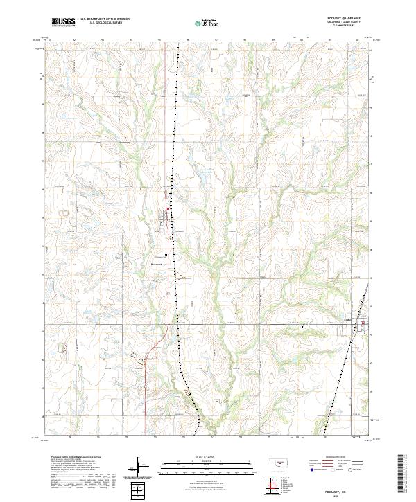 2022 Pocasset2022 Print · USGSThe rural agricultural landscape of Grady County comes into focus in this recent survey. Researchers can trace the section-line roads connecting Pocasset and Amber, locating historical sites like Pocasset Cem and the waters of Salt Cr.
 - 2022 Map of Cogar SE, 2022 Print
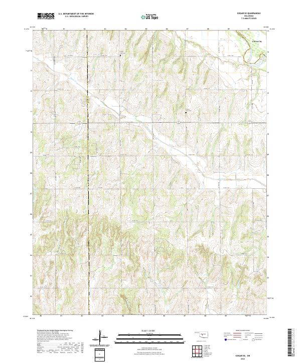 2022 Cogar SE2022 Print · USGSGrady County's agricultural heartland is documented here in the early twenty-first century, showing a landscape defined by rolling creek drainages and section-line roads. Researchers can locate family landmarks like Hazel Dell Cemetery and Center View Cemetery or trace the winding path of Buggy Creek.
 - 2022 Map of Chickasha NE, 2022 Print
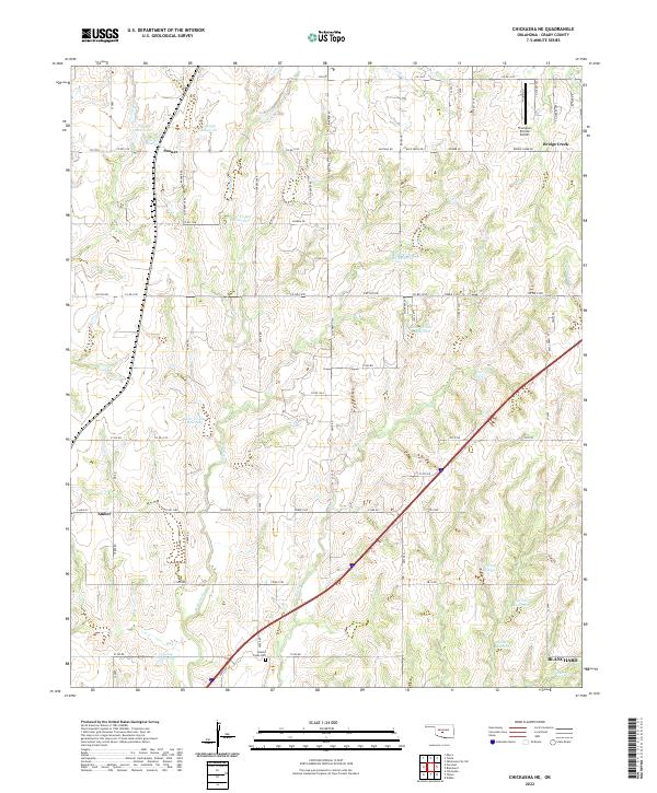 2022 Chickasha NE2022 Print · USGSGrady County's rural landscape is captured here in the early 2020s, showing a region defined by agricultural water management and small-town connections. Genealogists and local historians can locate Brushy Creek Cem or trace the early flight paths near Thompson Private Airport.
 - 2022 Map of Oklahoma City SW, 2022 Print
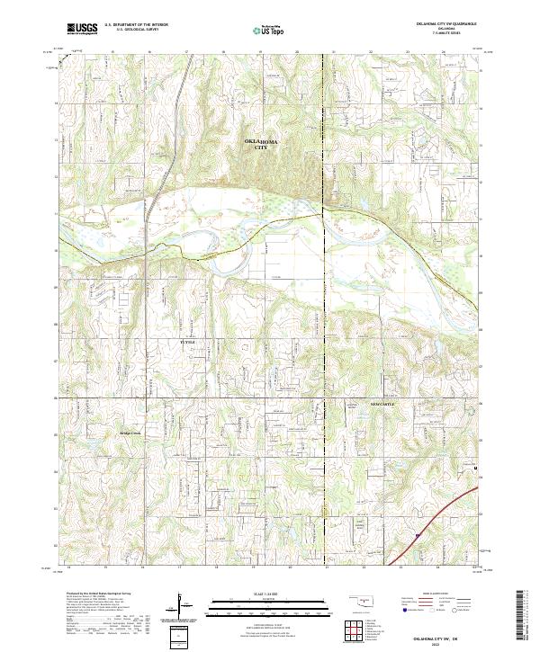 2022 Oklahoma City SW2022 Print · USGSOklahoma's central plains come into focus in the 2020s, where the expansion of Oklahoma City meets the Canadian River valley. Genealogists and local historians can pinpoint Clopton Cem, the Cole Landing Area, and landmarks like Bartons Butte.
 - 2022 Map of Verden, 2022 Print
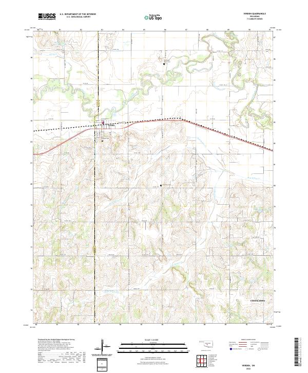 2022 Verden2022 Print · USGSThe Oklahoma prairie surrounding Verden is captured in this recent survey, showcasing the town's position along the Washita River and the rail line. Researchers can locate local landmarks like Half Moon Ranch Cem, Plainview Cem, and Spring Cr Site 103 Reservoir.
 - 2022 Map of Minco, 2022 Print
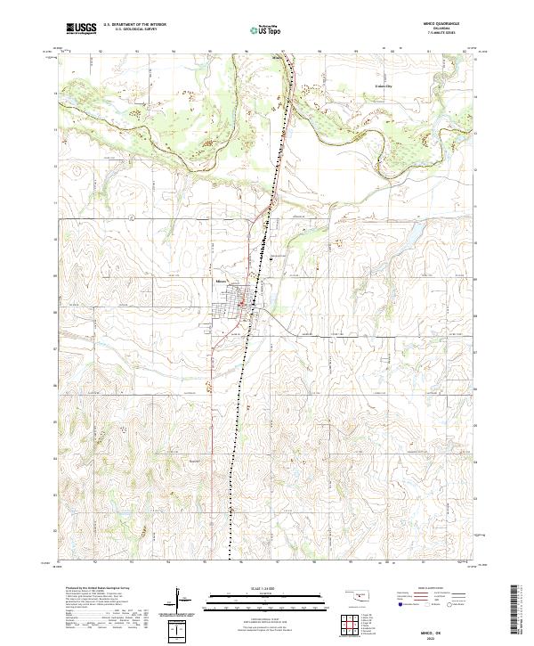 2022 Minco2022 Print · USGSThe borderlands of Grady and Canadian Counties come into focus in the early twenty-first century as the Canadian River cuts through the plains. Genealogists and historians can locate Evergreen Cem, the streets of Minco, and the path of the Chisholm Trail Rd.
 - 2022 Map of Chickasha, 2022 Print
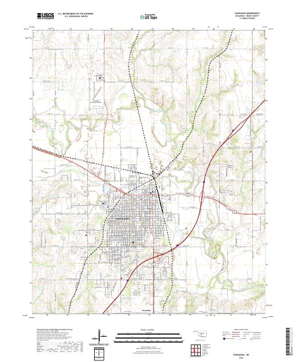 2022 Chickasha2022 Print · USGSThe city of Chickasha and the Washita River valley are captured in this modern survey of central Oklahoma. Researchers can trace the layout of the University of Science and Arts of Oklahoma or locate family plots at Fairview Park Cem and Rose Hill Cem.
 - 2022 Map of Dibble, 2022 Print
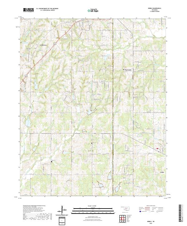 2022 Dibble2022 Print · USGSBlanchard and Middleberg are shown here at the Grady and McClain county line during a period of steady rural growth. Genealogists can locate Hale Cem and Naples Cem or trace the many branches of Winter Cr.
 - 2022 Map of Union City, 2022 Print
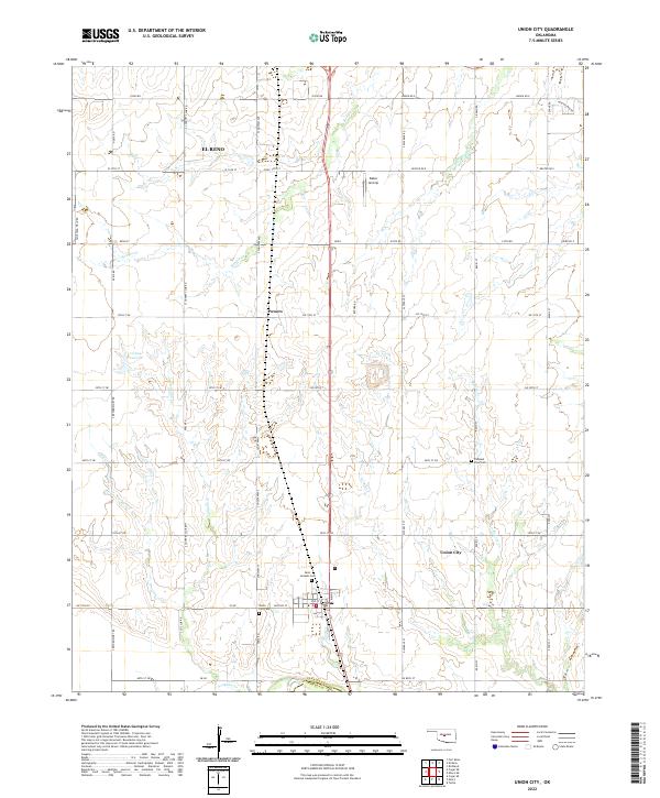 2022 Union City2022 Print · USGSUnion City and its surrounding Canadian County ranchlands are captured here in the early twenty-twenties. Researchers can trace family history at the Union City Cem, Saint Josephs Cem, and the small settlement of Powers.
 - 2022 Map of Tabler, 2022 Print
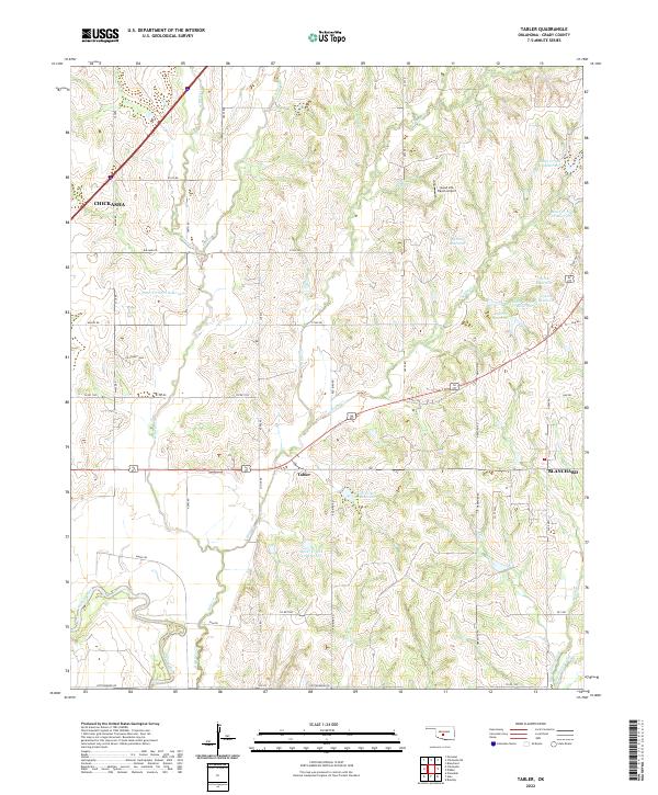 2022 Tabler2022 Print · USGSGrady County agriculture and aviation meet in this recent survey of the Oklahoma plains. Genealogists and locals can trace land tracts near Tabler and the Good Life Ranch Airport or follow the Washita River floodplain.
 - 2022 Map of Anadarko NE, 2022 Print
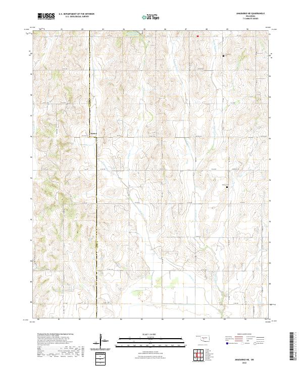 2022 Anadarko NE2022 Print · USGSThe Oklahoma prairie at the Caddo and Grady county line is detailed here in the early 2020s, showing a landscape of rural intersections and family land. Researchers can locate the Dutton settlement and trace ancestral roots at the Friendship Cem or Liberty Cem.
 - 2022 Map of Rocky Ford, 2022 Print
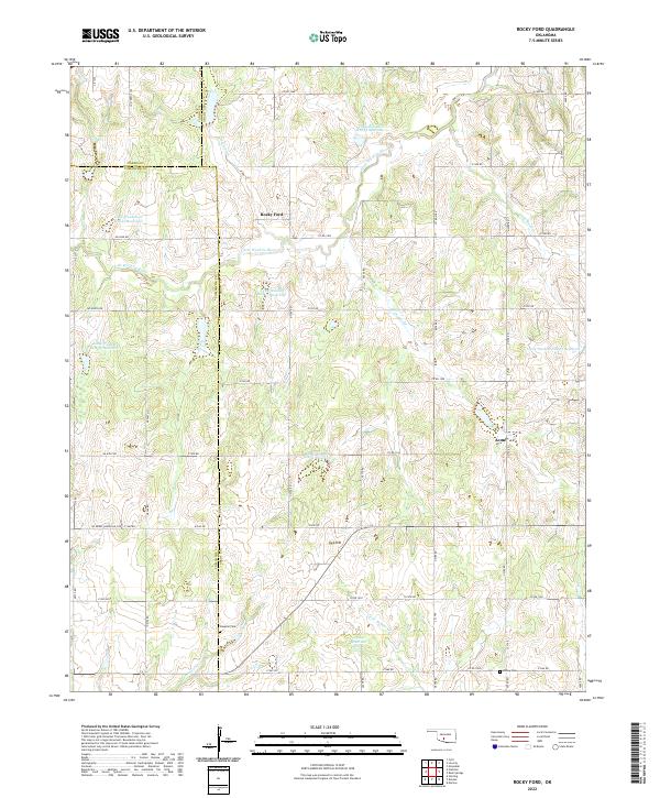 2022 Rocky Ford2022 Print · USGSThe rural landscapes of Grady and Caddo counties are captured here in the early twenty-first century, centered on the communities of Rocky Ford and Acme. Researchers can trace local genealogy at Simpson Cem or follow the managed waters of the Little Washita River.
 - 2022 Map of Blanchard, 2022 Print
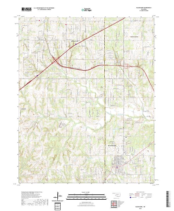 2022 Blanchard2022 Print · USGSBlanchard and Bridge Creek appear at the height of their modern expansion along the Grady and McClain county line. Researchers can trace family sites near the Blanchard Cem or locate local aviation landmarks like Warbonnet Airport and Nelson High Point Airport.
 - 2022 Map of Laverty, 2022 Print
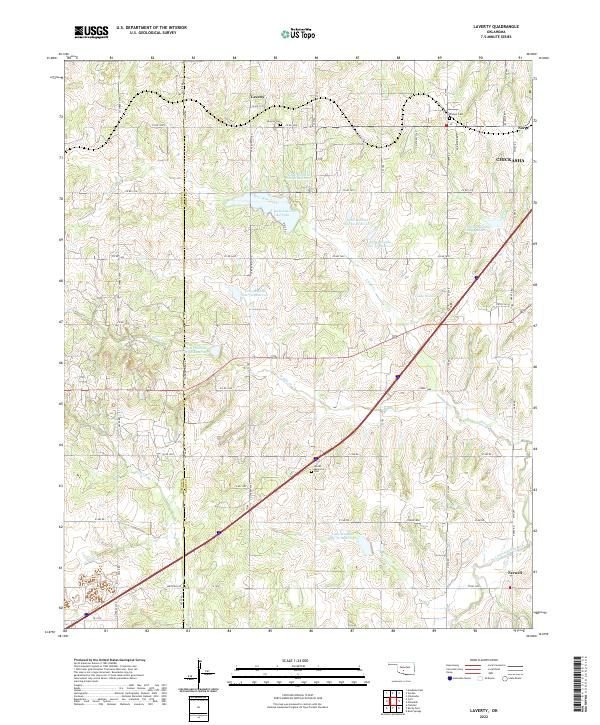 2022 Laverty2022 Print · USGSThe rural landscapes of Grady and Caddo Counties are documented here in the early twenty-first century. Researchers can trace family roots through local sites like Pioneer Cemetery, Laverty Cemetery, and the settlement of Norge.
 - 2022 Map of Tuttle, 2022 Print
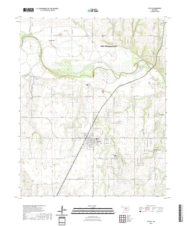 2022 Tuttle2022 Print · USGSThe Canadian River corridor and the growing community of Tuttle are documented here in the early twenty-first century. Researchers can trace local lineage through Silver City Cem and Fairview Cem or locate early homestead sites near Snake Creek.
 - 2022 Map of Denton, 2022 Print
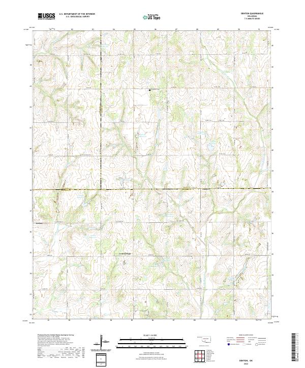 2022 Denton2022 Print · USGSThe borders of Comanche, Grady, and Stephens counties meet in this 2020s rural landscape. Researchers can locate Woodlawn Cem and trace the many waterways like Little Beaver Cr and Cottonwood Cr that define the local terrain.
 - 2022 Map of Ninnekah, 2022 Print
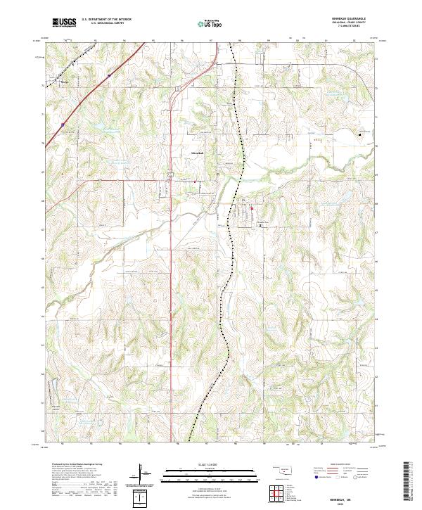 2022 Ninnekah2022 Print · USGSNinnekah and the surrounding Grady County countryside are shown here in the 2020s, a landscape defined by the Little Washita River and its many reservoirs. Researchers can locate family landmarks like Muncrief Cem and the historic route of the Chisolm Trl.
 - 2022 Map of Cox City, 2022 Print
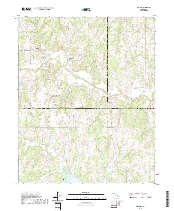 2022 Cox City2022 Print · USGSOklahoma's southern interior reveals its agricultural and hydrological character in this contemporary survey of the region around Cox City. Researchers can trace old family burial grounds like Killgore Cem and Tidwell Cem or follow the shoreline of Lake Fuqua.
 - 2022 Map of Rush Springs, 2022 Print
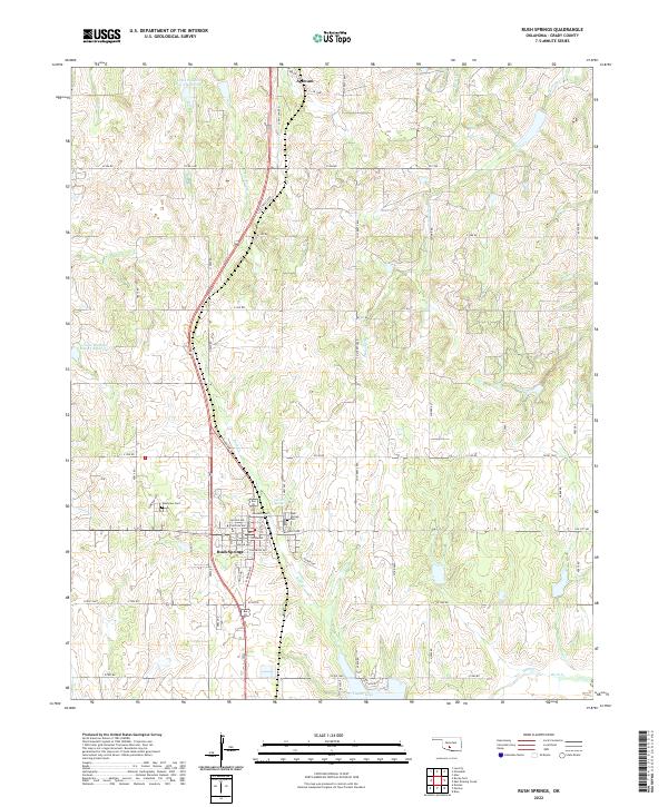 2022 Rush Springs2022 Print · USGSRush Springs and the surrounding Grady County plains are captured here in the early twenty-first century as the area balances municipal growth with rural watershed management. Researchers can locate family plots at Rush Springs Cem or trace water features like Carter Spring and Taylor Lake.
Showing maps 1-25 of 26
Top cities of Grady County
- Chickasha historical maps
- Tuttle historical maps
- Minco historical maps
- Rush Springs historical maps
- Ninnekah historical maps
- Verden historical maps
See more
Frequently asked questions
- What are the different types of historical maps available for Grady County?
- What is the oldest map of Grady County?
- Where can I purchase historical maps of Grady County for my home or office?
- Where can I download high-res historical maps of Grady County?
- Are there historical topographic maps available for Grady County?
- Is there historical aerial imagery available for Grady County?
- Where are historical maps of Grady County sourced from?