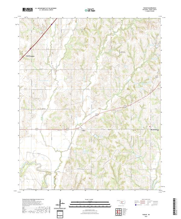
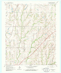
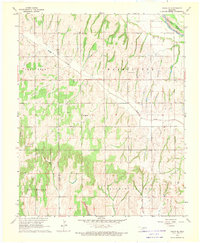
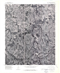
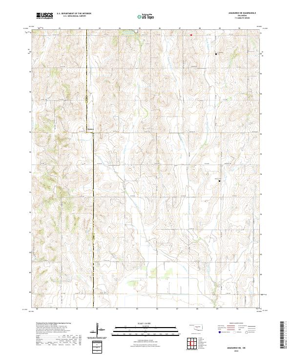
2022 Map of Tabler
USGS Topo · Published 2022This historical map portrays the area of Tabler in 2022, primarily covering Grady County. Featuring a scale of 1:24000, this map provides a highly detailed snapshot of the terrain, roads, buildings, counties, and historical landmarks in the Tabler region at the time. Published in 2022, it is the sole known edition of this map.
Map Details
Editions of this 2022 Tabler Map
This is the sole edition of this map. No revisions or reprints were ever made.
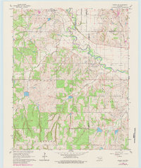
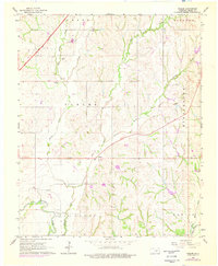
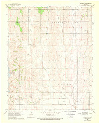
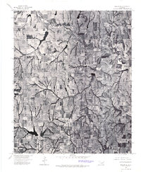
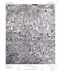
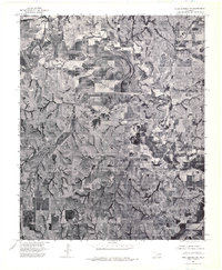
Historical Maps of Grady County Through Time
27 maps found
1956 Laverty
Grady County, OK
1956 Rocky Ford
Grady County, OK
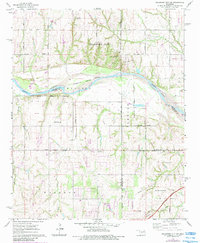
1965 Oklahoma City SW
Grady County, OK
1966 Chickasha NE
Grady County, OK
1966 Lindsay SW
Grady County, OK
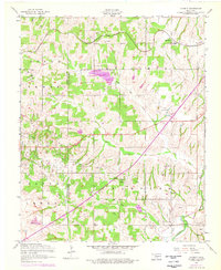
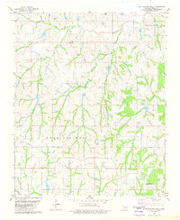
1966 Tabler
Grady County, OK
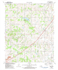
1968 Anadarko NE
Grady County, OK
1968 Cogar SE
Grady County, OK
1975 Marlow NE
Grady County, OK
1975 Marlow NW
Grady County, OK
1975 Rush Springs NE
Grady County, OK
1975 Rush Springs NW
Grady County, OK
1975 Rush Springs SE
Grady County, OK
1975 Rush Springs SW
Grady County, OK
1981 East Ninnekah
Grady County, OK
1981 East Roaring Creek
Grady County, OK
1991 Laverty
Grady County, OK
1991 Rocky Ford
Grady County, OK
2022 Anadarko NE
Grady County, OK
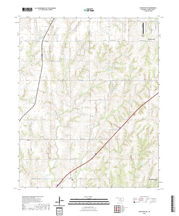
2022 Chickasha NE
Grady County, OK
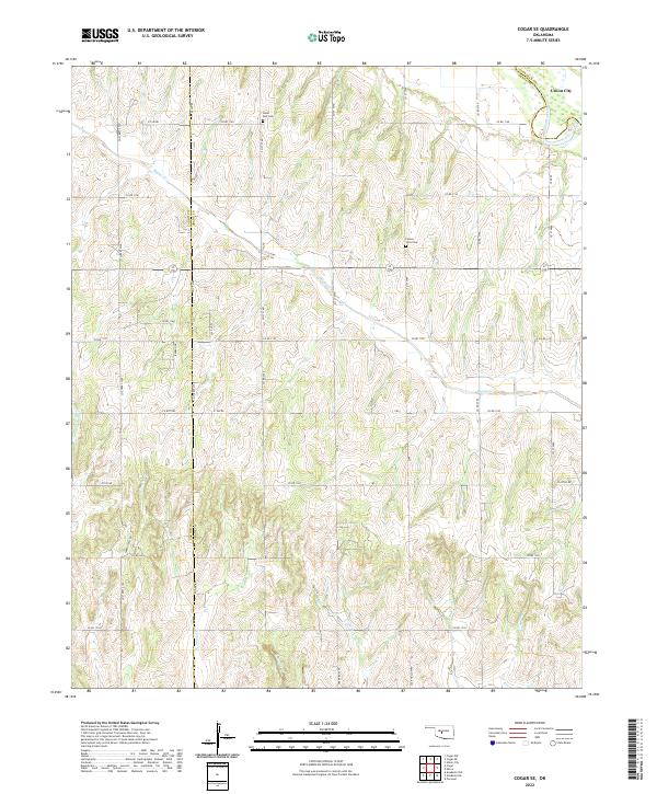
2022 Cogar SE
Grady County, OK
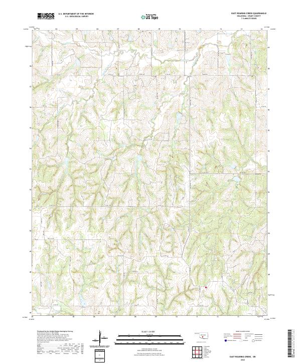
2022 East Roaring Creek
Grady County, OK
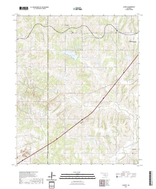
2022 Laverty
Grady County, OK
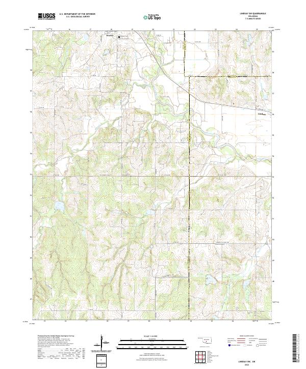
2022 Lindsay SW
Grady County, OK
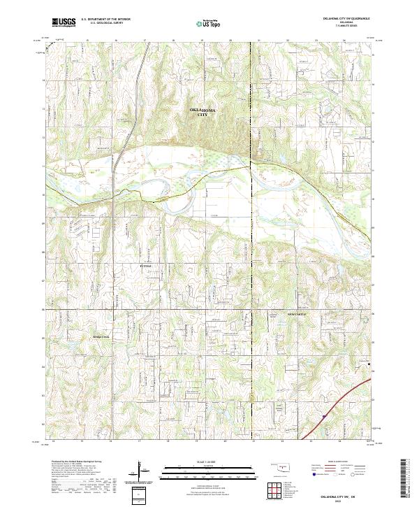
2022 Oklahoma City SW
Grady County, OK
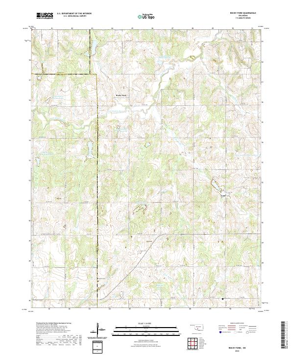
2022 Rocky Ford
Grady County, OK
2022 Tabler
Grady County, OK