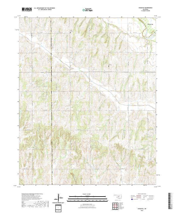
2022 Map of Cogar SE
USGS Topo · Published 2022About this map
The Canadian River meanders across the northeast corner of this territory, defining the boundary between Canadian and Grady counties. The landscape is a complex network of drainage systems, including Buggy Creek, Stinking Creek, and the dual branches of East Jack Hollow Creek and West Jack Hollow Creek. These waterways have carved a rolling topography that dictates the placement of the local section-line road grid.
Find a feature on this map
38 named features on this map. Tap any name to fly to it.
Don’t see what you’re looking for? This feature index may not catch every label — zoom into the map to look around manually.
Map Details
Editions of this 2022 Cogar SE Map
This is the sole edition of this map. No revisions or reprints were ever made.
Other maps of this area

1893 · Buggy Creek
USGS Topo · 1:62,500

1893 · Minco
USGS Topo · 1:62,500

1904 · Chickasha
USGS Topo · 1:125,000

1945 · Anadarko
USGS Topo · 1:62,500

1954 · Oklahoma City
USGS Topo · 1:250,000

1955 · Clinton
USGS Topo · 1:250,000

1957 · Clinton
USGS Topo · 1:250,000

1957 · Oklahoma City
USGS Topo · 1:250,000

1963 · Oklahoma City
USGS Topo · 1:250,000
1966 · Pocasset
USGS Topo · 1:24,000