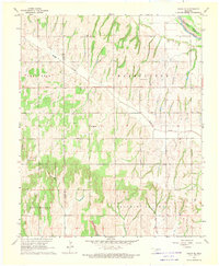
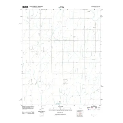
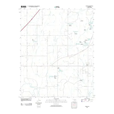
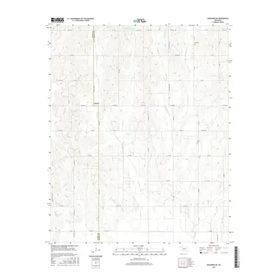
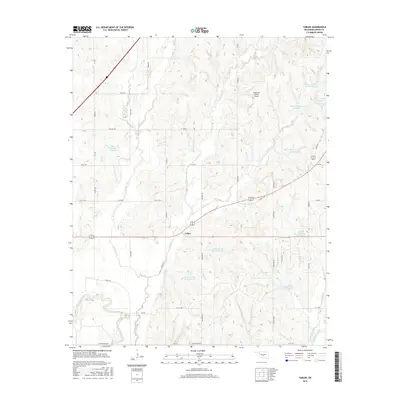
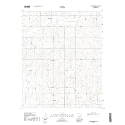
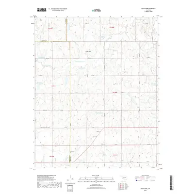
1975 Map of Rush Springs SE
USGS Topo · Published 1976About this map
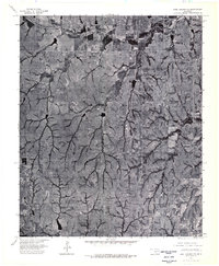
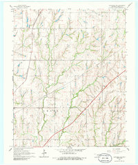
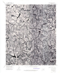
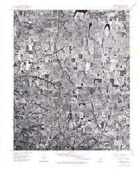
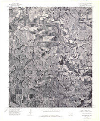
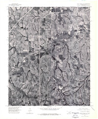
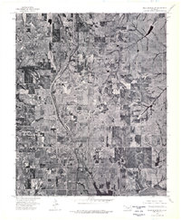
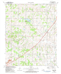
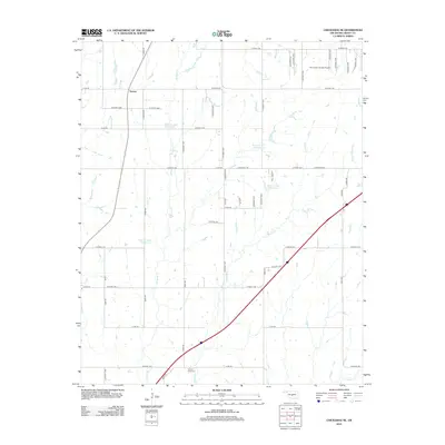
Chitwood serves as the primary focal point in this 1975 aerial study of the Oklahoma landscape. The orthophotoquad format provides an unvarnished look at the transition between agricultural fields and the intricate network of wooded creek beds that carve through the terrain. Unlike traditional topographic maps, this imagery reveals the exact footprint of farmsteads, the density of timber along drainage paths, and the specific geometry of local ponds and reservoirs that supported the region's ranching and farming operations. The sharp contrast between cleared uplands and the dendritic patterns of the lowlands highlights the land-use priorities of the mid-1970s. For those tracing the evolution of family tracts or property lines, the map offers a rare visual verification of the rural infrastructure as it existed before decades of further modernization.
Find a feature on this map
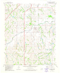
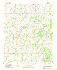
1 named feature on this map. Tap any name to fly to it.
Don’t see what you’re looking for? This feature index may not catch every label — zoom into the map to look around manually.
Map Details
Editions of this 1975 Rush Springs SE Map
This is the sole edition of this map. No revisions or reprints were ever made.
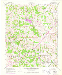
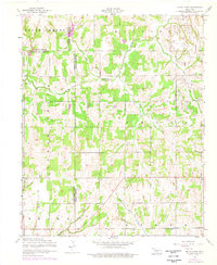
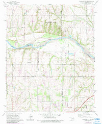
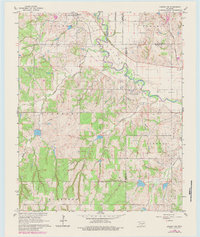
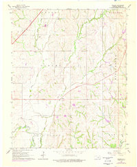
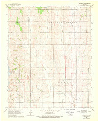
Historical Maps of Grady County Through Time
63 maps found
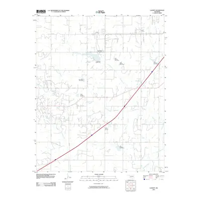
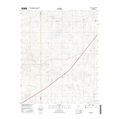
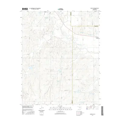
1956 Laverty
Grady County, OK
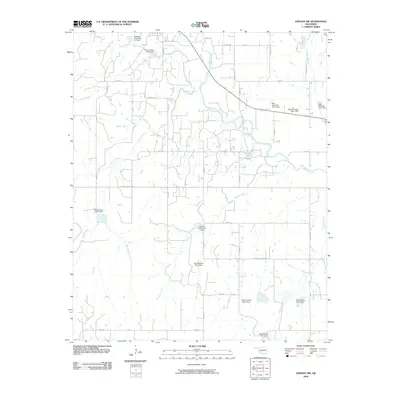
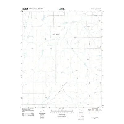
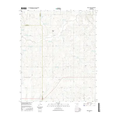
1956 Rocky Ford
Grady County, OK
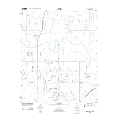
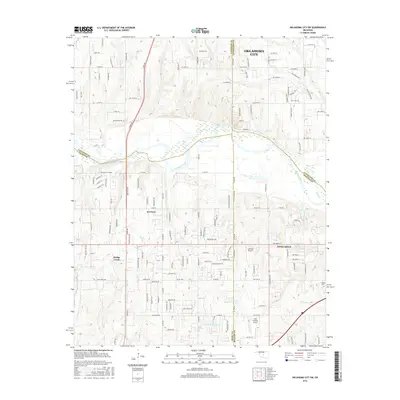
1965 Oklahoma City SW
Grady County, OK
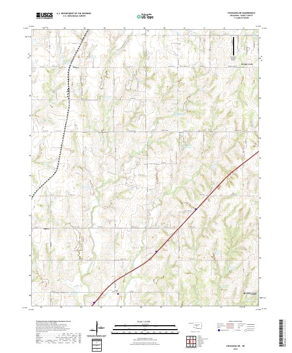
1966 Chickasha NE
Grady County, OK
1966 Lindsay SW
Grady County, OK
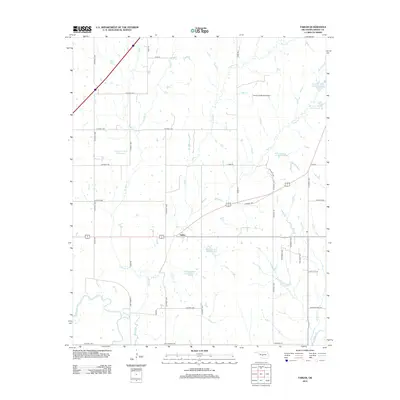
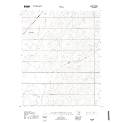
1966 Tabler
Grady County, OK
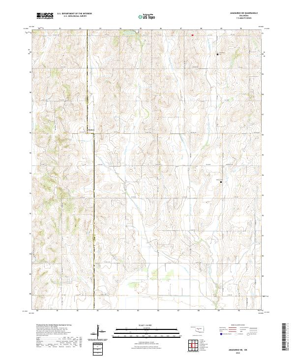
1968 Anadarko NE
Grady County, OK
1968 Cogar SE
Grady County, OK
1975 Marlow NE
Grady County, OK
1975 Marlow NW
Grady County, OK
1975 Rush Springs NE
Grady County, OK
1975 Rush Springs NW
Grady County, OK
1975 Rush Springs SE
Grady County, OK
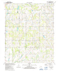
1975 Rush Springs SW
Grady County, OK
1981 East Ninnekah
Grady County, OK
1981 East Roaring Creek
Grady County, OK
1991 Laverty
Grady County, OK
1991 Rocky Ford
Grady County, OK
2009 Anadarko NE
Grady County, OK
2009 Chickasha NE
Grady County, OK
2009 Cogar SE
Grady County, OK
2009 Laverty
Grady County, OK
2009 Lindsay SW
Grady County, OK
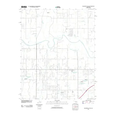
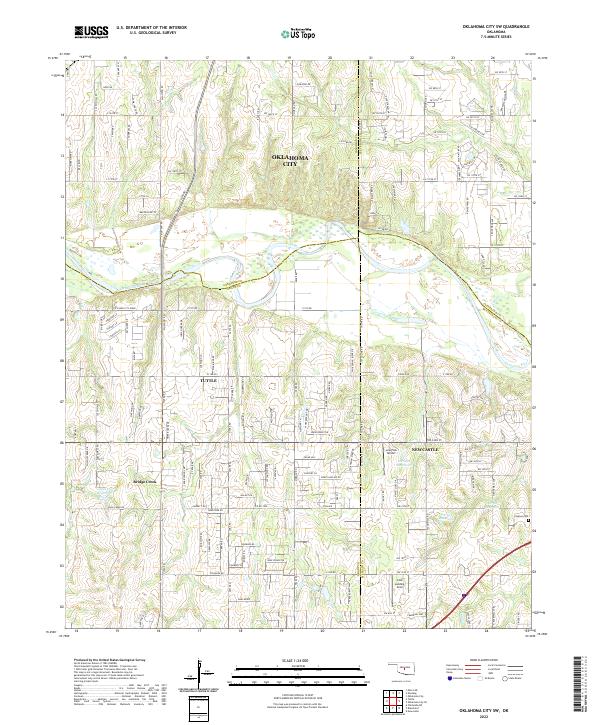
2009 Oklahoma City SW
Grady County, OK
2009 Tabler
Grady County, OK
2010 East Roaring Creek
Grady County, OK
2010 Rocky Ford
Grady County, OK
2012 Anadarko NE
Grady County, OK
2012 Chickasha NE
Grady County, OK
2012 Cogar SE
Grady County, OK
2012 East Roaring Creek
Grady County, OK
2012 Laverty
Grady County, OK
2012 Lindsay SW
Grady County, OK
2012 Oklahoma City SW
Grady County, OK
2012 Rocky Ford
Grady County, OK
2012 Tabler
Grady County, OK
2016 Anadarko NE
Grady County, OK
2016 Chickasha NE
Grady County, OK
2016 Cogar SE
Grady County, OK
2016 East Roaring Creek
Grady County, OK
2016 Laverty
Grady County, OK
2016 Lindsay SW
Grady County, OK
2016 Oklahoma City SW
Grady County, OK
2016 Rocky Ford
Grady County, OK
2016 Tabler
Grady County, OK
2018 Anadarko NE
Grady County, OK
2018 Chickasha NE
Grady County, OK
2018 Cogar SE
Grady County, OK
2018 East Roaring Creek
Grady County, OK
2018 Laverty
Grady County, OK
2018 Lindsay SW
Grady County, OK
2018 Oklahoma City SW
Grady County, OK
2018 Rocky Ford
Grady County, OK
2018 Tabler
Grady County, OK
2022 Anadarko NE
Grady County, OK
2022 Chickasha NE
Grady County, OK
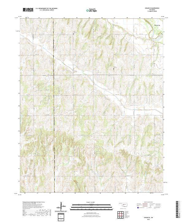
2022 Cogar SE
Grady County, OK
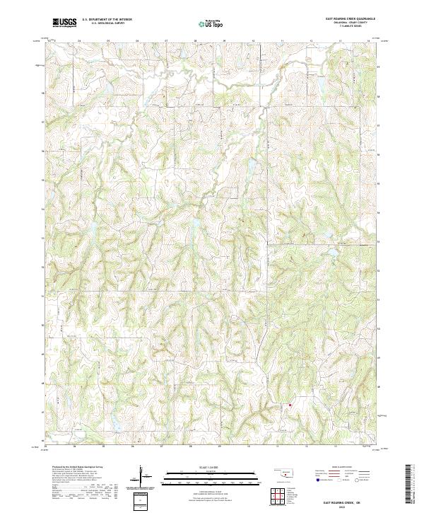
2022 East Roaring Creek
Grady County, OK
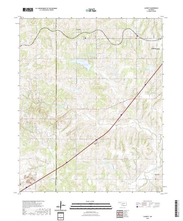
2022 Laverty
Grady County, OK
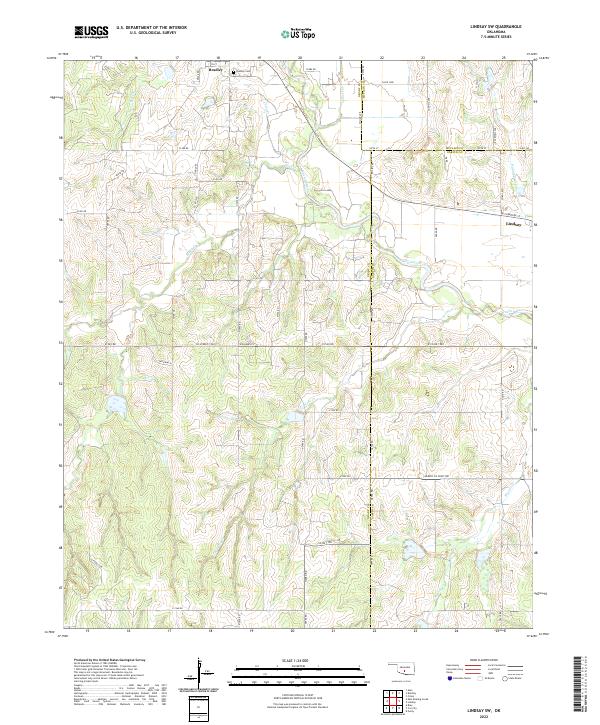
2022 Lindsay SW
Grady County, OK
2022 Oklahoma City SW
Grady County, OK
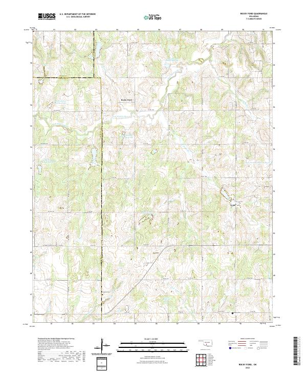
2022 Rocky Ford
Grady County, OK
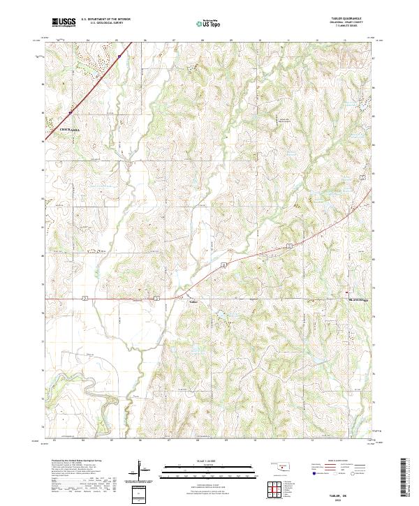
2022 Tabler
Grady County, OK