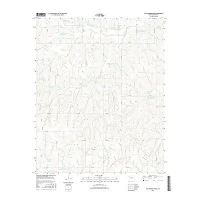
2016 Map of East Roaring Creek
USGS Topo · Published 2016About this map
Roaring Cr and its various tributaries carve a complex drainage pattern across this Oklahoma landscape, defined by an extensive network of flood control structures. Numerous reservoirs, such as Roaring Creek Site 11 Reservoir and Roaring Creek Site 12 Reservoir, dot the terrain, illustrating the modern water management system in Grady County. The road network follows a rigid section-line grid, typical of the Great Plains, but is punctuated by named local routes like Cedar Hill Rd and Chitwood Expy. These roads connect rural homesteads and agricultural operations to regional thoroughfares such as Cox City Rd. To the south, the terrain transitions toward the drainage of Rush Cr, where additional impoundments like Rush Creek Site 7 Reservoir serve the surrounding farmland, reflecting the area's ongoing reliance on coordinated soil and water conservation efforts.
Find a feature on this map
53 named features on this map. Tap any name to fly to it.
Don’t see what you’re looking for? This feature index may not catch every label — zoom into the map to look around manually.
Map Details
Editions of this 2016 East Roaring Creek Map
This is the sole edition of this map. No revisions or reprints were ever made.
Other maps of this area
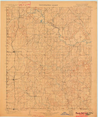
1902 · Rush Springs
USGS Topo · 1:125,000
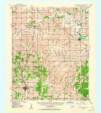
1949 · Rush Springs
USGS Topo · 1:62,500
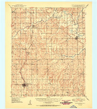
1950 · Rush Springs
USGS Topo · 1:62,500
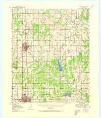
1950 · Marlow
USGS Topo · 1:62,500
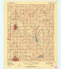
1951 · Marlow
USGS Topo · 1:62,500
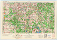
1957 · Ardmore
USGS Topo · 1:250,000
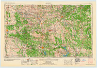
1963 · Ardmore
USGS Topo · 1:250,000
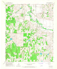
1966 · Lindsay SW
USGS Topo · 1:24,000
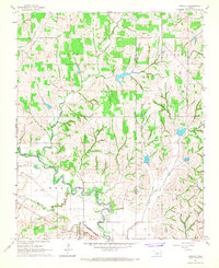
1966 · Bradley
USGS Topo · 1:24,000
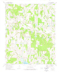
1974 · Cox City
USGS Topo · 1:24,000