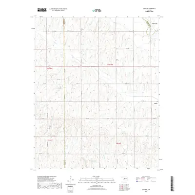
2018 Map of Cogar SE
USGS Topo · Published 2018About this map
Union City and Minco anchor the northeast and southeast corners of this central Oklahoma landscape, where the Canadian River cuts through the red earth. The map reveals a deeply etched drainage pattern defined by Buggy Cr and the symmetrical forks of W Jack Hollow Cr and E Jack Hollow Cr. High points on the rolling plains are marked by early community landmarks, including Hazel Dell Cem and Center View Cem. The survey illustrates the intersection of Caddo, Canadian, and Grady counties, tracing the rural road grid that follows township and range lines. Water management is a visible priority in the southern half of the quadrangle, evidenced by the E Ionine Cr Site 101 Reservoir and several small catchments along W Ionine Cr and E Ionine Cr.
Find a feature on this map
42 named features on this map. Tap any name to fly to it.
Don’t see what you’re looking for? This feature index may not catch every label — zoom into the map to look around manually.
Map Details
Editions of this 2018 Cogar SE Map
This is the sole edition of this map. No revisions or reprints were ever made.
Other maps of this area

1893 · Buggy Creek
USGS Topo · 1:62,500

1893 · Minco
USGS Topo · 1:62,500

1904 · Chickasha
USGS Topo · 1:125,000

1945 · Anadarko
USGS Topo · 1:62,500

1954 · Oklahoma City
USGS Topo · 1:250,000

1955 · Clinton
USGS Topo · 1:250,000

1957 · Clinton
USGS Topo · 1:250,000

1957 · Oklahoma City
USGS Topo · 1:250,000

1963 · Oklahoma City
USGS Topo · 1:250,000
1966 · Pocasset
USGS Topo · 1:24,000