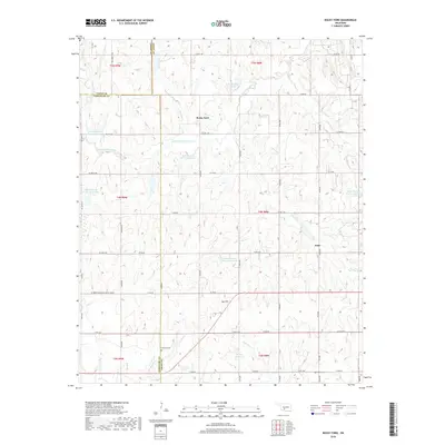
2018 Map of Rocky Ford
USGS Topo · Published 2018About this map
Rocky Ford and Acme anchor this portion of the Oklahoma plains where three counties—Caddo, Grady, and Comanche—meet. The landscape is defined by the extensive watershed management systems of the Little Washita River, characterized by numerous flood control structures such as Little Washita Site 35 Reservoir, Little Washita Site 17 Reservoir, and Little Washita Site 50 Reservoir. These artificial water bodies, built to regulate the flow of the river and its tributaries like Charlie Cr and McCarty Cr, contrast with the natural topography of Gyp Hill. For the local historian, the map preserves the precise locations of the Simpson Cem and Ridley Cem, alongside a dense grid of rural roads including NE Meers Porter Hill Rd E 1540 Rd and Co Rd 1480, providing a detailed look at the agricultural footprint of the region in the early 21st century.
Find a feature on this map
62 named features on this map. Tap any name to fly to it.
Don’t see what you’re looking for? This feature index may not catch every label — zoom into the map to look around manually.
Map Details
Editions of this 2018 Rocky Ford Map
This is the sole edition of this map. No revisions or reprints were ever made.
Other maps of this area

1902 · Rush Springs
USGS Topo · 1:125,000

1949 · Cement
USGS Topo · 1:62,500

1949 · Nellie
USGS Topo · 1:62,500

1949 · Rush Springs
USGS Topo · 1:62,500

1950 · Rush Springs
USGS Topo · 1:62,500

1950 · Marlow
USGS Topo · 1:62,500

1951 · Marlow
USGS Topo · 1:62,500

1955 · Lawton
USGS Topo · 1:250,000

1956 · Sterling
USGS Topo · 1:24,000

1956 · Laverty
USGS Topo · 1:24,000