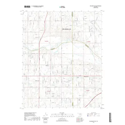
2018 Map of Oklahoma City SW
USGS Topo · Published 2018About this map
The Canadian River cuts through this landscape southwest of Oklahoma City, marking a natural and political boundary where Canadian, Cleveland, McClain, and Grady counties converge. The terrain is characterized by distinctive elevations like Silver City Ridge and Bartons Butte, while the drainage system of Coal Creek and Cow Creek feeds into the main river channel. This 2018 survey reveals a transitional area where the suburban expansion of Newcastle and Tuttle meets traditional rural landmarks. Aviation history is noted by the Low Pass Airport and Cole Landing Area, and the local genealogy is anchored by the Clopton Cemetery in the southeastern quadrant. The map reflects a modern infrastructure of reservoirs, including 087011 Reservoir, alongside residential developments like Bridge Creek that continue to shape the outskirts of the metropolitan region.
Find a feature on this map
147 named features on this map. Tap any name to fly to it.
Don’t see what you’re looking for? This feature index may not catch every label — zoom into the map to look around manually.
Map Details
Editions of this 2018 Oklahoma City SW Map
This is the sole edition of this map. No revisions or reprints were ever made.
Other maps of this area

1893 · Oklahoma City
USGS Topo · 1:62,500

1893 · Minco
USGS Topo · 1:62,500

1904 · Chickasha
USGS Topo · 1:125,000

1954 · Oklahoma City
USGS Topo · 1:250,000

1956 · Oklahoma City
USGS Topo · 1:24,000

1956 · Oklahoma City
USGS Topo · 1:62,500

1956 · Oklahoma City SE
USGS Topo · 1:24,000

1957 · Oklahoma City
USGS Topo · 1:250,000

1963 · Oklahoma City
USGS Topo · 1:250,000
1965 · Newcastle
USGS Topo · 1:24,000