2020s Maps of Kay County, Oklahoma
Explore 22 historic maps of Kay County from the 2020s. These maps offer a rare glimpse into what life looked like during the 2020s — showing old roads, neighborhoods, homes, and landmarks that have changed or disappeared over time.
Whether you're researching your family's past, planning a metal detecting trip, or studying how Kay County's landscape evolved across the 2020s, these high-resolution maps are a powerful tool for exploring the history of this region.
- Focus on a specific era: All maps on this page are from the 2020s, giving you a focused view of this time period.
- See what’s changed: Compare century-old streets, trails, and buildings to today's modern landscape using overlays and satellite layers.
- Research with precision: Use these maps for genealogy, historical research, land use analysis, or educational projects.
- View, download, or print: Maps are fully viewable online in high resolution, and can be downloaded or printed for your own records.
Start exploring Kay County's history through authentic maps from the 2020s. This is your window into the past.
Kay County, OK maps
(22)- 2022 Map of Nardin, 2022 Print
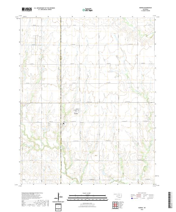 2022 Nardin2022 Print · USGSThe Kay and Grant County line area comes into focus in this recent survey of Nardin and its surrounding prairies. Researchers can trace local heritage through the streets of Nardin and the nearby Mount Olive Cem, or follow the winding paths of Thompson Cr and Big Antelope Cr.
 - 2022 Map of Eddy, 2022 Print
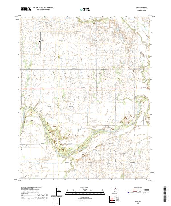 2022 Eddy2022 Print · USGSNorthwestern Oklahoma farmland meets the winding Salt Fork Arkansas River in this modern survey of the border between Grant and Kay counties. Researchers can locate the community of Eddy and trace family heritage at New Hope Cem or Riverview Cem.
 - 2022 Map of Braman, 2022 Print
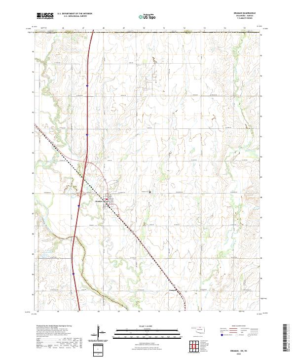 2022 Braman2022 Print · USGSNorthern Oklahoma's borderlands come into focus in this recent survey of the prairie south of the Kansas line. Genealogists and local historians can trace the town grid of Braman, locate the Braman Cem, and find the rural community of Sumpter.
 - 2022 Map of Blackwell NW, 2022 Print
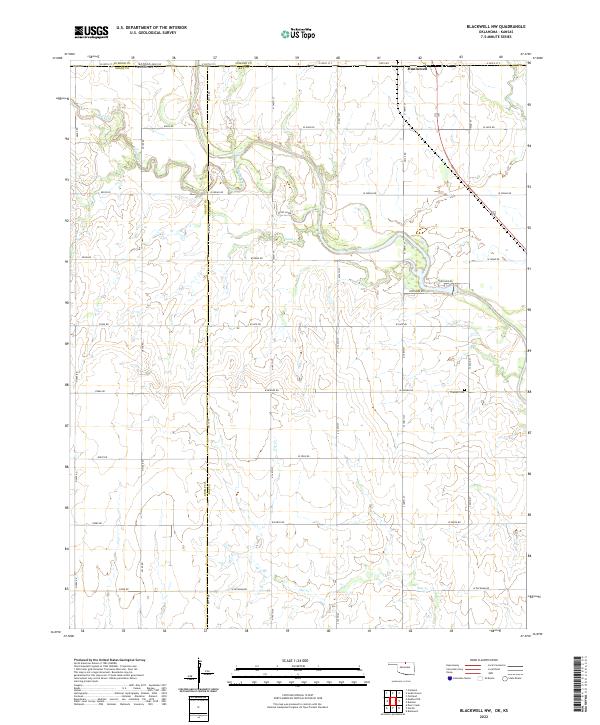 2022 Blackwell NW2022 Print · USGSThe Kansas-Oklahoma borderlands south of Hunnewell are mapped here in the early 2020s. Genealogists and local historians can trace rural landmarks and family plots like Triumph Cemetery and the many winding branches of Bluff Creek.
 - 2022 Map of Kaw City NW, 2022 Print
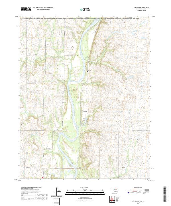 2022 Kaw City NW2022 Print · USGSBordering the state line in the early 2020s, this area shows the rural landscape of Kay County where the river meets the plains. Researchers can trace family history at Cooper Cem or follow the waters of the Arkansas River and Newkirk Lake.
 - 2022 Map of Billings, 2022 Print
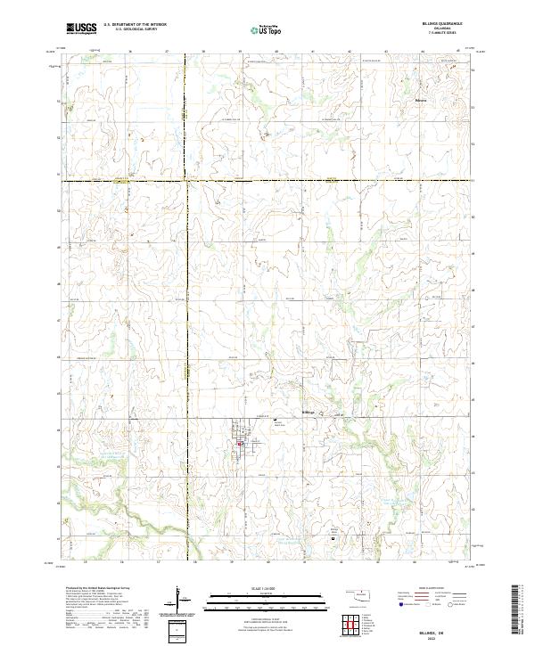 2022 Billings2022 Print · USGSThe north-central Oklahoma plains around the turn of the 2020s are captured here, centered on the historic town of Billings. Genealogists and local researchers can trace the rural landscape across four counties, identifying the site of Alcorn and the local road network.
 - 2022 Map of Tonkawa, 2022 Print
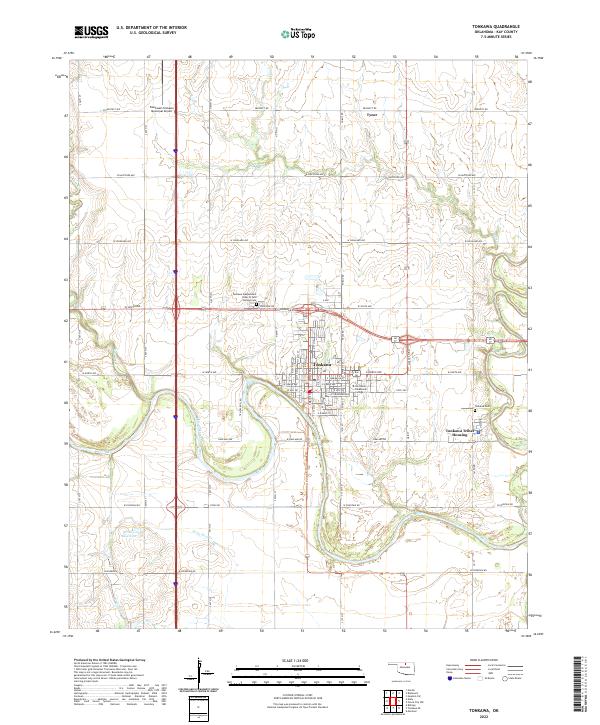 2022 Tonkawa2022 Print · USGSTonkawa and the surrounding Kay County prairies are captured in this modern survey. Researchers can locate the Northern Oklahoma College campus, the Tonkawa Tribal Housing district, and local landmarks like the Blackwell-Tonkawa Municipal Airport.
 - 2022 Map of Ponca City, 2022 Print
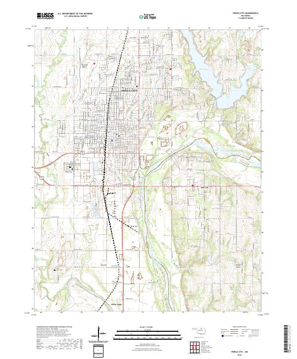 2022 Ponca City2022 Print · USGSPonca City and the surrounding Kay County prairies are captured here at the meeting of two great rivers. Genealogists and local historians can trace family locations near White Eagle, McCord, and the Ponca Indian Cem along the Arkansas River.
 - 2022 Map of Newkirk, 2022 Print
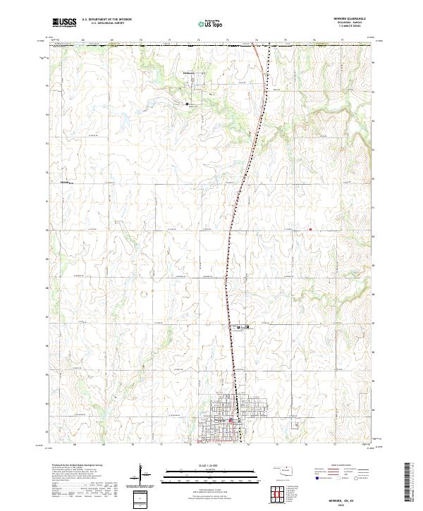 2022 Newkirk2022 Print · USGSNewkirk and the Oklahoma-Kansas borderlands are shown here in the early 2020s, revealing a landscape of organized agriculture and civic history. Researchers can locate the Kay County Courthouse and several family-important sites like the Chilocco Indian Cemetery and Washunga Cemetery.
 - 2022 Map of Marland, 2022 Print
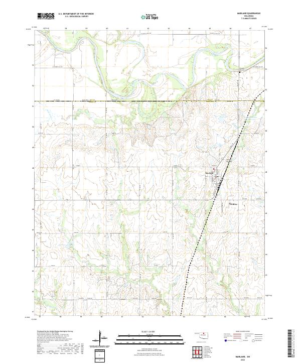 2022 Marland2022 Print · USGSThe Oklahoma prairie south of the Salt Fork Arkansas River comes into focus in this recent survey. Local historians can trace the relationship between Marland and Old Bliss or locate the Cowboy Hill Cem near the river bluffs.
 - 2022 Map of Newkirk SW, 2022 Print
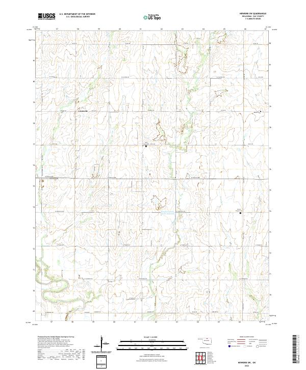 2022 Newkirk SW2022 Print · USGSNorthwestern Kay County in the early 2020s remains a landscape of traditional section lines and prairie drainage. Researchers can locate family burial plots at Saint Johns Cem and Prairie Chapel Cem or trace the small settlement of Grainville.
 - 2022 Map of Ponca City SE, 2022 Print
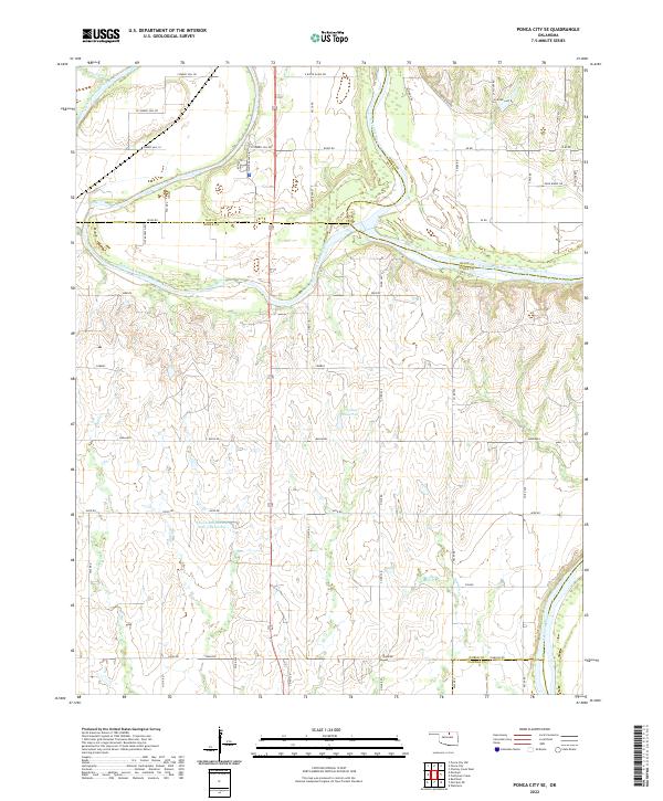 2022 Ponca City SE2022 Print · USGSNoble and Kay counties in the early twenty-first century are defined by the convergence of the Salt Fork Arkansas River and the Arkansas River. Researchers can trace the rural landscape near Cowboy Hill or locate the Lower Red Rock Cr Site 3 Reservoir among the network of local section roads.
 - 2022 Map of Blackwell, 2022 Print
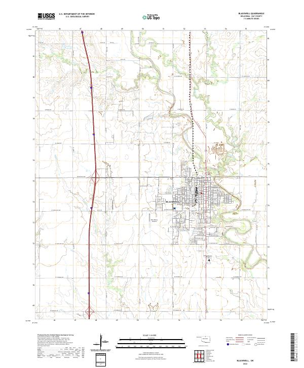 2022 Blackwell2022 Print · USGSBlackwell and the surrounding Kay County countryside are captured here in the early twenty-first century as the community continues its long-held role as a regional center. Researchers can trace family sites near Blackwell Cem or locate aviation history at the Earl Henry Airport.
 - 2022 Map of Ponca City NW, 2022 Print
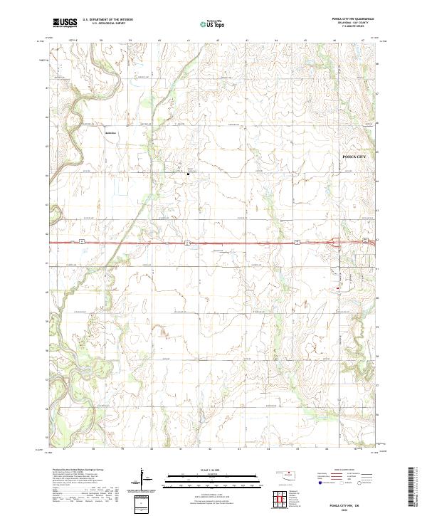 2022 Ponca City NW2022 Print · USGSKay County lands west of the city limits come into focus in this contemporary survey of the Oklahoma plains. Local researchers can trace old section lines and landmarks like Round Grove Cemetery, the settlement of Autwine, and the Salt Fork Arkansas River.
 - 2022 Map of Peckham, 2022 Print
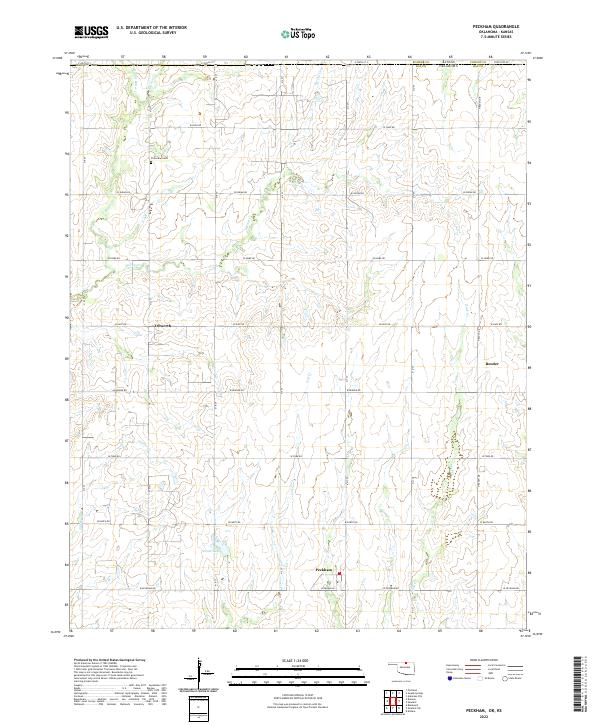 2022 Peckham2022 Print · USGSKay County, Oklahoma, sits along the Kansas border in this contemporary record of its rural character. Genealogists and historians can locate Peckham and Dilworth or find family plots at Plainview Cem among the many forks of Spring Cr.
 - 2022 Map of Kildare, 2022 Print
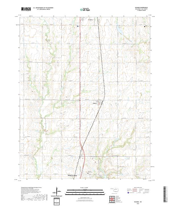 2022 Kildare2022 Print · USGSNorthern Oklahoma's prairie landscape unfolds north of Ponca City during the early 2020s. Researchers can locate family sites near the town of Kildare or trace the courses of Bois d'Arc Cr and Turkey Cr.
 - 2022 Map of Charley Creek East, 2022 Print
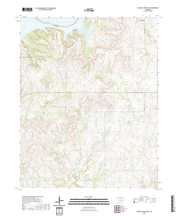 2022 Charley Creek East2022 Print · USGSOsage County ranchland meets the northern waters of Kaw Lake in this recent survey of the Oklahoma landscape. Researchers can trace rural lineages along Possum Hollar Rd and locate the small settlement of Apperson near the Arkansas River.
 - 2022 Map of Hardy, 2022 Print
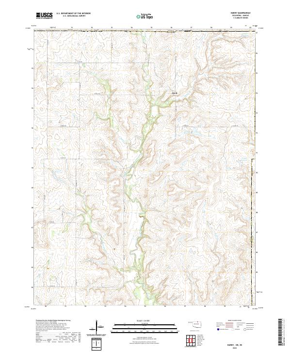 2022 Hardy2022 Print · USGSThe Oklahoma-Kansas borderlands come into focus in the early 2020s, showing the rural character of the northern Kay County territory. Researchers can trace land divisions near Hardy or locate specific water features like 071040 Reservoir and the winding Rabbit Creek.
 - 2022 Map of Tonkawa SE, 2022 Print
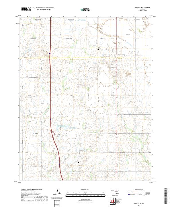 2022 Tonkawa SE2022 Print · USGSBillings and the rural prairies of Noble and Kay counties are captured in this 2020s survey. Genealogists and local historians can trace family ties at Floral Ridge Cem and Prairie View Cem or map the drainage of Birds Nest Cr.
 - 2022 Map of Uncas, 2022 Print
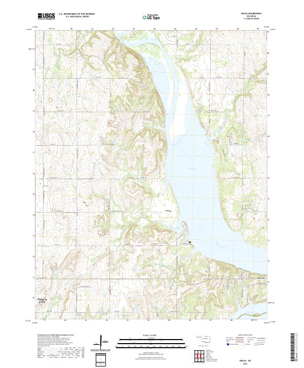 2022 Uncas2022 Print · USGSThe Arkansas River valley in Kay County underwent a total transformation as the waters of Kaw Lake reshaped the landscape. Researchers can trace the shoreline of Coon Creek Cove to find Uncas, the Oak Grove Cemetery, and the vicinity of Kaw City.
 - 2022 Map of Kaw City, 2022 Print
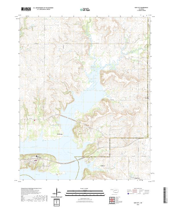 2022 Kaw City2022 Print · USGSThe shorelines of Kaw Lake and the Arkansas River define the Kay County landscape in this 2022 survey. Researchers can trace local history through the proximity of Washunga, the site of Grandview Cem, and the rural community of Apperson near the Osage County line.
 - 2022 Map of Charley Creek West, 2022 Print
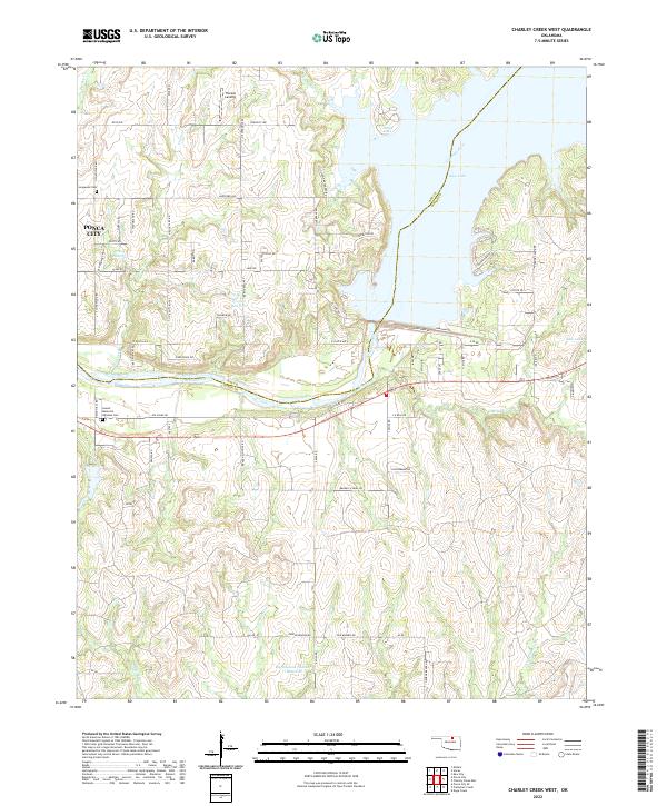 2022 Charley Creek West2022 Print · USGSThe Kay and Osage county line comes alive in this 2020s survey of the river country east of Ponca City. Researchers can trace local lineage at Longwood Cem or explore the hydrologic landscape surrounding Kaw Lake and the Arkansas River.
End of results
Showing maps 1-22 of 22
Top cities of Kay County
- Ponca City historical maps
- Blackwell historical maps
- Tonkawa historical maps
- Newkirk historical maps
- Kaw City historical maps
- Braman historical maps
See more
Frequently asked questions
- What are the different types of historical maps available for Kay County?
- What is the oldest map of Kay County?
- Where can I purchase historical maps of Kay County for my home or office?
- Where can I download high-res historical maps of Kay County?
- Are there historical topographic maps available for Kay County?
- Is there historical aerial imagery available for Kay County?
- Where are historical maps of Kay County sourced from?