2010s Maps of Kay County, Oklahoma
Explore 80 historic maps of Kay County from the 2010s. These maps offer a rare glimpse into what life looked like during the 2010s — showing old roads, neighborhoods, homes, and landmarks that have changed or disappeared over time.
Whether you're researching your family's past, planning a metal detecting trip, or studying how Kay County's landscape evolved across the 2010s, these high-resolution maps are a powerful tool for exploring the history of this region.
- Focus on a specific era: All maps on this page are from the 2010s, giving you a focused view of this time period.
- See what’s changed: Compare century-old streets, trails, and buildings to today's modern landscape using overlays and satellite layers.
- Research with precision: Use these maps for genealogy, historical research, land use analysis, or educational projects.
- View, download, or print: Maps are fully viewable online in high resolution, and can be downloaded or printed for your own records.
Start exploring Kay County's history through authentic maps from the 2010s. This is your window into the past.
Kay County, OK maps
(80)- 2010 Map of Blackwell, 2010 Print
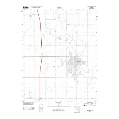 2010 Blackwell2010 Print · USGSBlackwell and its surrounding Kay County oil fields are documented here in the early twenty-first century. Researchers can trace local landmarks like the Earl Henry Airport, the rural reaches of Bitter Creek, and industrial footprints including the Blackwell Oil and Gas Field.
 - 2010 Map of Ponca City NW, 2010 Print
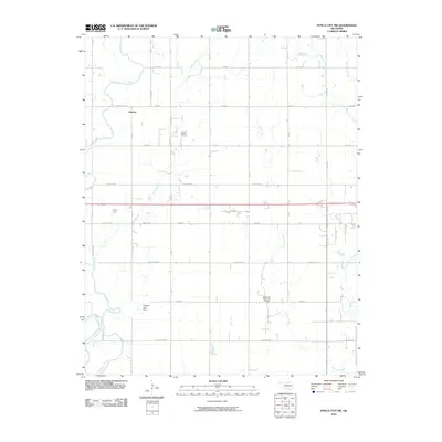 2010 Ponca City NW2010 Print · USGSThe rural landscape of Kay County is captured here in the early 21st century, defined by its petroleum history and river systems. Genealogists and local historians can locate the settlement of Autwine and trace the paths of the Chikaskia River and Autwine Oil Field.
 - 2010 Map of Ponca City, 2010 Print
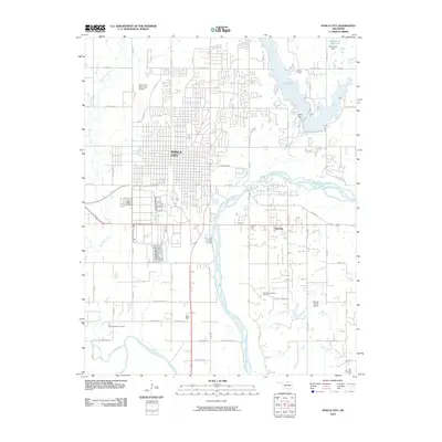 2010 Ponca City2010 Print · USGSPonca City and the Arkansas River valleys are documented here during the early 2000s. Genealogists and historians can locate the Ponca Indian Cemetery and White Eagle, alongside industrial sites like the Southwest McCord Oil Field and the waters of Lake Ponca.
 - 2010 Map of Kildare, 2010 Print
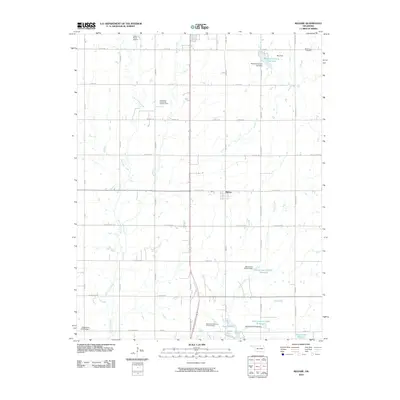 2010 Kildare2010 Print · USGSOklahoma's northern plains are captured here in the early twenty-first century, showing a mix of energy production and rural community life. Researchers can find deep local roots at Wolf Creek Cemetery or trace the extent of the Northwest Kildare Oil and Gas Field.
 - 2010 Map of Uncas, 2010 Print
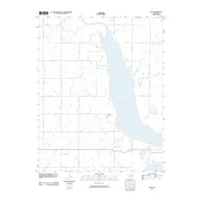 2010 Uncas2010 Print · USGSKaw Lake and the Arkansas River valley are captured in this early twenty-first-century survey of Kay County. Genealogists and local historians can trace the rural road network surrounding Uncas and locate waterfront features along Coon Creek and Bear Creek.
 - 2010 Map of Ponca City SE, 2010 Print
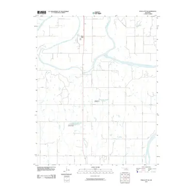 2010 Ponca City SE2010 Print · USGSThe confluence of the Salt Fork and Arkansas Rivers defines this Kay County landscape during the early twenty-first century. Genealogists and local historians can trace the roads around White Eagle and the Ponca Indian Agency, or locate landmarks like Cowboy Hill.
 - 2010 Map of Nardin, 2010 Print
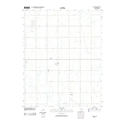 2010 Nardin2010 Print · USGSThe Kay County plains around the turn of the millennium are defined by a mix of agriculture and energy extraction. Researchers can locate Mount Olive Cemetery, the settlement of Nardin, and several regional petroleum zones like the Deer Creek Oil Field.
 - 2010 Map of Charley Creek West, 2010 Print
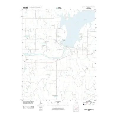 2010 Charley Creek West2010 Print · USGSNear Ponca City during the early twenty-first century, the landscape is defined by the massive Kaw Dam and the waters of the Arkansas River. Researchers can trace local landmarks like Sunset Memorial Gardens, Camp McFadden, and the production footprints of the Hardy Oil Field.
 - 2010 Map of Braman, 2010 Print
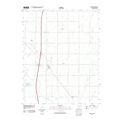 2010 Braman2010 Print · USGSKay County near the Kansas border is captured here during a period of sustained energy production and rural quiet. Local historians can trace the extent of the Braman Oil Field or locate family sites near Braman Cemetery and the small settlement of Sumpter.
 - 2010 Map of Newkirk, 2010 Print
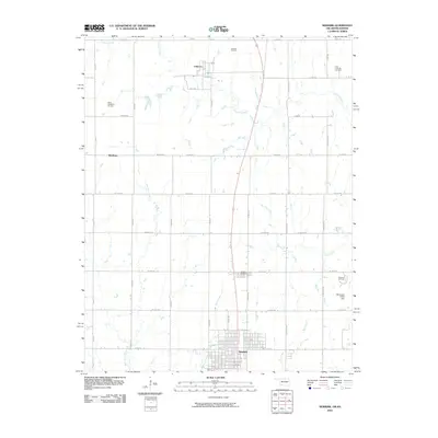 2010 Newkirk2010 Print · USGSKay County, Oklahoma, is shown in the early twenty-first century as a landscape defined by its grid roads and petroleum heritage. Researchers can trace the footprints of established settlements like Chilocco and Middleton or locate family sites near the Newkirk Cemetery.
 - 2010 Map of Hardy, 2010 Print
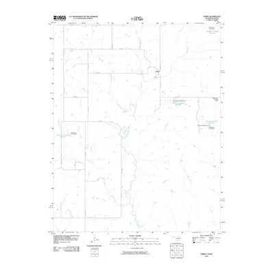 2010 Hardy2010 Print · USGSHardy and the surrounding Kay County borderlands appear in the early twenty-first century as a landscape of structured ranching and seasonal creeks. Researchers can trace the rural road grid and water management features like Little Beaver Creek, Hardy, and the Oknoname 071037 Reservoir.
 - 2010 Map of Blackwell NW, 2010 Print
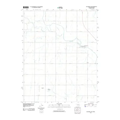 2010 Blackwell NW2010 Print · USGSThe Kansas-Oklahoma borderlands appear here in the early twenty-first century as a landscape of productive oil fields and managed waterways. Researchers can locate the Triumph Cemetery or trace the industrial footprint of the Webb North Oil Field and Lake Blackwell.
 - 2010 Map of Peckham, 2010 Print
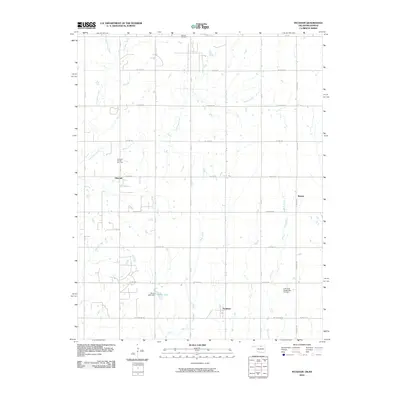 2010 Peckham2010 Print · USGSThe oil-rich plains of northern Oklahoma are captured here in the early twenty-first century, showcasing a landscape defined by energy extraction and agricultural grids. Trace the industrial footprint of the Dilworth Oil and Gas Field and locate rural landmarks like Wentz Lake and the settlement of Peckham.
 - 2010 Map of Kaw City NW, 2010 Print
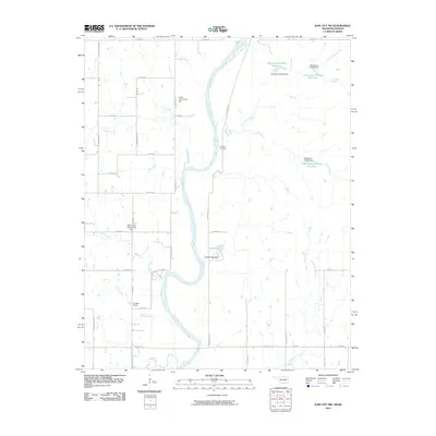 2010 Kaw City NW2010 Print · USGSNorth of Kaw City during the early twenty-first century, the Arkansas River basin shows a landscape of rural community halls and winding creeks. Researchers can locate Cooper Cemetery and trace the paths of Chilocco Creek and Sandy Creek as they meet the river.
 - 2012 Map of Blackwell NW, 2012 Print
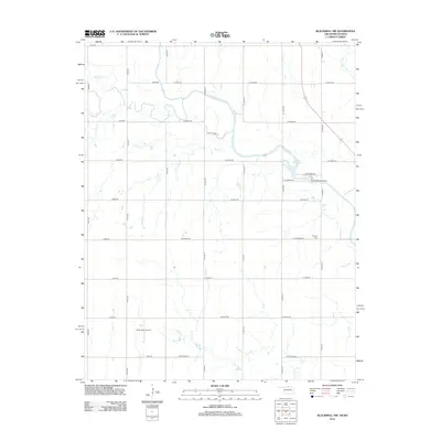 2012 Blackwell NW2012 Print · USGSThe Kansas-Oklahoma state line area is captured here during the early twenty-first century, showing a rural landscape shaped by agriculture and energy. Genealogists and historians can locate the Triumph Cem, trace the waters of Bluff Cr, or examine the footprints of the Webb North Oil Field.
 - 2012 Map of Nardin, 2012 Print
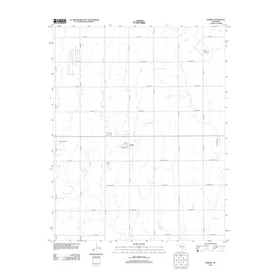 2012 Nardin2012 Print · USGSKay County, Oklahoma, is shown in the early twenty-first century as a landscape of energy extraction and structured prairie farming. Researchers can locate the Mt Olive Cem and trace the footprints of the North Nardin Oil and Gas Field and Deer Creek Oil Field.
 - 2012 Map of Tonkawa, 2012 Print
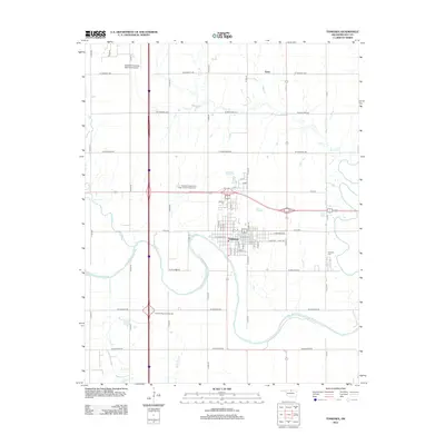 2012 Tonkawa2012 Print · USGSIn the early twenty-first century, the riverfront town of Tonkawa serves as a vital Oklahoma crossroads near the Kansas border. Genealogists and historians can trace local families at the Tonkawa Cem or examine the campus layout of Northern Oklahoma Coll.
 - 2012 Map of Billings, 2012 Print
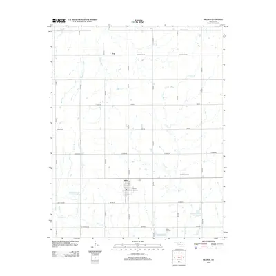 2012 Billings2012 Print · USGSOklahoma's wheat and oil country comes into sharp focus during the early twenty-first century, centered on the community of Billings. Genealogists and historians can trace local sites such as Billings Union Cem, the East Billings Oil Field, and the outlying settlement of Polk.
 - 2012 Map of Kildare, 2012 Print
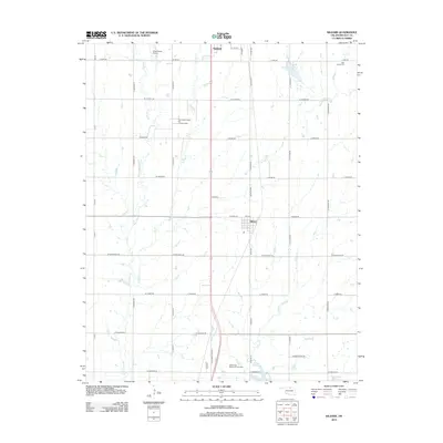 2012 Kildare2012 Print · USGSKay County at the start of the 2010s shows a landscape of steady agricultural and industrial rhythm. Genealogists and historians can locate family sites at Wolf Creek Cem, trace the Northwest Kildare Oil and Gas Field, or find the old Kildare townsite.
 - 2012 Map of Peckham, 2012 Print
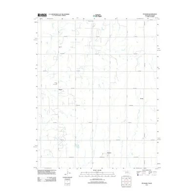 2012 Peckham2012 Print · USGSNorthern Kay County at the start of the 2010s reveals a landscape defined by the energy industry and rural crossroads. Researchers can trace the layout of Dilworth, find Plainview Cem, and locate the Murphy Oil Field amidst numerous creek branches.
 - 2012 Map of Blackwell, 2012 Print
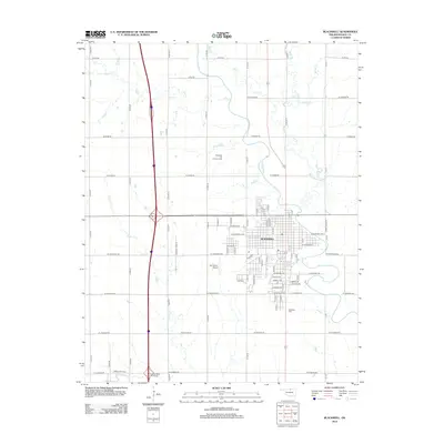 2012 Blackwell2012 Print · USGSKay County at the start of the 2010s shows a landscape shaped by petroleum and prairie streams. Genealogists and local historians can trace the town grid of Blackwell, locate family plots at Blackwell Cem, or study the footprints of the Blackwell Oil and Gas Field.
 - 2012 Map of Newkirk SW, 2012 Print
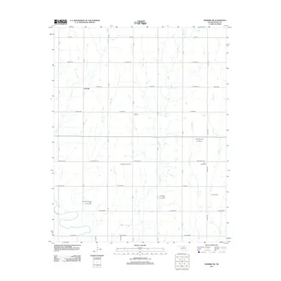 2012 Newkirk SW2012 Print · USGSThe Oklahoma plains of Kay County are captured here in the early twenty-first century, showcasing a landscape defined by ranching and energy production. Researchers can locate family landmarks such as Saint Johns Cem or trace the reach of the Blackwell East Oil Field and Grainville.
 - 2012 Map of Charley Creek East, 2012 Print
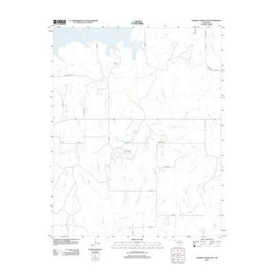 2012 Charley Creek East2012 Print · USGSOsage County in the early 2010s is shown as a landscape where industrial energy production meets the sprawling waters of the Arkansas River basin. Researchers can trace the extent of the Kaw Oil Field or follow the paths of rural landmarks like Possum Hollar Rd and W Fork Doga Cr.
 - 2012 Map of Tonkawa SE, 2012 Print
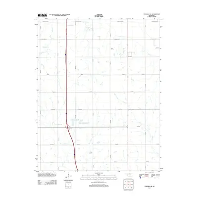 2012 Tonkawa SE2012 Print · USGSNoble County's prairie landscape is captured here in the early twenty-first century, showing the established grid of section roads and energy infrastructure. Researchers can locate Prairie View Cem, Floral Ridge Cem, and the sprawling Tonkawa Oil Field.
 - 2012 Map of Ponca City NW, 2012 Print
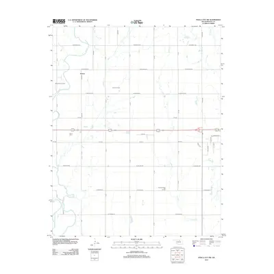 2012 Ponca City NW2012 Print · USGSNorthwest of Ponca City in the early 2010s, this Kay County landscape shows a mix of traditional prairie agriculture and active energy production. Researchers can trace the layout of Autwine and locate extensive petroleum sites like the Autwine Oil Field and West Autwine Oil Field.
Showing maps 1-25 of 80
Top cities of Kay County
- Ponca City historical maps
- Blackwell historical maps
- Tonkawa historical maps
- Newkirk historical maps
- Kaw City historical maps
- Braman historical maps
See more
Frequently asked questions
- What are the different types of historical maps available for Kay County?
- What is the oldest map of Kay County?
- Where can I purchase historical maps of Kay County for my home or office?
- Where can I download high-res historical maps of Kay County?
- Are there historical topographic maps available for Kay County?
- Is there historical aerial imagery available for Kay County?
- Where are historical maps of Kay County sourced from?