2000s (21st Century) Maps of LeFlore County, Oklahoma
Explore 185 historic maps of LeFlore County from the 2000s (21st Century). These maps offer a rare glimpse into what life looked like during the 2000s — showing old roads, neighborhoods, homes, and landmarks that have changed or disappeared over time.
Whether you're researching your family's past, planning a metal detecting trip, or studying how LeFlore County's landscape evolved across the 2000s, these high-resolution maps are a powerful tool for exploring the history of this region.
- Focus on a specific era: All maps on this page are from the 2000s, giving you a focused view of this time period.
- See what’s changed: Compare century-old streets, trails, and buildings to today's modern landscape using overlays and satellite layers.
- Research with precision: Use these maps for genealogy, historical research, land use analysis, or educational projects.
- View, download, or print: Maps are fully viewable online in high resolution, and can be downloaded or printed for your own records.
Start exploring LeFlore County's history through authentic maps from the 2000s. This is your window into the past.
LeFlore County, OK maps
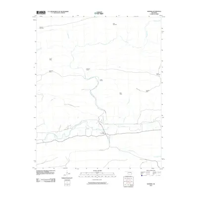
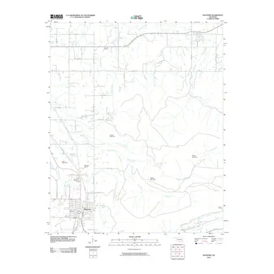
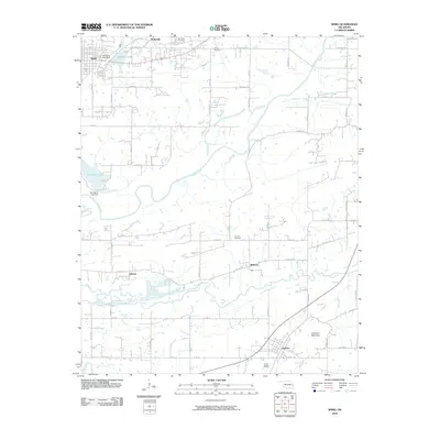
(185)- 2010 Map of Bokoshe, 2010 Print
 2010 Bokoshe2010 Print · USGSCovers LeFlore County, including Bokoshe, Milton, and other nearby areas
 - 2010 Map of Honobia, 2010 Print
 2010 Honobia2010 Print · USGSCovers LeFlore County, including Honobia, McCurtain County, and other nearby areas
 - 2010 Map of Panama, 2010 Print
 2010 Panama2010 Print · USGSCovers LeFlore County, including Poteau, Spiro, and other nearby areas
 - 2010 Map of Potato Peaks, 2010 Print
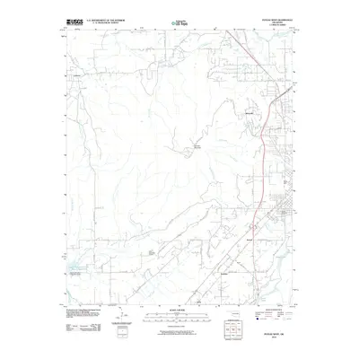
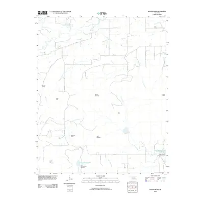 2010 Potato Peaks2010 Print · USGSCovers LeFlore County, including Bordeaux, Latham, and other nearby areas
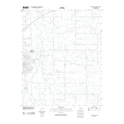
 - 2010 Map of Heavener, 2010 Print
 2010 Heavener2010 Print · USGSCovers LeFlore County, including Poteau, Heavener, and other nearby areas
 - 2010 Map of Poteau East, 2010 Print
 2010 Poteau East2010 Print · USGSCovers LeFlore County, including Poteau, Neff, and other nearby areas
 - 2010 Map of Fort Coffee, 2010 Print
 2010 Fort Coffee2010 Print · USGSCovers LeFlore County, including Pocola, Spiro, and other nearby areas
 - 2010 Map of McCurtain SW, 2010 Print
 2010 McCurtain SW2010 Print · USGSCovers LeFlore County, including Cedar, Walls, and other nearby areas
 - 2010 Map of Spiro, 2010 Print
 2010 Spiro2010 Print · USGSCovers LeFlore County, including Poteau, Pocola, and other nearby areas
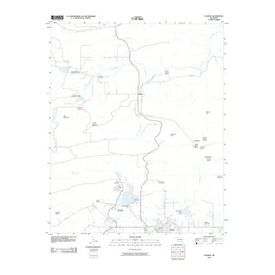
 - 2010 Map of Talihina, 2010 Print
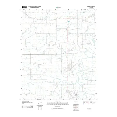
 2010 Talihina2010 Print · USGSCovers LeFlore County, including Talihina, Bengal, and other nearby areas
 - 2010 Map of Ludlow, 2010 Print
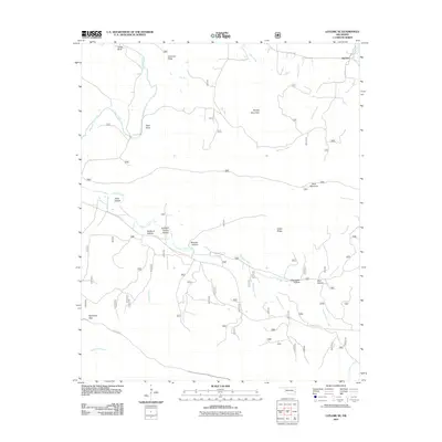
 2010 Ludlow2010 Print · USGSCovers LeFlore County, including Ludlow, McCurtain County, and other nearby areas
 - 2010 Map of Muldrow SW, 2010 Print
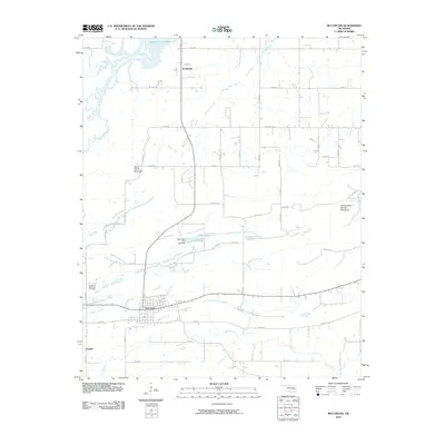
 2010 Muldrow SW2010 Print · USGSCovers LeFlore County, including Foreman, Stony Point, and other nearby areas
 - 2010 Map of Poteau West, 2010 Print
 2010 Poteau West2010 Print · USGSCovers LeFlore County, including Poteau, Shady Point, and other nearby areas
 - 2010 Map of Wister, 2010 Print
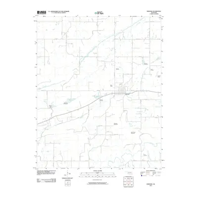
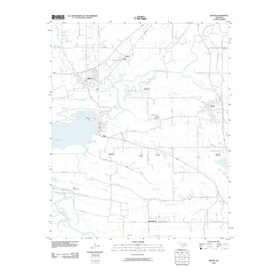 2010 Wister2010 Print · USGSCovers LeFlore County, including Poteau, Heavener, and other nearby areas
 - 2010 Map of McCurtain, 2010 Print
 2010 McCurtain2010 Print · USGSCovers LeFlore County, including McCurtain, Panther, and other nearby areas
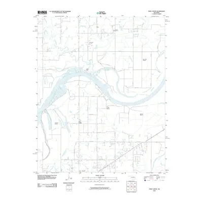
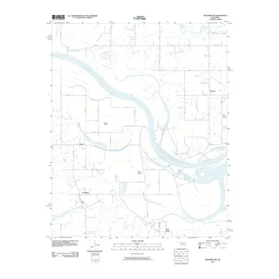
 - 2010 Map of Robert S Kerr Dam, 2010 Print
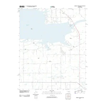 2010 Robert S Kerr Dam2010 Print · USGSCovers LeFlore County, including Cowlington, Star, and other nearby areas
 - 2010 Map of Albion, 2010 Print
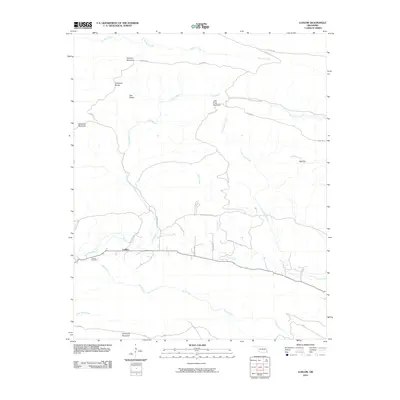
 2010 Albion2010 Print · USGSCovers LeFlore County, including Talihina, Albion, and other nearby areas
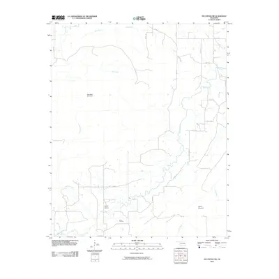
 - 2011 Map of Big Cedar, 2011 Print
 2011 Big Cedar2011 Print · USGSCovers LeFlore County, including Big Cedar, United States, and other nearby areas
 - 2011 Map of Hodgen, 2011 Print
 2011 Hodgen2011 Print · USGSCovers LeFlore County, including Conser, Hodgens Station, and other nearby areas
 - 2011 Map of Whitesboro, 2011 Print
 2011 Whitesboro2011 Print · USGSCovers LeFlore County, including Whitesboro, Pushmataha County, and other nearby areas
 - 2011 Map of Blackjack Ridge, 2011 Print
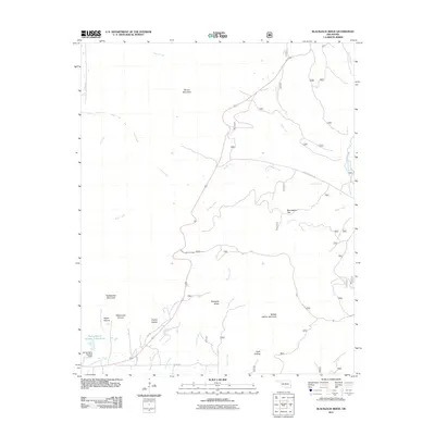 2011 Blackjack Ridge2011 Print · USGSCovers LeFlore County, including Latimer County, United States, and other nearby areas
 - 2011 Map of Octavia, 2011 Print
 2011 Octavia2011 Print · USGSCovers LeFlore County, including Octavia, McCurtain County, and other nearby areas
 - 2011 Map of Leflore SE, 2011 Print
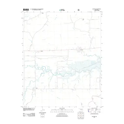
 2011 Leflore SE2011 Print · USGSCovers LeFlore County, including Reichert, United States, and other nearby areas
 - 2011 Map of Leflore, 2011 Print
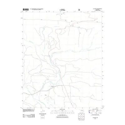
 2011 Leflore2011 Print · USGSCovers LeFlore County, including Le Flore, Norris, and other nearby areas
 - 2011 Map of Hontubby, 2011 Print
 2011 Hontubby2011 Print · USGSCovers LeFlore County, including Heavener, Haw Creek, and other nearby areas
Showing maps 1-25 of 185
Top cities of LeFlore County
- Poteau historical maps
- Pocola historical maps
- Heavener historical maps
- Spiro historical maps
- Arkoma historical maps
- Panama historical maps
See more
Frequently asked questions
- What are the different types of historical maps available for LeFlore County?
- What is the oldest map of LeFlore County?
- Where can I purchase historical maps of LeFlore County for my home or office?
- Where can I download high-res historical maps of LeFlore County?
- Are there historical topographic maps available for LeFlore County?
- Is there historical aerial imagery available for LeFlore County?
- Where are historical maps of LeFlore County sourced from?