2010s Maps of LeFlore County, Oklahoma
Explore 142 historic maps of LeFlore County from the 2010s. These maps offer a rare glimpse into what life looked like during the 2010s — showing old roads, neighborhoods, homes, and landmarks that have changed or disappeared over time.
Whether you're researching your family's past, planning a metal detecting trip, or studying how LeFlore County's landscape evolved across the 2010s, these high-resolution maps are a powerful tool for exploring the history of this region.
- Focus on a specific era: All maps on this page are from the 2010s, giving you a focused view of this time period.
- See what’s changed: Compare century-old streets, trails, and buildings to today's modern landscape using overlays and satellite layers.
- Research with precision: Use these maps for genealogy, historical research, land use analysis, or educational projects.
- View, download, or print: Maps are fully viewable online in high resolution, and can be downloaded or printed for your own records.
Start exploring LeFlore County's history through authentic maps from the 2010s. This is your window into the past.
LeFlore County, OK maps
(142)- 2010 Map of Bokoshe, 2010 Print
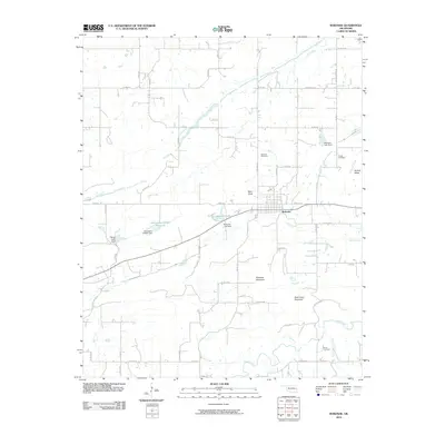 2010 Bokoshe2010 Print · USGSBokoshe and the surrounding LeFlore County countryside are documented here in the early twenty-first century, showing a landscape of low ridges and creeks. Genealogists can locate family landmarks like Bokoshe Cemetery and Powell Cemetery, or trace the winding course of Brazil Creek below Bokoshe Mountain.
 - 2010 Map of Honobia, 2010 Print
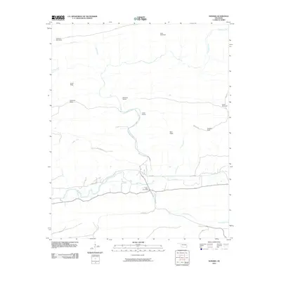 2010 Honobia2010 Print · USGSThe Kiamichi Mountains of southeastern Oklahoma are mapped here during the early twenty-first century, showing a landscape defined by ridges and river valleys. Researchers can trace the rugged local geography through family-named landmarks like Smith Ridge and remote sites such as Christs Forty Acres Camp.
 - 2010 Map of Panama, 2010 Print
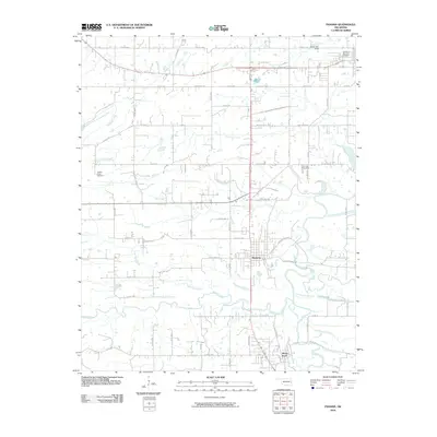 2010 Panama2010 Print · USGSPanama and Shady Point are captured here in the early twenty-first century, positioned along the winding Poteau River. Genealogists and local historians can trace family locations near Fair View Cemetery, Nubbin Ridge, and along the historic Midland Valley Rd.
 - 2010 Map of Potato Peaks, 2010 Print
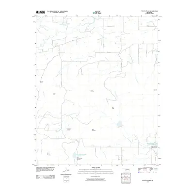 2010 Potato Peaks2010 Print · USGSLeFlore County at the start of the 2010s shows a landscape of prominent summits and rural homesteads. Genealogists can locate family burial sites at Dog Creek Cemetery and Long Prairie Cemetery or trace the drainages of Brazil Creek and Wildhorse Creek.
 - 2010 Map of Heavener, 2010 Print
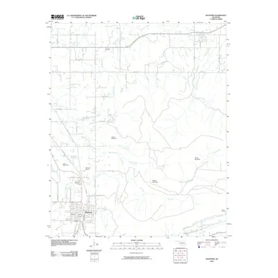 2010 Heavener2010 Print · USGSHeavener and the foothills of the Ouachita Mountains are captured here in the early twenty-first century. Genealogists can trace family roots through several local burial grounds including Hill Cemetery, Oakdale Cemetery, and Springhill Cemetery.
 - 2010 Map of Poteau East, 2010 Print
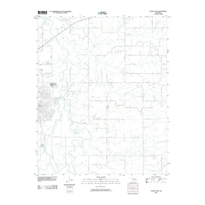 2010 Poteau East2010 Print · USGSLeFlore County at the start of the millennium shows the intersection of the growing city of Poteau and the winding wetlands of the Poteau River. Researchers can trace old transportation routes and local landmarks like Robert S Kerr Airport, The Cutoff, and Possum Valley Rd.
 - 2010 Map of Fort Coffee, 2010 Print
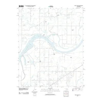 2010 Fort Coffee2010 Print · USGSLeFlore County's river valley and the community of Fort Coffee are documented here in the early 2000s, showing a landscape defined by the Arkansas River. Researchers can locate historic burial sites like New Hope Cemetery and landmarks such as Wilson Rock and Lees Chapel.
 - 2010 Map of McCurtain SW, 2010 Print
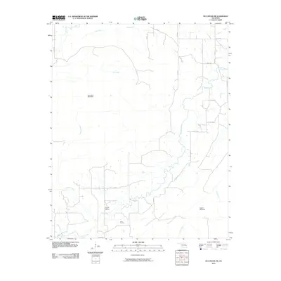 2010 McCurtain SW2010 Print · USGSLatimer County's energy landscape and mountain ridges are clearly defined in this 2010 survey of the Cedar area. Researchers can locate the Norris Cemetery and trace the extent of the Red Oak-Norris Gas Field and Sans Bois Mountain.
 - 2010 Map of Spiro, 2010 Print
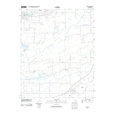 2010 Spiro2010 Print · USGSSpiro and its surrounding LeFlore County settlements are captured here in the early twenty-first century as the landscape balances water management and rural growth. Researchers can trace family history at French Cemetery, explore the banks of James Fork, or locate old landmarks near Skullyville.
 - 2010 Map of Talihina, 2010 Print
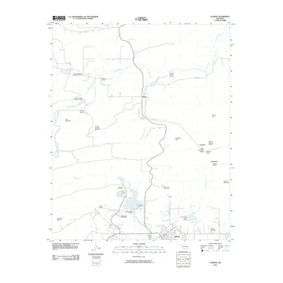 2010 Talihina2010 Print · USGSLeFlore County at the turn of the decade shows the mountain settlement of Talihina and the northern outposts of Bengal and Compton. Researchers can trace local lineage at Peachland Cemetery and explore the geography of Lamberson Crusher Hollow.
 - 2010 Map of Ludlow, 2010 Print
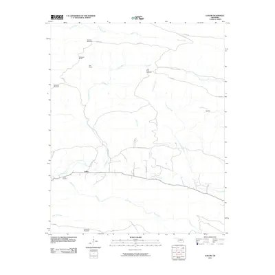 2010 Ludlow2010 Print · USGSLudlow and the surrounding LeFlore County peaks are shown here in the years before recent developments changed the rural landscape. Researchers can locate the Ludlow Cemetery and trace historical paths like the Honobia Trl near Deadman Mountain.
 - 2010 Map of Muldrow SW, 2010 Print
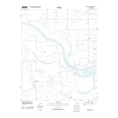 2010 Muldrow SW2010 Print · USGSOklahoma's river bottomlands are captured here in the early twenty-first century as the Arkansas River winds past rural agricultural communities. Genealogists and local historians can trace family locations near Center Point Cemetery or the small settlements of Foreman and Cowlington.
 - 2010 Map of Poteau West, 2010 Print
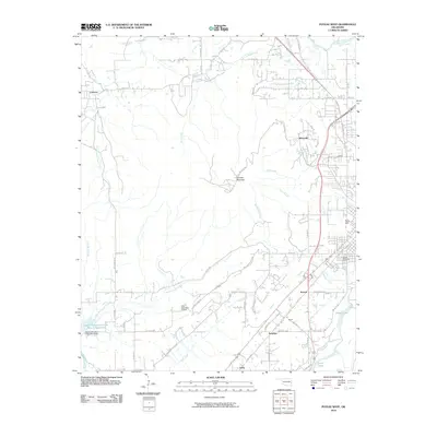 2010 Poteau West2010 Print · USGSLe Flore County's upland landscape west of the Poteau valley is documented here at the start of the decade. Genealogists and local historians can trace the footprints of Witteville, Calhoun, and Yerby, or locate family sites near Oakland Cemetery and Terrell Lake.
 - 2010 Map of Wister, 2010 Print
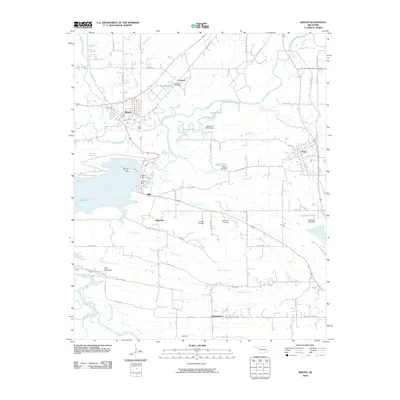 2010 Wister2010 Print · USGSLeFlore County's river valleys and reservoirs are captured here in the decade following the turn of the millennium. Researchers can trace the layout of Wister and Howe or locate family sites near the Hoteyaby Cemetery and McCurtain Cemetery.
 - 2010 Map of McCurtain, 2010 Print
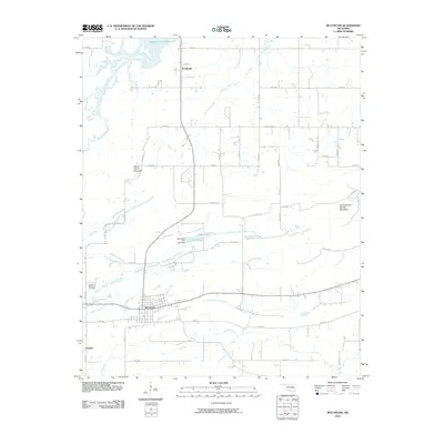 2010 McCurtain2010 Print · USGSHaskell County at the turn of the decade shows a landscape of established rural settlements and winding waterways. Researchers can locate family sites near the Garden of Memories Cemetery, trace the drainage of Wildhorse Creek, or study the area surrounding McCurtain.
 - 2010 Map of Robert S Kerr Dam, 2010 Print
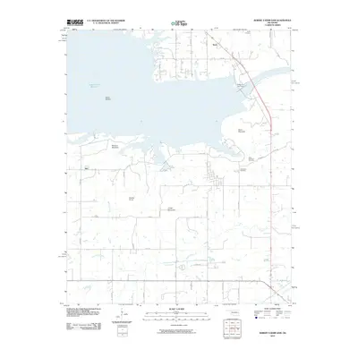 2010 Robert S Kerr Dam2010 Print · USGSLeFlore County's river landscape is shown here in the early twenty-first century, dominated by the massive Robert S Kerr Reservoir. Genealogists and local historians can locate rural landmarks like Brent Cemetery and the settlements of Brent and Star.
 - 2010 Map of Albion, 2010 Print
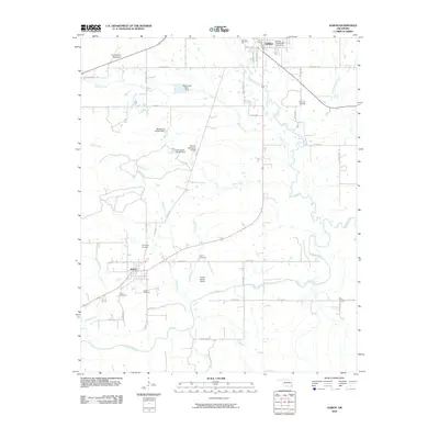 2010 Albion2010 Print · USGSThe valley of the Kiamichi River and the settlements of Talihina and Albion are shown here in the early twenty-first century. Genealogists can trace numerous burial grounds like McIntosh Cemetery and Armstrong Cemetery across this rural landscape.
 - 2011 Map of Big Cedar, 2011 Print
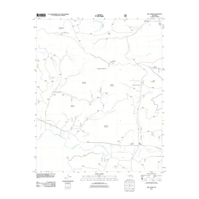 2011 Big Cedar2011 Print · USGSBig Cedar and the Kiamichi River valley are captured here in the early twenty-first century, showing a landscape defined by high ridges and mountain camps. Researchers can locate established landmarks like the John F Kennedy Memorial, the Ouachita Vocational Technical Camp, and Thief Spring.
 - 2011 Map of Hodgen, 2011 Print
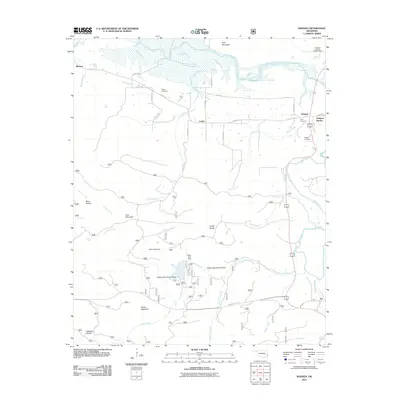 2011 Hodgen2011 Print · USGSLeFlore County's Ouachita National Forest terrain is captured here in the early twenty-first century, showing a landscape defined by ridges and river valleys. Genealogists and researchers can locate Naylor Cemetery, trace the roads around Hodgen, and explore the shoreline of Cedar Lake Dam.
 - 2011 Map of Whitesboro, 2011 Print
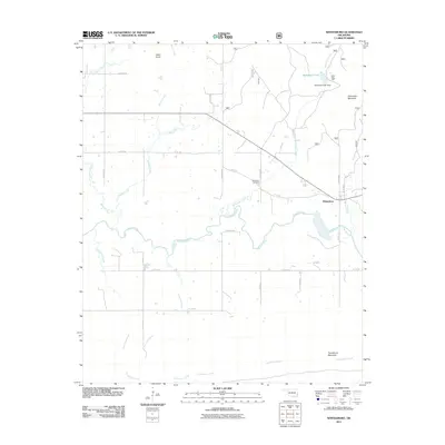 2011 Whitesboro2011 Print · USGSWhitesboro and the surrounding LeFlore County peaks are shown in detail during the early 2000s. Researchers can trace family ties at the Bohannon Cemetery or explore the geography around the Kiamichi River, Byhannon Lake, and Camp Tom Hale.
 - 2011 Map of Blackjack Ridge, 2011 Print
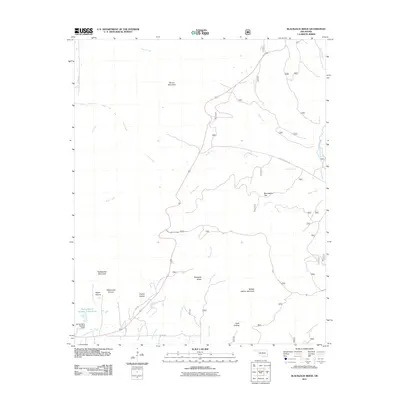 2011 Blackjack Ridge2011 Print · USGSLeFlore County at the start of the twenty-first century remains a landscape of high ridges and named hollows. Genealogists and hikers can trace old routes like Old Hwy or locate landmarks such as Blackjack Ridge and Flying Ranch Number 1 Reservoir.
 - 2011 Map of Octavia, 2011 Print
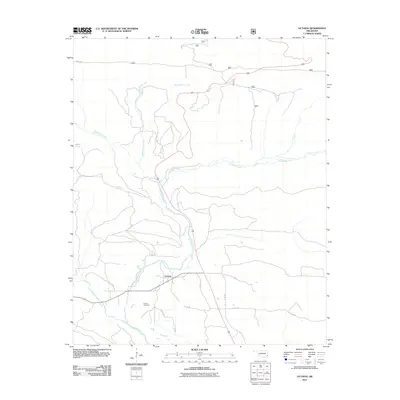 2011 Octavia2011 Print · USGSOctavia and its surrounding creek valleys appear in detail during the early twenty-first century. Researchers can trace local landmarks and family sites near Octavia Cemetery or follow the waters of Big Eagle Creek and Cucumber Creek.
 - 2011 Map of Leflore SE, 2011 Print
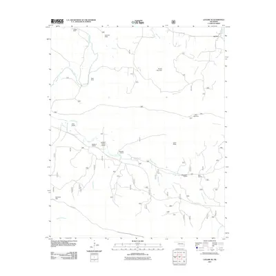 2011 Leflore SE2011 Print · USGSLeFlore County at the turn of the twenty-first century reveals a landscape of isolated ridges and named hollows near Reichert. Genealogists and researchers can trace the drainages of Sulphur Spring Hollow and Clearwater Hollow or find landmarks like Deadman Gap.
 - 2011 Map of Leflore, 2011 Print
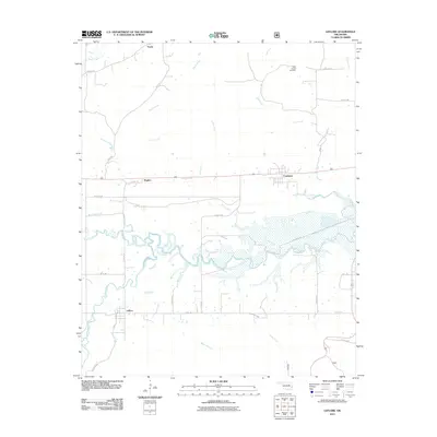 2011 Leflore2011 Print · USGSLeFlore County at the start of the 2010s reveals a landscape where the Poteau River and Fourche Maline converge. Researchers can trace rural lineages at Hicks Chapel Cemetery or explore the old footprints of Leflore, Fanshawe, and Norris.
 - 2011 Map of Hontubby, 2011 Print
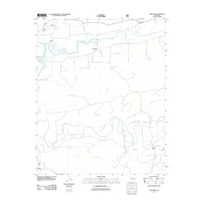 2011 Hontubby2011 Print · USGSEastern Oklahoma's river valleys and forest lands are documented here in the early twenty-first century. Researchers can trace rural life and geography through sites like the Big Creek Cemetery, Hontubby Falls, and the settlement at Haw Creek.
Showing maps 1-25 of 142
Top cities of LeFlore County
- Poteau historical maps
- Pocola historical maps
- Heavener historical maps
- Spiro historical maps
- Arkoma historical maps
- Panama historical maps
See more
Frequently asked questions
- What are the different types of historical maps available for LeFlore County?
- What is the oldest map of LeFlore County?
- Where can I purchase historical maps of LeFlore County for my home or office?
- Where can I download high-res historical maps of LeFlore County?
- Are there historical topographic maps available for LeFlore County?
- Is there historical aerial imagery available for LeFlore County?
- Where are historical maps of LeFlore County sourced from?