2020s Maps of LeFlore County, Oklahoma
Explore 43 historic maps of LeFlore County from the 2020s. These maps offer a rare glimpse into what life looked like during the 2020s — showing old roads, neighborhoods, homes, and landmarks that have changed or disappeared over time.
Whether you're researching your family's past, planning a metal detecting trip, or studying how LeFlore County's landscape evolved across the 2020s, these high-resolution maps are a powerful tool for exploring the history of this region.
- Focus on a specific era: All maps on this page are from the 2020s, giving you a focused view of this time period.
- See what’s changed: Compare century-old streets, trails, and buildings to today's modern landscape using overlays and satellite layers.
- Research with precision: Use these maps for genealogy, historical research, land use analysis, or educational projects.
- View, download, or print: Maps are fully viewable online in high resolution, and can be downloaded or printed for your own records.
Start exploring LeFlore County's history through authentic maps from the 2020s. This is your window into the past.
LeFlore County, OK maps
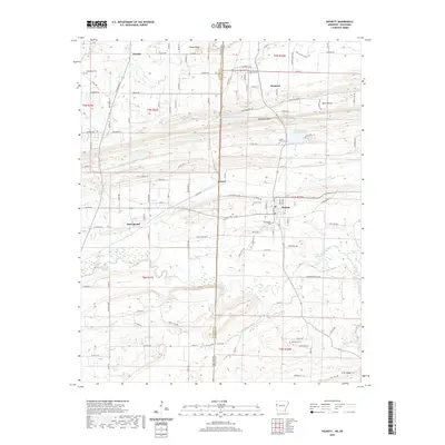
(43)- 2020 Map of Hartford, 2020 Print
 2020 Hartford2020 Print · USGSCovers LeFlore County, including Hartford, Hill, and other nearby areas
 - 2020 Map of Hackett, 2020 Print
 2020 Hackett2020 Print · USGSCovers LeFlore County, including Pocola, Hackett, and other nearby areas
 - 2020 Map of Bates, 2020 Print
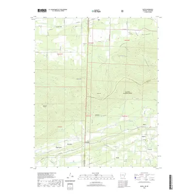 2020 Bates2020 Print · USGSCovers LeFlore County, including Gipson, Sugar Creek, and other nearby areas
 - 2020 Map of South Fort Smith, 2020 Print
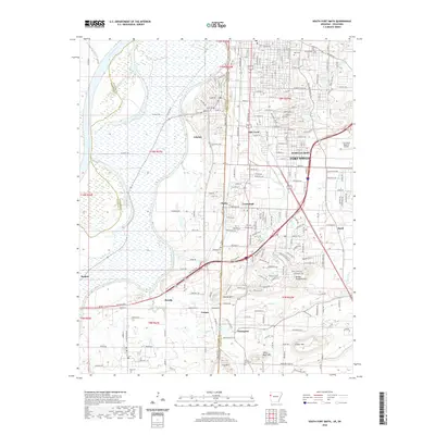 2020 South Fort Smith2020 Print · USGSCovers LeFlore County, including Fort Smith, Pocola, and other nearby areas
 - 2020 Map of Fort Smith, 2020 Print
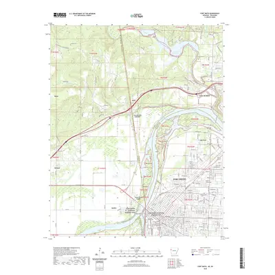 2020 Fort Smith2020 Print · USGSCovers LeFlore County, including Fort Smith, Van Buren, and other nearby areas
 - 2020 Map of Mountain Fork, 2020 Print
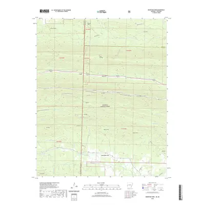 2020 Mountain Fork2020 Print · USGSCovers LeFlore County, including Fogel, Fogel, and other nearby areas
 - 2022 Map of Octavia, 2022 Print
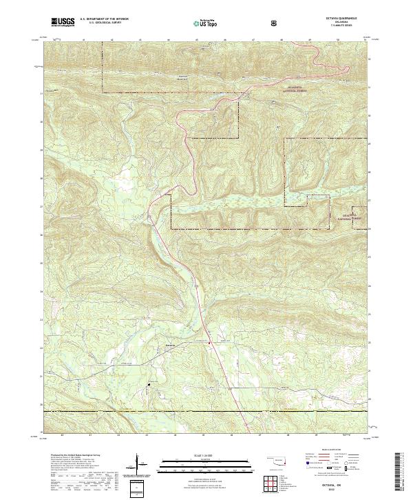 2022 Octavia2022 Print · USGSThe rural settlement of Octavia is documented here in the early twenty-first century as it sits within the highland terrain of the Kiamichi Mountains. Researchers can locate the Octavia Cem and trace the paths of Big Eagle Creek and Cucumber Cr.
 - 2022 Map of Muse, 2022 Print
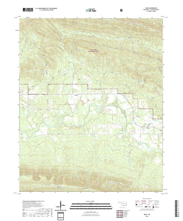 2022 Muse2022 Print · USGSLe Flore County's river-and-mountain landscape is captured here in the early twenty-first century, showing the rural communities along the Kiamichi River. Family historians can locate the Muse Cem and trace the historic Choctaw Nation Trl through the heights of Winding Stair Mtn.
 - 2022 Map of Leflore SE, 2022 Print
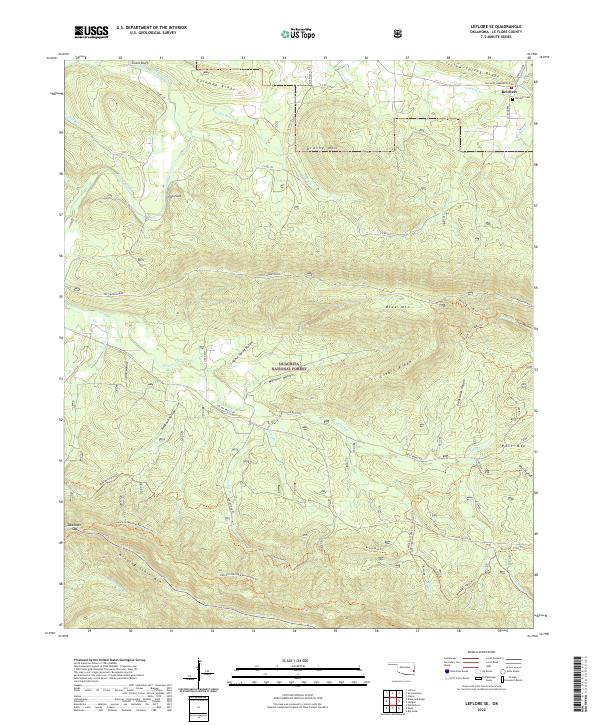 2022 Leflore SE2022 Print · USGSLe Flore County’s mountainous interior is shown here in the 2020s, dominated by the peaks and valleys of the Ouachita National Forest. Researchers can trace the local settlement of Reichert, find the Reichert Cem, and follow backcountry routes like Post Mountain Rd or the Boardstand Trl.
 - 2022 Map of Heavener, 2022 Print
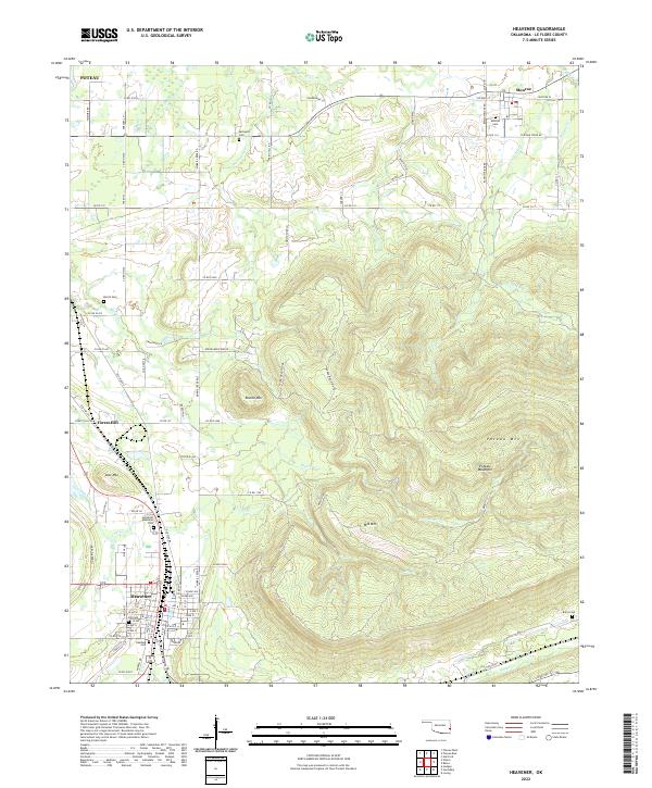 2022 Heavener2022 Print · USGSHeavener and the valley beneath Poteau Mountain are documented in this recent survey of the Oklahoma borderlands. Local researchers can trace family sites and community centers from Heavener Memorial Park to outlying burial grounds like Monroe Cem and Springhill Cem.
 - 2022 Map of Whitesboro, 2022 Print
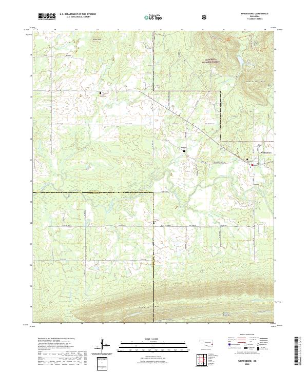 2022 Whitesboro2022 Print · USGSLe Flore and Pushmataha Counties are shown here at the edge of the Kiamichi Mountains in the early 2020s. Genealogists and hikers can trace the Choctaw Nation Trl and locate several burial grounds including Whitesboro Cem and Bohannon Cem.
 - 2022 Map of Big Cedar, 2022 Print
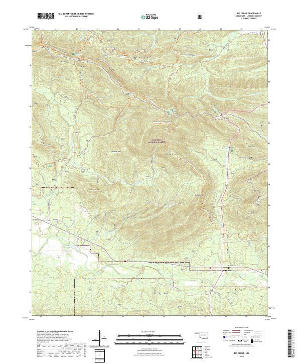 2022 Big Cedar2022 Print · USGSThe area around Big Cedar and the Kiamichi River is shown here as it appears today, dominated by the forest ridges of the Ouachita Mountains. Genealogists can locate the Big Cedar Cem and trace historic routes like the Horsethief Springs Trl.
 - 2022 Map of Ludlow, 2022 Print
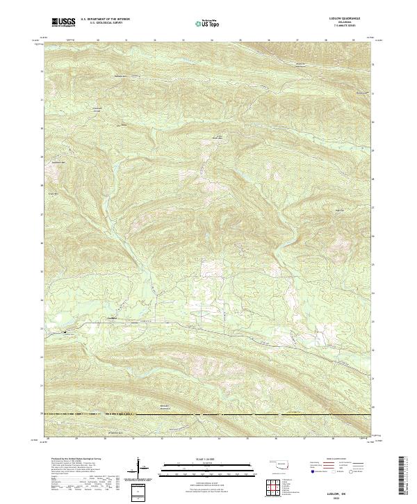 2022 Ludlow2022 Print · USGSSoutheast Oklahoma in the early 2020s remains a landscape of high ridges and winding waterways. Genealogists and local historians can trace the settlement at Ludlow, locate the Ludlow Cem, and follow the historic Honobia Trl through the Kiamichi Mountains.
 - 2022 Map of Page, 2022 Print
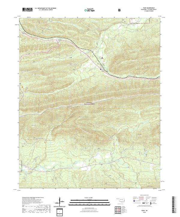 2022 Page2022 Print · USGSLe Flore County’s mountainous interior is shown in great detail during the early twenty-first century as part of the National Forest system. Genealogists and hikers can trace the winding Ouachita National Recreation Trl or locate the Page Cem and McClure Cem near the town of Page.
 - 2022 Map of Lynn Mountain, 2022 Print
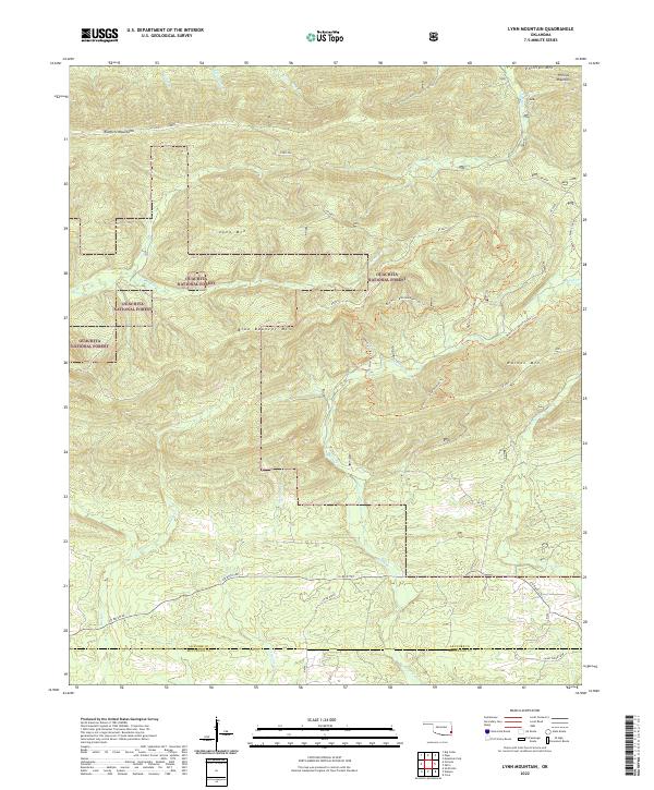 2022 Lynn Mountain2022 Print · USGSThe Ouachita highlands of southeastern Oklahoma are captured here in the early twenty-first century, showcasing a landscape of high ridges and forest service routes. Outdoorsmen and local historians can trace paths like the Beech Cr - Blue Bouncer Trl across Lynn Mtn and Walnut Mtn.
 - 2022 Map of Talihina, 2022 Print
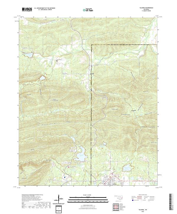 2022 Talihina2022 Print · USGSTalihina and the surrounding Kiamichi mountains come into sharp focus in this recent survey of the Le Flore County landscape. Researchers can locate the Peachland Cem or trace the drainage of Rock Creek from Lake Carl Albert past the slopes of Winding Stair Mtn.
 - 2022 Map of Albion, 2022 Print
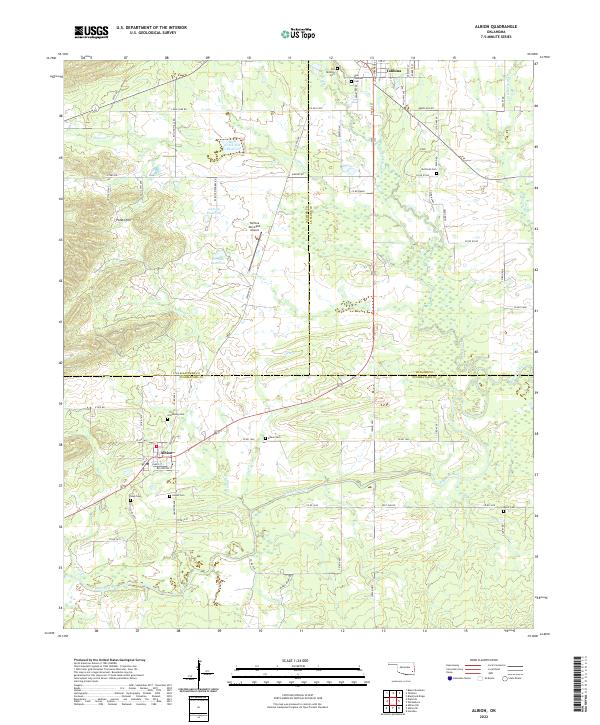 2022 Albion2022 Print · USGSThe Kiamichi River valley and the distinctive Potato Hills region come alive in this recent survey of eastern Oklahoma. Genealogists and historians can trace local family lineages through numerous sites like Armstrong Cem, Albion Cem, and the historic Old Talihina Cem.
 - 2022 Map of Loving, 2022 Print
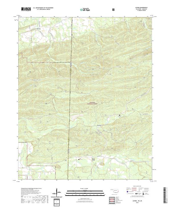 2022 Loving2022 Print · USGSThe Oklahoma and Arkansas state line in Le Flore County was a region of high ridges and forest settlements in the early twenty-first century. Researchers can trace family history through sites like Haw Creek Cem, the community of Loving, and the Blackfork Trl near Puryear.
 - 2022 Map of Summerfield, 2022 Print
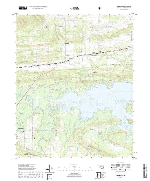 2022 Summerfield2022 Print · USGSLe Flore County at the edge of the mountains shows a landscape of timbered ridges and river bottomlands. Genealogists can locate family sites like Summerfield Cem or Maxey Cem near settlements such as Fanshawe and Victor.
 - 2022 Map of Hodgen, 2022 Print
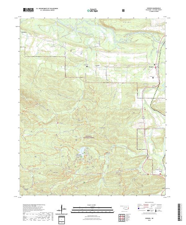 2022 Hodgen2022 Print · USGSLe Flore County's rugged Ouachita mountain terrain is captured here in the early 2020s, centered on the historic crossroads of Hodgen. Genealogists and hikers can trace family sites like the Conser House Family Cem or follow the Horsethief - Goldville Divide Trl through the deep forest.
 - 2022 Map of Leflore, 2022 Print
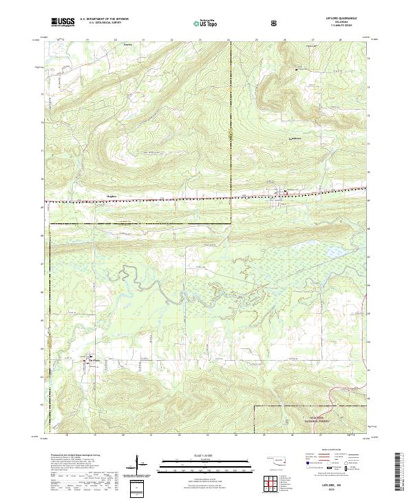 2022 Leflore2022 Print · USGSThe Oklahoma borderlands near the Latimer and Le Flore county line are documented here in the early twenty-first century. Researchers can trace the rural communities of Le Flore and Fanshawe or locate local burial grounds like LeFlore Cem and Chapel Cem.
 - 2022 Map of Blackjack Ridge, 2022 Print
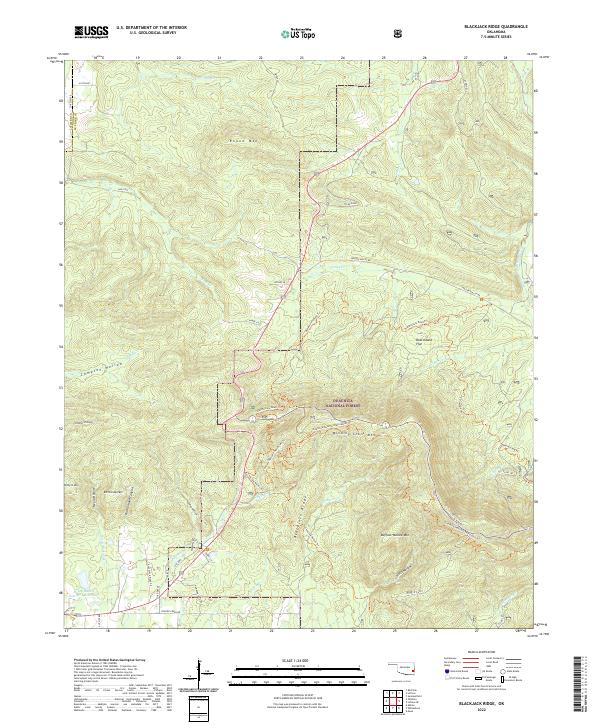 2022 Blackjack Ridge2022 Print · USGSLe Flore County and the surrounding forest lands are mapped here in the early 2020s, showing a landscape defined by ridgelines and historic transit paths. Researchers can trace the Old Military Road Trl and Choctaw Nation Trl across landmarks like Winding Stair Mtn and Boardstand Flat.
 - 2022 Map of Honobia, 2022 Print
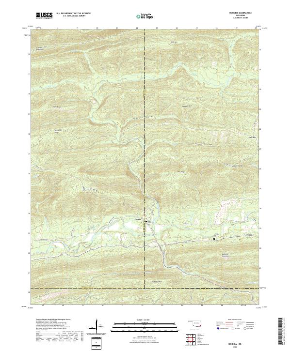 2022 Honobia2022 Print · USGSHonobia and the surrounding Ouachita highlands of southeastern Oklahoma are documented in this recent survey. Researchers can locate family landmarks such as Rock Creek Cem and Springhill Cem or trace the geography of the Kiamichi Mountains and Little River.
 - 2022 Map of Zafra, 2022 Print
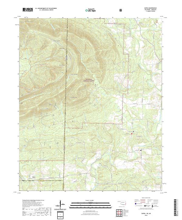 2022 Zafra2022 Print · USGSCrossing the Oklahoma-Arkansas border in the early 21st century, this area shows the intersection of deep forest management and small rural outposts. Genealogists can locate family landmarks like Stinett-Cem and Gann Cem near the banks of the Mountain Fork river.
 - 2022 Map of Wister, 2022 Print
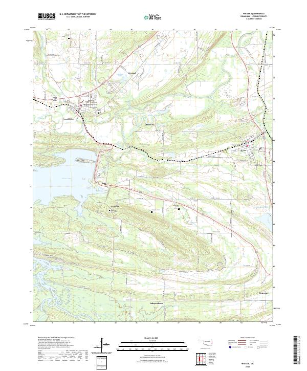 2022 Wister2022 Print · USGSLe Flore County in the early twenty-first century is defined by the expansive Wister Lake and the rail corridors that link its small communities. Genealogists can trace family roots through several local burial sites, including Ellis Chapel Cem, Hoteyaby Cem, and Howe Cem.
Showing maps 1-25 of 43
Top cities of LeFlore County
- Poteau historical maps
- Pocola historical maps
- Heavener historical maps
- Spiro historical maps
- Arkoma historical maps
- Panama historical maps
See more
Frequently asked questions
- What are the different types of historical maps available for LeFlore County?
- What is the oldest map of LeFlore County?
- Where can I purchase historical maps of LeFlore County for my home or office?
- Where can I download high-res historical maps of LeFlore County?
- Are there historical topographic maps available for LeFlore County?
- Is there historical aerial imagery available for LeFlore County?
- Where are historical maps of LeFlore County sourced from?